687 Golson Rd Calhoun, LA 71225
Estimated Value: $354,000 - $454,000
Studio
--
Bath
2,950
Sq Ft
$141/Sq Ft
Est. Value
About This Home
This home is located at 687 Golson Rd, Calhoun, LA 71225 and is currently estimated at $415,415, approximately $140 per square foot. 687 Golson Rd is a home located in Ouachita Parish with nearby schools including Calhoun Elementary School, Central Elementary School, and Calhoun Middle School.
Ownership History
Date
Name
Owned For
Owner Type
Purchase Details
Closed on
May 19, 2010
Sold by
Head Kenneth York and Head Peggy Sullivan
Bought by
Head Toby Scott
Current Estimated Value
Home Financials for this Owner
Home Financials are based on the most recent Mortgage that was taken out on this home.
Original Mortgage
$184,000
Outstanding Balance
$121,966
Interest Rate
5.14%
Mortgage Type
Purchase Money Mortgage
Estimated Equity
$293,449
Create a Home Valuation Report for This Property
The Home Valuation Report is an in-depth analysis detailing your home's value as well as a comparison with similar homes in the area
Purchase History
| Date | Buyer | Sale Price | Title Company |
|---|---|---|---|
| Head Toby Scott | $230,000 | None Available | |
| Head Kenneth York | $180,000 | None Available |
Source: Public Records
Mortgage History
| Date | Status | Borrower | Loan Amount |
|---|---|---|---|
| Open | Head Toby Scott | $184,000 |
Source: Public Records
Tax History
| Year | Tax Paid | Tax Assessment Tax Assessment Total Assessment is a certain percentage of the fair market value that is determined by local assessors to be the total taxable value of land and additions on the property. | Land | Improvement |
|---|---|---|---|---|
| 2025 | $2,664 | $2,377 | $1,500 | $877 |
| 2024 | $2,664 | $36,032 | $1,500 | $34,532 |
| 2023 | $2,697 | $36,032 | $1,500 | $34,532 |
| 2022 | $3,274 | $36,032 | $1,500 | $34,532 |
| 2021 | $3,315 | $36,909 | $1,500 | $35,409 |
| 2020 | $3,315 | $36,909 | $1,500 | $35,409 |
| 2019 | $2,100 | $23,450 | $1,500 | $21,950 |
| 2018 | $1,428 | $23,450 | $1,500 | $21,950 |
| 2017 | $2,100 | $23,450 | $1,500 | $21,950 |
| 2016 | $2,099 | $23,450 | $1,500 | $21,950 |
| 2015 | $1,425 | $23,450 | $1,500 | $21,950 |
| 2014 | $1,425 | $23,450 | $1,500 | $21,950 |
| 2013 | $1,420 | $23,450 | $1,500 | $21,950 |
Source: Public Records
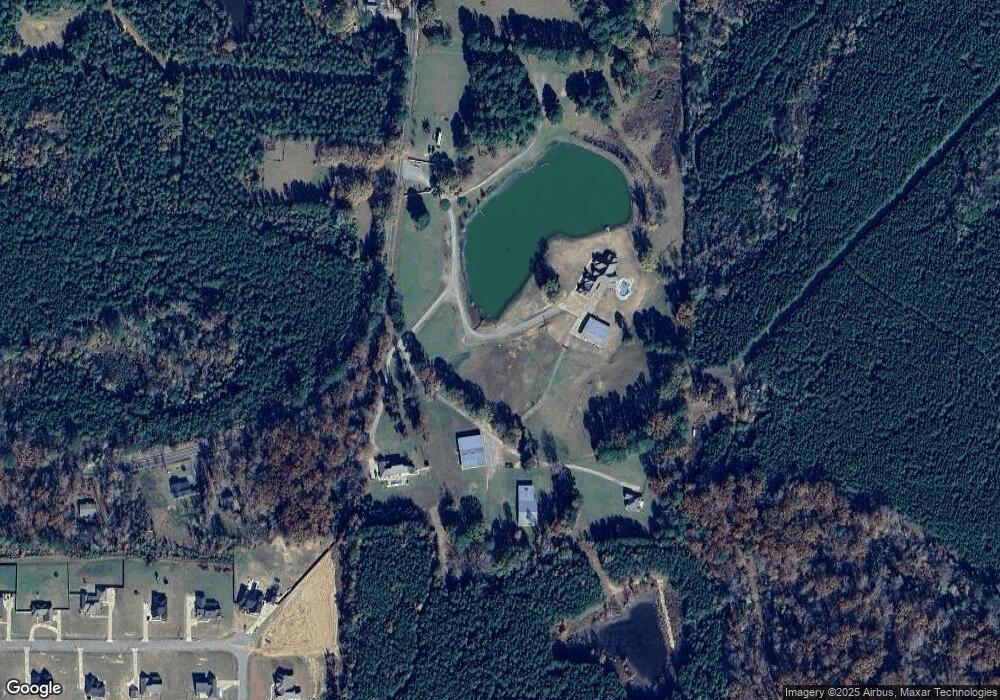
Map
Nearby Homes
- 282 Berry Rd
- 0 Hattaway Rd
- 312 Hattaway Rd
- 399 Britton Rd
- 1971 Golson Rd
- 327 Hedge Hill Cove
- Lot 11 Tara Rd
- 218 Chief Ln
- LOT 10 Tara Rd
- 000 Winged Foot Ct
- 235 Chief Ln
- 131 Simba Ln
- 194 Simba Ln
- 143 Simba Ln
- 1014 Highway 80 E
- 238 Puss Green Rd
- 136 Curry Creek Dr
- 333 Highway 151 S
- 0 Foster Rd
- 0 Louisiana 151
- 685 Golson Rd
- 759 Golson Rd
- 413 Pelican Grove Dr
- 409 Pelican Grove Dr
- 771 Golson Rd
- 415 Pelican Grove Dr
- 689 Golson Rd
- 646 Golson Rd
- 408 Pelican Grove Dr
- 405 Pelican Grove Dr
- 813 Golson Rd
- 406 Pelican Grove Dr
- 419 Pelican Grove Dr
- 403 Pelican Grove Dr
- 404 Pelican Grove Dr
- 426 Pelican Grove Dr
- 426 Pelican Grove Dr
- 421 Pelican Grove Dr
- 402 Pelican Grove Dr
- 113 Berry Rd
Your Personal Tour Guide
Ask me questions while you tour the home.