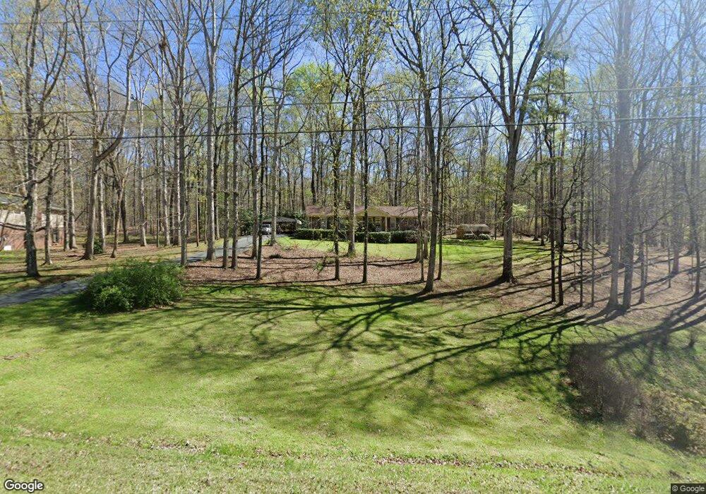
689 Newton Rd Lagrange, GA 30240
LaGrange AreaEstimated Value: $217,289 - $235,000
About This Home
This home is located at 689 Newton Rd, Lagrange, GA 30240 and is currently estimated at $227,322, approximately $156 per square foot. 689 Newton Rd is a home located in Troup County with nearby schools including Long Cane Elementary School, Berta Weathersbee Elementary School, and Whitesville Road Elementary School.
Ownership History
We collect this data history from publicly available records. To have your information removed, we recommend requesting removal directly through your county’s website.
Purchase Details
Purchase Details
Purchase Details
Purchase Details
Purchase Details
Purchase Details
Purchase History
We collect this data history from publicly available records. To have your information removed, we recommend requesting removal directly through your county’s website.
| Date | Buyer | Sale Price | Title Company |
|---|---|---|---|
| -- | -- | ||
| $39,000 | -- | ||
| -- | -- | ||
| -- | -- | ||
| -- | -- | ||
| -- | -- |
Tax History
We collect this data history from publicly available records. To have your information removed, we recommend requesting removal directly through your county’s website.
| Year | Tax Paid | Tax Assessment Tax Assessment Total Assessment is a certain percentage of the fair market value that is determined by local assessors to be the total taxable value of land and additions on the property. | Land | Improvement |
|---|---|---|---|---|
| 2025 | $1,793 | $71,656 | $10,000 | $61,656 |
| 2024 | $1,598 | $60,580 | $10,000 | $50,580 |
| 2023 | $947 | $54,600 | $10,000 | $44,600 |
| 2022 | $1,404 | $52,280 | $10,000 | $42,280 |
| 2021 | $1,366 | $47,280 | $8,000 | $39,280 |
| 2020 | $1,366 | $47,280 | $8,000 | $39,280 |
| 2019 | $1,303 | $45,200 | $8,000 | $37,200 |
| 2018 | $1,080 | $37,800 | $4,000 | $33,800 |
| 2017 | $1,080 | $37,800 | $4,000 | $33,800 |
| 2016 | $1,069 | $37,443 | $4,000 | $33,443 |
| 2015 | $1,041 | $36,422 | $4,000 | $32,422 |
| 2014 | $991 | $34,716 | $4,000 | $30,716 |
| 2013 | -- | $37,045 | $4,000 | $33,045 |
Map
- 779 Newton Rd
- 856 Newton Rd
- 552 Newton Rd
- 111 Timber Ridge Dr
- 101 Ivy Springs Dr
- 1358 Glass Bridge Rd
- 105 Plymouth Place
- 1054 Glass Bridge Rd
- 104 Hidden Springs Dr
- 110 Wilson Creek Dr
- 116 Wilson Creek Dr
- 122 Colonial Ct
- 106 Landings Way
- 6 Hastings Ct
- 101 Riverbluff Dr
- 82 Newton Rd
- 321 Woodfield Cir
- 115 Planters Ridge Dr
- 62 Maley Rd
- 109 Huntcliff Ct
Ask me questions while you tour the home.