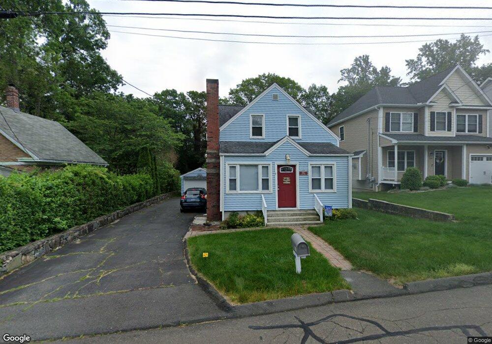
68A West St Shelton, CT 06484
Estimated Value: $469,068 - $541,000
3
Beds
2
Baths
1,552
Sq Ft
$326/Sq Ft
Est. Value
About This Home
This home is located at 68A West St, Shelton, CT 06484 and is currently estimated at $506,267, approximately $326 per square foot. 68A West St is a home located in Fairfield County with nearby schools including Perry Hill School, Elizabeth Shelton Elementary School, and Shelton Intermediate School.
Ownership History
Date
Name
Owned For
Owner Type
Purchase Details
Closed on
Aug 3, 2011
Sold by
Rubin Michael C
Bought by
Izzo James T
Current Estimated Value
Home Financials for this Owner
Home Financials are based on the most recent Mortgage that was taken out on this home.
Original Mortgage
$185,000
Outstanding Balance
$14,470
Interest Rate
3.69%
Estimated Equity
$491,797
Purchase Details
Closed on
Apr 28, 2006
Sold by
Haste James and Haste Kim
Bought by
Rubin Michael and Rubin Alison
Create a Home Valuation Report for This Property
The Home Valuation Report is an in-depth analysis detailing your home's value as well as a comparison with similar homes in the area
Home Values in the Area
Average Home Value in this Area
Purchase History
| Date | Buyer | Sale Price | Title Company |
|---|---|---|---|
| Izzo James T | $285,000 | -- | |
| Izzo James T | $285,000 | -- | |
| Rubin Michael | $330,000 | -- | |
| Rubin Michael | $330,000 | -- |
Source: Public Records
Mortgage History
| Date | Status | Borrower | Loan Amount |
|---|---|---|---|
| Open | Rubin Michael | $185,000 | |
| Closed | Rubin Michael | $185,000 |
Source: Public Records
Tax History
| Year | Tax Paid | Tax Assessment Tax Assessment Total Assessment is a certain percentage of the fair market value that is determined by local assessors to be the total taxable value of land and additions on the property. | Land | Improvement |
|---|---|---|---|---|
| 2025 | $4,376 | $232,540 | $88,340 | $144,200 |
| 2024 | $4,460 | $232,540 | $88,340 | $144,200 |
| 2023 | $4,062 | $232,540 | $88,340 | $144,200 |
| 2022 | $4,067 | $232,820 | $88,340 | $144,480 |
| 2021 | $3,507 | $159,180 | $56,560 | $102,620 |
| 2020 | $3,569 | $159,180 | $56,560 | $102,620 |
| 2019 | $3,569 | $159,180 | $56,560 | $102,620 |
| 2017 | $3,535 | $159,180 | $56,560 | $102,620 |
| 2015 | $3,531 | $158,270 | $50,820 | $107,450 |
| 2014 | $3,531 | $158,270 | $50,820 | $107,450 |
Source: Public Records
Map
Nearby Homes
- 93 Shelton Ave
- 57 Roberts St
- 51 Roberts St
- 0 Riverview Ave
- 706 Howe Ave Unit 708
- 37 Foley Ave
- 33 Kings Hwy
- 100 Ten Coat Ln Unit 3A
- 255 Canal St E
- 72 Perry Hill Rd
- 7 Liberty St
- 95 Park Ave
- 105 Camptown St
- 145 Canal St Unit 2
- 60 E St
- 88 Kings Hwy
- 121 Hawthorne Ave
- 61 8th St
- 15 Evelyn Rd
- 101 Hawkins St
Your Personal Tour Guide
Ask me questions while you tour the home.