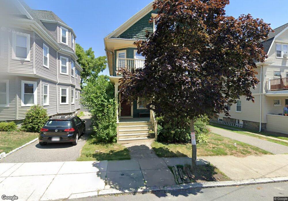
69 Bradfield Ave Unit 2 Roslindale, MA 02131
Roslindale NeighborhoodEstimated Value: $591,000 - $646,000
3
Beds
1
Bath
1,115
Sq Ft
$563/Sq Ft
Est. Value
About This Home
This home is located at 69 Bradfield Ave Unit 2, Roslindale, MA 02131 and is currently estimated at $627,894, approximately $563 per square foot. 69 Bradfield Ave Unit 2 is a home located in Suffolk County with nearby schools including Brooke Charter School Roslindale, Holy Name Parish School, and St. Clare High School.
Ownership History
Date
Name
Owned For
Owner Type
Purchase Details
Closed on
Jan 28, 2011
Sold by
Robinson Susan
Bought by
Boston City Of
Current Estimated Value
Purchase Details
Closed on
Jan 26, 2001
Sold by
Schill Paul and Schill Christine G
Bought by
Robinson Susan
Create a Home Valuation Report for This Property
The Home Valuation Report is an in-depth analysis detailing your home's value as well as a comparison with similar homes in the area
Home Values in the Area
Average Home Value in this Area
Purchase History
We collect this data history from publicly available records. To have your information removed, we recommend requesting removal directly through your county’s website.
| Date | Buyer | Sale Price | Title Company |
|---|---|---|---|
| Boston City Of | $958 | -- | |
| Robinson Susan | $235,000 | -- |
Source: Public Records
Tax History
| Year | Tax Paid | Tax Assessment Tax Assessment Total Assessment is a certain percentage of the fair market value that is determined by local assessors to be the total taxable value of land and additions on the property. | Land | Improvement |
|---|---|---|---|---|
| 2025 | $6,488 | $560,300 | $0 | $560,300 |
| 2024 | $5,338 | $489,700 | $0 | $489,700 |
| 2023 | $5,155 | $480,000 | $0 | $480,000 |
| 2022 | $4,883 | $448,800 | $0 | $448,800 |
| 2021 | $4,695 | $440,000 | $0 | $440,000 |
| 2020 | $4,073 | $385,700 | $0 | $385,700 |
| 2019 | $4,046 | $383,900 | $0 | $383,900 |
| 2018 | $3,667 | $349,900 | $0 | $349,900 |
| 2017 | $3,528 | $333,100 | $0 | $333,100 |
| 2016 | $3,362 | $305,600 | $0 | $305,600 |
| 2015 | $3,186 | $263,100 | $0 | $263,100 |
| 2014 | $3,033 | $241,100 | $0 | $241,100 |
Source: Public Records
Map
Nearby Homes
- 1487 Centre St Unit 2
- 38 Guernsey St Unit 1
- 24 Colbert St
- 46 Symmes St Unit 1
- 36 Orange St
- 15 Hillock St Unit 2
- 15 Haslet St Unit 3
- 18 Robert St Unit 14
- 1721 Centre St Unit 402
- 1721 Centre St Unit 304
- 46 Belgrade Ave Unit 2
- 73 Westbourne St
- 122 Aldrich St
- 16 Primrose St Unit 3
- 95 Orange St
- 390 Weld St Unit 2
- 11 Crehore Rd
- 16 Arborough Rd Unit 2
- 209 Beech St
- 20 Taft Hill Park Unit 5
- 67 Bradfield Ave
- 73 Bradfield Ave
- 73 Bradfield Ave Unit 1
- 65 Bradfield Ave
- 75 Bradfield Ave Unit 3
- 75 Bradfield Ave Unit 1
- 75 Bradfield Ave
- 75 Bradfield Ave Unit 2
- 90 Congreve St
- 86 Congreve St
- 86 Congreve St Unit 2
- 86 Congreve St Unit 1
- 63 Bradfield Ave
- 82 Congreve St
- 68 Bradfield Ave
- 66 Bradfield Ave
- 66 Bradfield Ave Unit 1
- 66 Bradfield Ave Unit 2
- 74 Bradfield Ave Unit 1
- 74 Bradfield Ave Unit 2
Your Personal Tour Guide
Ask me questions while you tour the home.