Estimated Value: $298,000 - $407,000
4
Beds
3
Baths
1,901
Sq Ft
$193/Sq Ft
Est. Value
About This Home
This home is located at 69 Broad St, Barre, MA 01005 and is currently estimated at $366,887, approximately $192 per square foot. 69 Broad St is a home located in Worcester County with nearby schools including Quabbin Regional Middle School and Quabbin Regional High School.
Ownership History
Date
Name
Owned For
Owner Type
Purchase Details
Closed on
Aug 22, 2018
Sold by
Nationstar Mortgage Ll
Bought by
Orne Keri A
Current Estimated Value
Purchase Details
Closed on
Jul 24, 2018
Sold by
Merle Michel D and Nationstar Mortgage Ll
Bought by
Nationstar Mortgage Ll
Purchase Details
Closed on
Sep 19, 1997
Sold by
Anderson Wayne A and Anderson Kate C
Bought by
Merle Michael D
Create a Home Valuation Report for This Property
The Home Valuation Report is an in-depth analysis detailing your home's value as well as a comparison with similar homes in the area
Home Values in the Area
Average Home Value in this Area
Purchase History
We collect this data history from publicly available records. To have your information removed, we recommend requesting removal directly through your county’s website.
| Date | Buyer | Sale Price | Title Company |
|---|---|---|---|
| Orne Keri A | $35,600 | -- | |
| Orne Keri A | $35,600 | -- | |
| Nationstar Mortgage Ll | $41,000 | -- | |
| Nationstar Mortgage Ll | $41,000 | -- | |
| Merle Michael D | $128,000 | -- | |
| Merle Michael D | $128,000 | -- |
Source: Public Records
Mortgage History
We collect this data history from publicly available records. To have your information removed, we recommend requesting removal directly through your county’s website.
| Date | Status | Borrower | Loan Amount |
|---|---|---|---|
| Previous Owner | Merle Michael D | $252,848 | |
| Previous Owner | Merle Michael D | $172,000 |
Source: Public Records
Tax History
| Year | Tax Paid | Tax Assessment Tax Assessment Total Assessment is a certain percentage of the fair market value that is determined by local assessors to be the total taxable value of land and additions on the property. | Land | Improvement |
|---|---|---|---|---|
| 2025 | $3,990 | $293,600 | $65,200 | $228,400 |
| 2024 | $3,933 | $281,300 | $62,300 | $219,000 |
| 2023 | $3,567 | $224,900 | $48,200 | $176,700 |
| 2022 | $3,425 | $203,400 | $42,500 | $160,900 |
| 2021 | $3,609 | $200,500 | $42,500 | $158,000 |
| 2020 | $3,511 | $196,500 | $42,500 | $154,000 |
| 2019 | $3,204 | $176,800 | $38,600 | $138,200 |
| 2018 | $3,298 | $175,400 | $38,600 | $136,800 |
| 2017 | $3,177 | $169,900 | $38,600 | $131,300 |
| 2016 | $2,935 | $164,900 | $35,000 | $129,900 |
| 2015 | $3,337 | $179,000 | $43,100 | $135,900 |
| 2014 | $2,910 | $181,200 | $51,500 | $129,700 |
Source: Public Records
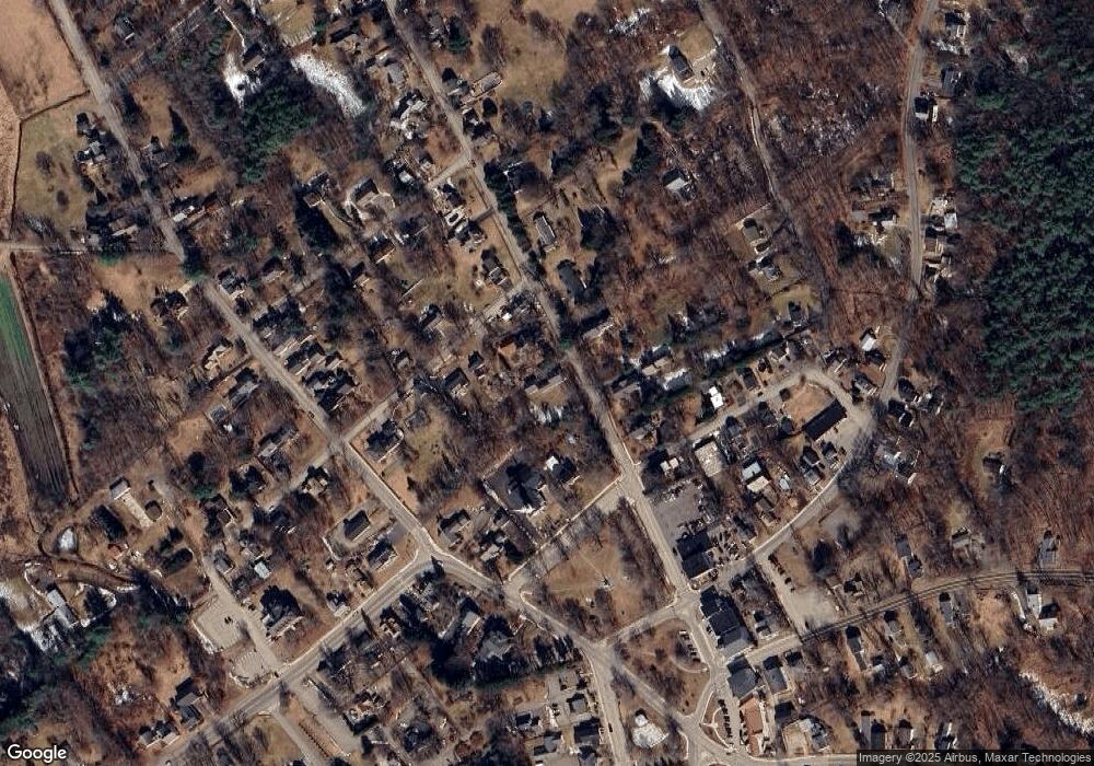
Map
Nearby Homes
- 0 Agnese Ct Unit 73478399
- 0 Glancy Rd
- 85 Valley Rd
- Lot 4 Murphy and Williamsville Roads
- Lot 3 Murphy Rd
- 223 S Barre Rd
- 148 Flaherty Rd
- 1215 South St
- 865 S Barre Rd
- 12-16 Church St
- 23 Trafalgar Square Unit 23
- 999 Sheldon Rd
- 20 Dana Rd
- 0 Station Rd
- 572 Wheelwright Rd
- 661 Wheelwright Rd
- 1082 Old Dana Rd
- 70 Skyline Dr
- 111 Hale Rd
- 1776 Old Turnpike Rd
Your Personal Tour Guide
Ask me questions while you tour the home.