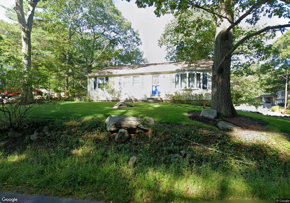
69 Hesperus Ave Gloucester, MA 01930
West Gloucester NeighborhoodEstimated Value: $602,000 - $791,000
3
Beds
2
Baths
1,501
Sq Ft
$468/Sq Ft
Est. Value
About This Home
This home is located at 69 Hesperus Ave, Gloucester, MA 01930 and is currently estimated at $702,652, approximately $468 per square foot. 69 Hesperus Ave is a home located in Essex County with nearby schools including West Parish, Ralph B O'maley Middle School, and Gloucester High School.
Ownership History
Date
Name
Owned For
Owner Type
Purchase Details
Closed on
Aug 26, 1994
Sold by
Norris George L and Virginia Norris M
Bought by
Fortado John P and Fortado Edith G
Current Estimated Value
Home Financials for this Owner
Home Financials are based on the most recent Mortgage that was taken out on this home.
Original Mortgage
$138,957
Interest Rate
8.65%
Mortgage Type
Purchase Money Mortgage
Create a Home Valuation Report for This Property
The Home Valuation Report is an in-depth analysis detailing your home's value as well as a comparison with similar homes in the area
Home Values in the Area
Average Home Value in this Area
Purchase History
| Date | Buyer | Sale Price | Title Company |
|---|---|---|---|
| Fortado John P | $142,000 | -- |
Source: Public Records
Mortgage History
| Date | Status | Borrower | Loan Amount |
|---|---|---|---|
| Open | Fortado John P | $180,000 | |
| Closed | Fortado John P | $80,000 | |
| Closed | Fortado John P | $170,000 | |
| Closed | Fortado John P | $138,957 |
Source: Public Records
Tax History
| Year | Tax Paid | Tax Assessment Tax Assessment Total Assessment is a certain percentage of the fair market value that is determined by local assessors to be the total taxable value of land and additions on the property. | Land | Improvement |
|---|---|---|---|---|
| 2025 | $5,666 | $582,900 | $245,800 | $337,100 |
| 2024 | $5,506 | $565,900 | $234,000 | $331,900 |
| 2023 | $5,520 | $521,200 | $209,000 | $312,200 |
| 2022 | $5,178 | $441,400 | $177,700 | $263,700 |
| 2021 | $5,191 | $417,300 | $161,500 | $255,800 |
| 2020 | $5,054 | $409,900 | $161,500 | $248,400 |
| 2019 | $5,028 | $396,200 | $161,500 | $234,700 |
| 2018 | $4,981 | $385,200 | $161,500 | $223,700 |
| 2017 | $4,850 | $367,700 | $153,800 | $213,900 |
| 2016 | $4,612 | $338,900 | $154,300 | $184,600 |
| 2015 | $4,550 | $333,300 | $154,300 | $179,000 |
Source: Public Records
Map
Nearby Homes
- 24 Flume Rd
- 2 Ocean Ave Unit 1M
- 2 Ocean Ave Unit 2K
- 53 Raymond St
- 100 Eastern Point Blvd
- 5 Marshfield St
- 18 Lyndale Ave
- 5 Lepage Ln
- 24 Cobblestone Ln Unit 603
- 145 Essex Ave Unit 512
- 145 Essex Ave Unit 402
- 13 Leslie o Johnson Rd
- 15 Raven Ln Unit 15
- 468 Summer St
- 5 Samoset Rd Unit B
- 1 Wonson St
- 33 Middle St
- 20 Beacon St
- 20 Beacon St Unit 2
- 20 Beacon St Unit 1
- 71 Hesperus Ave
- 71 Hesperus Ave Unit 1
- 4 Castle Hill Rd
- 67 Hesperus Ave
- 6 Castle Hill Rd
- 73 Hesperus Ave
- 65 Hesperus Ave
- 3 Castle Hill Rd
- 9 Castle Hill Rd
- 8 Castle Hill Rd
- 75 Hesperus Ave
- 5 Castle Hill Rd
- 63 Hesperus Ave
- 1 Tower Rd
- 7 Castle Hill Rd
- 66 Hesperus Ave
- 77 Hesperus Ave
- 3 Tower Rd
- 10 Castle Hill Rd
- 61 Hesperus Ave
Your Personal Tour Guide
Ask me questions while you tour the home.