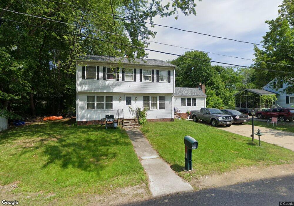
69 Melrose Ave Lowell, MA 01854
Pawtucketville NeighborhoodEstimated Value: $399,000 - $526,000
4
Beds
2
Baths
1,950
Sq Ft
$249/Sq Ft
Est. Value
About This Home
This home is located at 69 Melrose Ave, Lowell, MA 01854 and is currently estimated at $485,294, approximately $248 per square foot. 69 Melrose Ave is a home located in Middlesex County with nearby schools including Joseph McAvinnue Elementary School, Charles W. Morey Elementary School, and Dr. Gertrude Bailey Elementary School.
Ownership History
Date
Name
Owned For
Owner Type
Purchase Details
Closed on
Jul 25, 2001
Sold by
Ryan Thomas F and Ryan Patricia A
Bought by
Ryan Sean M and Ryan Christine C
Current Estimated Value
Home Financials for this Owner
Home Financials are based on the most recent Mortgage that was taken out on this home.
Original Mortgage
$137,000
Interest Rate
7.18%
Mortgage Type
Purchase Money Mortgage
Create a Home Valuation Report for This Property
The Home Valuation Report is an in-depth analysis detailing your home's value as well as a comparison with similar homes in the area
Home Values in the Area
Average Home Value in this Area
Purchase History
| Date | Buyer | Sale Price | Title Company |
|---|---|---|---|
| Ryan Sean M | $172,000 | -- | |
| Ryan Sean M | $172,000 | -- |
Source: Public Records
Mortgage History
| Date | Status | Borrower | Loan Amount |
|---|---|---|---|
| Open | Ryan Sean M | $168,000 | |
| Closed | Ryan Sean M | $137,000 | |
| Previous Owner | Ryan Sean M | $30,000 |
Source: Public Records
Tax History
| Year | Tax Paid | Tax Assessment Tax Assessment Total Assessment is a certain percentage of the fair market value that is determined by local assessors to be the total taxable value of land and additions on the property. | Land | Improvement |
|---|---|---|---|---|
| 2025 | $4,880 | $425,100 | $163,200 | $261,900 |
| 2024 | $4,940 | $414,800 | $152,500 | $262,300 |
| 2023 | $4,805 | $386,900 | $132,600 | $254,300 |
| 2022 | $4,198 | $330,800 | $104,500 | $226,300 |
| 2021 | $3,928 | $291,800 | $90,900 | $200,900 |
| 2020 | $3,786 | $283,400 | $90,900 | $192,500 |
| 2019 | $3,760 | $267,800 | $81,600 | $186,200 |
| 2018 | $3,737 | $259,700 | $77,800 | $181,900 |
| 2017 | $3,605 | $241,600 | $73,000 | $168,600 |
| 2016 | $3,554 | $234,400 | $69,500 | $164,900 |
| 2015 | $3,347 | $216,200 | $68,100 | $148,100 |
| 2013 | $3,323 | $221,400 | $78,800 | $142,600 |
Source: Public Records
Map
Nearby Homes
- 54 Shirley Ave
- 527 Pawtucket Blvd Unit 207
- 351 Pawtucket Blvd Unit 3
- 351 Pawtucket Blvd Unit 29
- 339 Pawtucket Blvd Unit 19
- 92 Ursula St
- 307 Pawtucket Blvd Unit 24
- 17 Elizia Cir
- 295 Pawtucket Blvd Unit 7
- 15 Barbara St
- 14 New Caster Dr
- 1975 Middlesex St Unit 2
- 1975 Middlesex St Unit 10
- 4 Tamarack St
- 616 Princeton Blvd Unit 25
- 248 Acropolis Rd
- 24 Brouilette St Unit A
- 20 Sandy Ln
- 2 Walter G Wiede St Unit 1
- 1311 Middlesex St
- 59 Melrose Ave
- 78 Lexington Ave
- 60 Melrose Ave
- 53 Melrose Ave
- 53 Melrose Ave Unit 2
- 48 Melrose Ave
- 46 Lexington Ave
- 50 Melrose Ave
- LOT 3 Delaware Ave
- LOT 1 Eljer Dr
- LOT 5 Carriage Crossing
- 65 Shirley Ave
- 57 Shirley Ave
- 51 Shirley Ave
- 42 Melrose Ave
- 44 Malden Ave
- 40 Lexington Ave
- 77 Lexington Ave
- 47 Shirley Ave
- 33 Melrose Ave
Your Personal Tour Guide
Ask me questions while you tour the home.