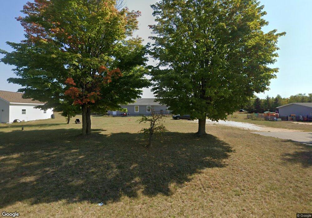
69 Poplar Rd Pellston, MI 49769
Estimated Value: $234,000 - $342,000
Studio
--
Bath
--
Sq Ft
28,140
Sq Ft Lot
About This Home
This home is located at 69 Poplar Rd, Pellston, MI 49769 and is currently estimated at $291,040. 69 Poplar Rd is a home located in Emmet County with nearby schools including Pellston Elementary School and Pellston Middle/High School.
Ownership History
Date
Name
Owned For
Owner Type
Purchase Details
Closed on
Aug 2, 2004
Sold by
Gwilt David and Gwilt Kerri
Bought by
Newville Bruce M and Newville Mary T
Current Estimated Value
Purchase Details
Closed on
May 1, 1986
Bought by
Gwilt +1000P Rps
Purchase Details
Closed on
Nov 1, 1982
Bought by
West
Purchase Details
Closed on
Dec 1, 1981
Sold by
Dnr 206
Bought by
Grigsby
Purchase Details
Closed on
Oct 1, 1981
Bought by
Usa Fha
Purchase Details
Closed on
Dec 1, 1979
Bought by
Ryan
Create a Home Valuation Report for This Property
The Home Valuation Report is an in-depth analysis detailing your home's value as well as a comparison with similar homes in the area
Purchase History
| Date | Buyer | Sale Price | Title Company |
|---|---|---|---|
| Newville Bruce M | $147,000 | -- | |
| Gwilt +1000P Rps | $38,500 | -- | |
| West | $25,000 | -- | |
| Grigsby | -- | -- | |
| Usa Fha | -- | -- | |
| Ryan | -- | -- |
Source: Public Records
Tax History
| Year | Tax Paid | Tax Assessment Tax Assessment Total Assessment is a certain percentage of the fair market value that is determined by local assessors to be the total taxable value of land and additions on the property. | Land | Improvement |
|---|---|---|---|---|
| 2025 | $2,370 | $151,500 | $151,500 | $0 |
| 2024 | $32 | $126,600 | $126,600 | $0 |
| 2023 | $2,209 | $119,700 | $119,700 | $0 |
| 2022 | $2,209 | $94,400 | $94,400 | $0 |
| 2021 | $2,295 | $71,900 | $71,900 | $0 |
| 2020 | $2,306 | $72,600 | $72,600 | $0 |
| 2019 | -- | $71,700 | $71,700 | $0 |
| 2018 | -- | $50,800 | $50,800 | $0 |
| 2017 | -- | $51,300 | $51,300 | $0 |
| 2016 | -- | $51,500 | $51,500 | $0 |
| 2015 | -- | $51,000 | $0 | $0 |
| 2014 | -- | $50,700 | $0 | $0 |
Source: Public Records
Map
Nearby Homes
- 6809 Tremble Trail
- 6421 Airport Crossing Rd Unit 1
- 8959 Robinson Rd
- TBD Teal Rd
- TBD Hardwood Rd
- 4333 U S 31
- 3954 Valley Rd
- 10826 Chickagami Trail
- 10999 Koepke Rd
- 6213 Maple St
- 10222 W Munro Lake Dr
- 1830 Indian Point Rd
- 6167 Lambert Dr
- 3840 E Levering Rd
- 6737 Honeysette Rd
- 1442 Indian Point Rd
- 5441 Valley Rd
- 7181 Maple St
- 7325 Keystone Park Dr Unit 18
- 393 Beaux Rivages Dr
Your Personal Tour Guide
Ask me questions while you tour the home.