69 Streeter Rd Strong, ME 04983
Estimated Value: $114,284 - $232,000
Studio
--
Bath
608
Sq Ft
$262/Sq Ft
Est. Value
About This Home
This home is located at 69 Streeter Rd, Strong, ME 04983 and is currently estimated at $159,321, approximately $262 per square foot. 69 Streeter Rd is a home with nearby schools including Mt. Abram Regional High School.
Ownership History
Date
Name
Owned For
Owner Type
Purchase Details
Closed on
Aug 14, 2023
Sold by
Lander Bonnie B
Bought by
Trask Donna M
Current Estimated Value
Purchase Details
Closed on
Nov 1, 2005
Sold by
Ellis Jamie T
Bought by
Lander Bonnie B
Home Financials for this Owner
Home Financials are based on the most recent Mortgage that was taken out on this home.
Original Mortgage
$41,600
Interest Rate
5.79%
Mortgage Type
Commercial
Create a Home Valuation Report for This Property
The Home Valuation Report is an in-depth analysis detailing your home's value as well as a comparison with similar homes in the area
Purchase History
| Date | Buyer | Sale Price | Title Company |
|---|---|---|---|
| Trask Donna M | -- | None Available | |
| Lander Bonnie B | -- | -- |
Source: Public Records
Mortgage History
| Date | Status | Borrower | Loan Amount |
|---|---|---|---|
| Previous Owner | Lander Bonnie B | $41,600 |
Source: Public Records
Tax History
| Year | Tax Paid | Tax Assessment Tax Assessment Total Assessment is a certain percentage of the fair market value that is determined by local assessors to be the total taxable value of land and additions on the property. | Land | Improvement |
|---|---|---|---|---|
| 2025 | $1,252 | $65,560 | $31,680 | $33,880 |
| 2024 | $1,154 | $65,560 | $31,680 | $33,880 |
| 2023 | $1,049 | $65,560 | $31,680 | $33,880 |
| 2022 | $1,036 | $65,560 | $31,680 | $33,880 |
| 2021 | $1,082 | $65,560 | $31,680 | $33,880 |
| 2020 | $1,121 | $65,560 | $31,680 | $33,880 |
| 2019 | $1,167 | $65,560 | $31,680 | $33,880 |
| 2018 | $1,016 | $65,560 | $31,680 | $33,880 |
| 2017 | $944 | $65,560 | $31,680 | $33,880 |
| 2016 | $931 | $65,560 | $31,680 | $33,880 |
| 2015 | $964 | $65,560 | $31,680 | $33,880 |
| 2013 | $839 | $65,560 | $31,680 | $33,880 |
Source: Public Records
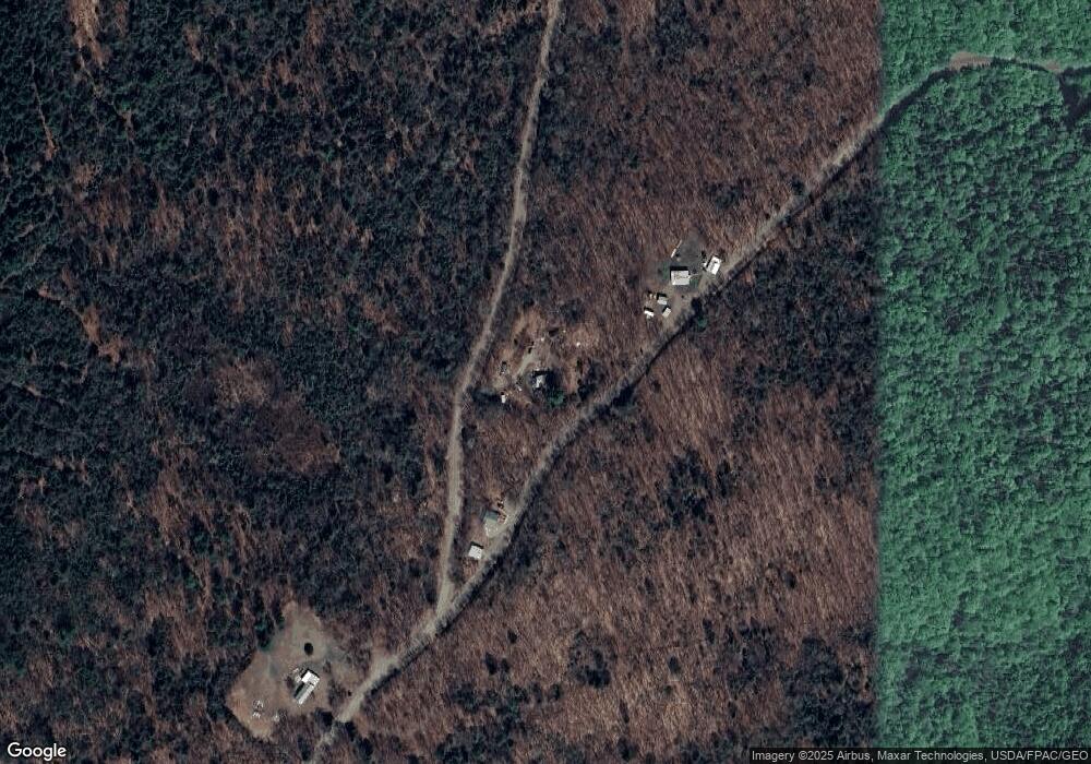
Map
Nearby Homes
- 468 New Vineyard Rd
- 722 Farmington Rd
- Lot 12 Barker Rd
- Lot 14D-2 Music Rd
- 06 Holley Rd
- MU23 L19B Holley Rd
- Lot 006 Ramsdell Rd
- 449 Holley Rd
- 111 Pine Tree Ln
- 163 Brier Ln
- 579 Federal Row
- Lot 10C Staples Pond Rd
- R6L38B New Vineyard Rd
- 149 Day Mountain Rd
- 264 Day Mountain Rd
- R-5 13-A Norton Hill Rd
- 004 Titcomb Hill Rd
- 688 Industry Rd
- 463 Clover Mill Rd
- 29 River St
- 42 Fredericks Rd
- 12 Fredericks Rd
- 32 Streeter Rd
- 6 Dodge Corner Rd
- 1134 S Strong Rd
- 1042 S Strong Rd
- 5 Dodge Corner Rd
- 1068 S Strong Rd
- 1054 Rt4 Strong Rd
- 1156 S Strong Rd
- 19 Dodge Corner Rd
- 185 Old Strong Rd
- 1222 E Strong Rd
- 1000 E Strong Rd
- 1023 S Strong Rd
- 1021 S Strong Rd
- 581 S Strong Rd
- 968 S Strong Rd
- 951 S Strong Rd
- 529 S Strong Rd
Your Personal Tour Guide
Ask me questions while you tour the home.