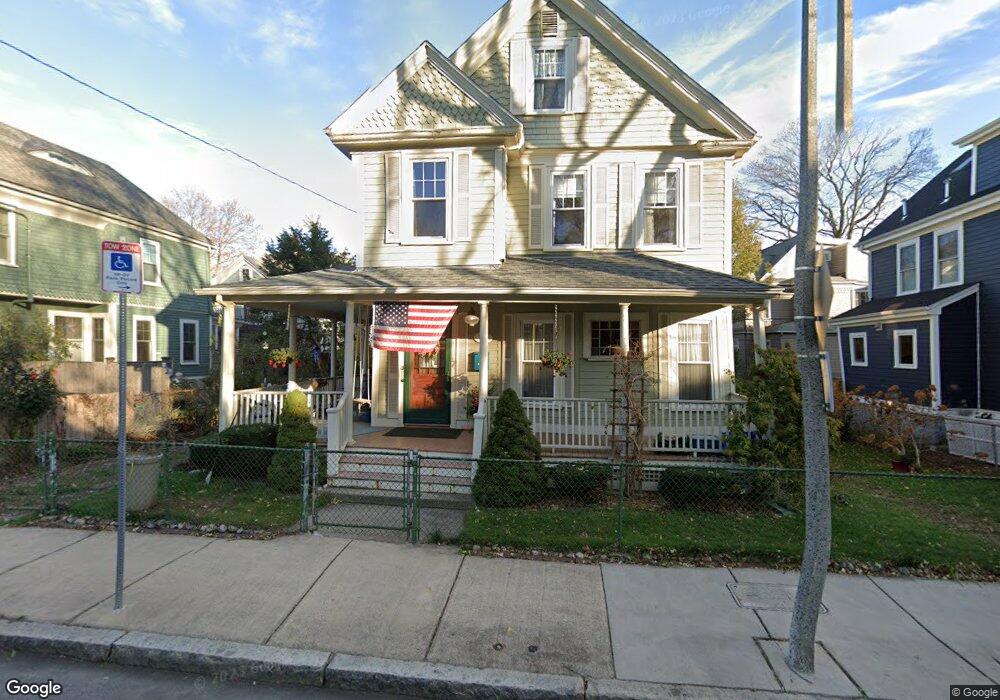
69 Tuttle St Dorchester, MA 02125
Savin Hill NeighborhoodEstimated Value: $863,000 - $976,000
3
Beds
1
Bath
1,756
Sq Ft
$512/Sq Ft
Est. Value
About This Home
This home is located at 69 Tuttle St, Dorchester, MA 02125 and is currently estimated at $899,666, approximately $512 per square foot. 69 Tuttle St is a home located in Suffolk County with nearby schools including Boston Collegiate Charter School, Helen Y. Davis Leadership Academy Charter Public School, and Pope John Paul II Catholic Academy Columbia Campus.
Ownership History
Date
Name
Owned For
Owner Type
Purchase Details
Closed on
Mar 22, 2019
Sold by
Mcdermott John S and Mcdermott Christine A
Bought by
Mcdermott Christine A
Current Estimated Value
Create a Home Valuation Report for This Property
The Home Valuation Report is an in-depth analysis detailing your home's value as well as a comparison with similar homes in the area
Home Values in the Area
Average Home Value in this Area
Purchase History
| Date | Buyer | Sale Price | Title Company |
|---|---|---|---|
| Mcdermott Christine A | -- | -- |
Source: Public Records
Tax History
| Year | Tax Paid | Tax Assessment Tax Assessment Total Assessment is a certain percentage of the fair market value that is determined by local assessors to be the total taxable value of land and additions on the property. | Land | Improvement |
|---|---|---|---|---|
| 2025 | $8,436 | $728,500 | $261,900 | $466,600 |
| 2024 | $7,685 | $705,000 | $230,800 | $474,200 |
| 2023 | $7,011 | $652,800 | $213,700 | $439,100 |
| 2022 | $7,102 | $652,800 | $213,700 | $439,100 |
| 2021 | $6,516 | $610,700 | $203,500 | $407,200 |
| 2020 | $5,820 | $551,100 | $211,400 | $339,700 |
| 2019 | $5,427 | $514,900 | $152,500 | $362,400 |
| 2018 | $4,905 | $468,000 | $152,500 | $315,500 |
| 2017 | $4,505 | $425,400 | $152,500 | $272,900 |
| 2016 | $4,374 | $397,600 | $152,500 | $245,100 |
| 2015 | $3,956 | $326,700 | $120,700 | $206,000 |
| 2014 | $3,663 | $291,200 | $120,700 | $170,500 |
Source: Public Records
Map
Nearby Homes
- 46 Saxton St
- 71 Romsey St Unit 1
- 4 Saxton St
- 365 Savin Hill Ave Unit 2
- 9 Sydney St Unit 2
- 5 Linda Ln Unit 3-4
- 186 Sydney St Unit 3
- 14 Harbor View St Unit 1
- 16 Harbor View St Unit 2
- 8 Taft St Unit 1
- 11 Savin Hill Ave
- 8 Spring Garden St Unit 3
- 3 Spring Garden St Unit 1
- 79 Pleasant St
- 55 Alpine Way Unit 2
- 12 Sawyer Ave
- 113 Pleasant St Unit 6
- 25 Pleasant St
- 142 Pleasant St
- 18 Peverell St
- 65 Tuttle St
- 75 Tuttle St
- 75 Tuttle St Unit 75
- 75 Tuttle St Unit 1
- 78 Sydney St
- 82 Sydney St
- 82 Sydney St Unit 1
- 74 Sydney St
- 74 Sydney St
- 74 Sydney St Unit 2
- 74 Sydney St Unit 1
- 70 Tuttle St
- 59 Tuttle St Unit 61
- 66 Tuttle St
- 72 Tuttle St Unit 2
- 72 Tuttle St Unit 1
- 81 Tuttle St
- 66 Sydney St
- 76 Tuttle St Unit 78
- 76-78 Tuttle St
Your Personal Tour Guide
Ask me questions while you tour the home.