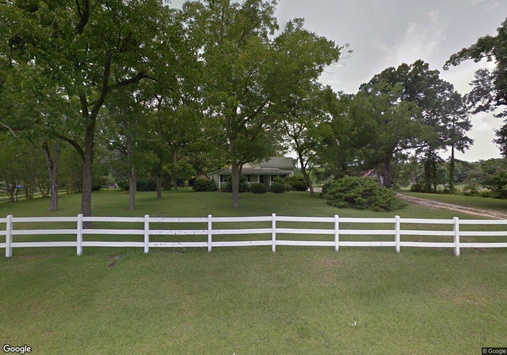
690 Byrd Rd Bunnlevel, NC 28323
Estimated Value: $176,000 - $218,000
About This Home
This home is located at 690 Byrd Rd, Bunnlevel, NC 28323 and is currently estimated at $200,461, approximately $108 per square foot. 690 Byrd Rd is a home located in Harnett County with nearby schools including Lillington-Shawtown Elementary School, Harnett Central Middle School, and Harnett Central High School.
Ownership History
We collect this data history from publicly available records. To have your information removed, we recommend requesting removal directly through your county’s website.
Purchase Details
Home Financials for this Owner
Home Financials are based on the most recent Mortgage that was taken out on this home.Purchase Details
Home Values in the Area
Average Home Value in this Area
Purchase History
We collect this data history from publicly available records. To have your information removed, we recommend requesting removal directly through your county’s website.
| Date | Buyer | Sale Price | Title Company |
|---|---|---|---|
| $70,000 | None Available | ||
| $50,000 | -- |
Mortgage History
We collect this data history from publicly available records. To have your information removed, we recommend requesting removal directly through your county’s website.
| Date | Status | Borrower | Loan Amount |
|---|---|---|---|
| Open | $70,000 |
Tax History
We collect this data history from publicly available records. To have your information removed, we recommend requesting removal directly through your county’s website.
| Year | Tax Paid | Tax Assessment Tax Assessment Total Assessment is a certain percentage of the fair market value that is determined by local assessors to be the total taxable value of land and additions on the property. | Land | Improvement |
|---|---|---|---|---|
| 2025 | $904 | $115,239 | $0 | $0 |
| 2024 | $904 | $115,239 | $0 | $0 |
| 2023 | $904 | $115,239 | $0 | $0 |
| 2022 | $1,021 | $115,239 | $0 | $0 |
| 2021 | $1,021 | $107,610 | $0 | $0 |
| 2020 | $1,021 | $107,610 | $0 | $0 |
| 2019 | $1,006 | $107,610 | $0 | $0 |
| 2018 | $1,006 | $107,610 | $0 | $0 |
| 2017 | $1,006 | $107,610 | $0 | $0 |
| 2016 | $1,101 | $118,510 | $0 | $0 |
| 2015 | $1,101 | $118,510 | $0 | $0 |
| 2014 | $1,101 | $118,510 | $0 | $0 |
Map
- 1170 McNeill Hobbs Rd
- 6200 U S 401
- 127 Ambrosia (Lot 8) Way
- 207 Ambrosia Way Unit Lot 13
- 880 Wire Rd
- 84 Way
- 128 Ambrosia Way Unit (Lot 21)
- 127 Ambrosia Way
- 114 Ambrosia Way Unit Lot 20
- 111 Ambrosia (Lot 7) Way
- 68 Way
- 111 Ambrosia Way
- 65 Ambrosia (Lot 4) Way
- 84 Ambrosia Way
- 79 Ambrosia Way Unit Lot 5
- 68 Ambrosia Way
- 65 Ambrosia Way
- 52 Ambrosia Way Unit Lot 16
- 51 Ambrosia (Lot 3) Way
- 51 Ambrosia Way
- 637 Byrd Rd
- 798 Byrd Rd
- 585 Byrd Rd
- 546 Byrd Rd
- 496 Byrd Rd
- 3791 McNeill Hobbs Rd
- 824 Byrd Rd
- 462 Byrd Rd
- 3910 McNeill Hobbs Rd
- 3792 McNeill Hobbs Rd
- 102 Sanderfer Rd
- 0 H and L Dr Unit 1972713
- 0 H and L Dr Unit 1827158
- 0 H and L Dr Unit TR1996415
- 0 H and L Dr Unit TR2045979
- 0 H and L Dr Unit 6 1827158
- 0 H and L Dr Unit 6 1972713
- 0 H and L Dr
- 0 H&l Dr Unit 381671
- 0 H&l Dr Unit 549284
Ask me questions while you tour the home.