690 Fort Rd La Pointe, WI 54850
Estimated Value: $273,000 - $558,000
Studio
--
Bath
--
Sq Ft
34,848
Sq Ft Lot
About This Home
This home is located at 690 Fort Rd, La Pointe, WI 54850 and is currently estimated at $401,379. 690 Fort Rd is a home located in Ashland County with nearby schools including Bayfield High School.
Ownership History
Date
Name
Owned For
Owner Type
Purchase Details
Closed on
Nov 4, 2013
Sold by
Kale Edward W
Bought by
Apostle Island Kayaks Llc
Current Estimated Value
Purchase Details
Closed on
Oct 9, 2013
Sold by
Kale Edward W
Bought by
Apostle Island Kayaks Llc
Purchase Details
Closed on
Jun 21, 2005
Sold by
The Michael And Amy Arnao Revocable Trus
Bought by
Kale Edward W
Home Financials for this Owner
Home Financials are based on the most recent Mortgage that was taken out on this home.
Original Mortgage
$328,000
Interest Rate
5.75%
Mortgage Type
Purchase Money Mortgage
Create a Home Valuation Report for This Property
The Home Valuation Report is an in-depth analysis detailing your home's value as well as a comparison with similar homes in the area
Purchase History
| Date | Buyer | Sale Price | Title Company |
|---|---|---|---|
| Apostle Island Kayaks Llc | $279,900 | -- | |
| Apostle Island Kayaks Llc | -- | None Available | |
| Kale Edward W | -- | None Available |
Source: Public Records
Mortgage History
| Date | Status | Borrower | Loan Amount |
|---|---|---|---|
| Previous Owner | Kale Edward W | $328,000 |
Source: Public Records
Tax History
| Year | Tax Paid | Tax Assessment Tax Assessment Total Assessment is a certain percentage of the fair market value that is determined by local assessors to be the total taxable value of land and additions on the property. | Land | Improvement |
|---|---|---|---|---|
| 2025 | -- | $0 | $0 | $0 |
| 2024 | $7,183 | $348,900 | $150,000 | $198,900 |
| 2023 | $5,654 | $236,400 | $39,300 | $197,100 |
| 2022 | $5,235 | $236,400 | $39,300 | $197,100 |
| 2021 | $5,209 | $236,400 | $39,300 | $197,100 |
| 2020 | $5,144 | $236,400 | $39,300 | $197,100 |
| 2019 | $4,851 | $236,400 | $39,300 | $197,100 |
| 2018 | $4,581 | $236,400 | $39,300 | $197,100 |
| 2017 | $5,558 | $236,400 | $39,300 | $197,100 |
| 2016 | $4,550 | $236,400 | $39,300 | $197,100 |
| 2015 | $4,972 | $236,400 | $39,300 | $197,100 |
| 2014 | $4,198 | $238,500 | $41,400 | $197,100 |
| 2013 | $4,358 | $238,500 | $41,400 | $197,100 |
Source: Public Records
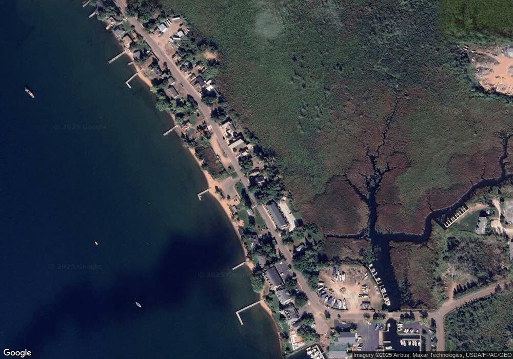
Map
Nearby Homes
- Lot 1, Block 1 Raspberry Trail
- Lot 3, Block 1 Raspberry Trail
- Lot 5 Raspberry Trail
- Lot 6, Block 1 Raspberry Trail
- Lot 2, Block 2 Raspberry Trail
- 365 Mondamin Tr
- 804 Middle Rd
- 1161 Middle Rd
- 1117 S Shore Rd
- XXX Old San Rd Unit 12
- XXX Old San Rd Unit 11
- XXX Old San Rd Unit TBD-Farmhouse
- XXX Old San Rd Unit TBD- Woodland
- XXX Old San Rd Unit 16
- XXX Old San Rd Unit TBD-Field Pair
- Lots 1-5 Wilson Ave
- 107 S 4th St
- 33 S 4th St
- 83XXX State Highway 13
- 83XX State Highway 13
Your Personal Tour Guide
Ask me questions while you tour the home.