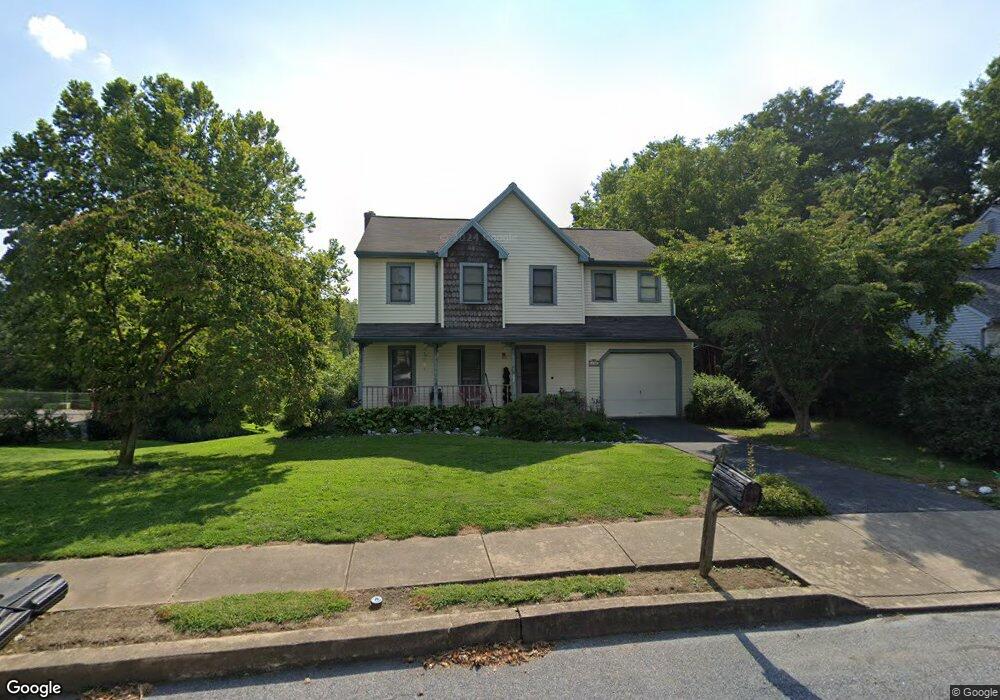
690 N Pier Dr Lancaster, PA 17603
Meadia Heights NeighborhoodEstimated Value: $372,000 - $430,000
About This Home
This home is located at 690 N Pier Dr, Lancaster, PA 17603 and is currently estimated at $409,537, approximately $257 per square foot. 690 N Pier Dr is a home located in Lancaster County with nearby schools including Elizabeth R Martin Elementary School, Wheatland Middle School, and McCaskey High School.
Ownership History
We collect this data history from publicly available records. To have your information removed, we recommend requesting removal directly through your county’s website.
Purchase Details
Purchase Details
Home Financials for this Owner
Home Financials are based on the most recent Mortgage that was taken out on this home.Home Values in the Area
Average Home Value in this Area
Purchase History
We collect this data history from publicly available records. To have your information removed, we recommend requesting removal directly through your county’s website.
| Date | Buyer | Sale Price | Title Company |
|---|---|---|---|
| -- | -- | ||
| $134,000 | -- |
Mortgage History
We collect this data history from publicly available records. To have your information removed, we recommend requesting removal directly through your county’s website.
| Date | Status | Borrower | Loan Amount |
|---|---|---|---|
| Open | $60,000 | ||
| Open | $208,000 | ||
| Closed | $202,063 | ||
| Closed | $203,245 | ||
| Closed | $38,800 | ||
| Closed | $166,600 | ||
| Closed | $165,800 | ||
| Closed | $30,000 | ||
| Closed | $184,000 | ||
| Closed | $127,300 |
Tax History
We collect this data history from publicly available records. To have your information removed, we recommend requesting removal directly through your county’s website.
| Year | Tax Paid | Tax Assessment Tax Assessment Total Assessment is a certain percentage of the fair market value that is determined by local assessors to be the total taxable value of land and additions on the property. | Land | Improvement |
|---|---|---|---|---|
| 2026 | $5,878 | $200,900 | $64,200 | $136,700 |
| 2025 | $5,794 | $200,900 | $64,200 | $136,700 |
| 2024 | $5,794 | $200,900 | $64,200 | $136,700 |
| 2023 | $5,660 | $200,900 | $64,200 | $136,700 |
| 2022 | $5,323 | $200,900 | $64,200 | $136,700 |
| 2021 | $5,162 | $200,900 | $64,200 | $136,700 |
| 2020 | $5,162 | $200,900 | $64,200 | $136,700 |
| 2019 | $5,052 | $200,900 | $64,200 | $136,700 |
| 2018 | $3,848 | $200,900 | $64,200 | $136,700 |
| 2017 | $4,933 | $150,900 | $37,700 | $113,200 |
| 2016 | $4,843 | $150,900 | $37,700 | $113,200 |
| 2015 | $654 | $150,900 | $37,700 | $113,200 |
| 2014 | $3,599 | $150,900 | $37,700 | $113,200 |
Map
- 645 N Pier Dr
- 1733 Wilderness Rd
- 690 N Field Dr
- 1865 Wilderness Rd
- 219 Pilgrim Dr
- 229 Pilgrim Dr
- 227 Pilgrim Dr
- 225 Pilgrim Dr
- 231 Pilgrim Dr
- 233 Pilgrim Dr
- 401 Rabbit Hill Ln
- 187 Waypoint Dr
- 232 Pilgrim Dr
- 234 Pilgrim Dr
- 236 Pilgrim Dr
- 125 Hillard Field
- 131 Hillard Field
- 127 Hillard Field
- 256 Pilgrim Dr
- 129 Hillard Field
Ask me questions while you tour the home.