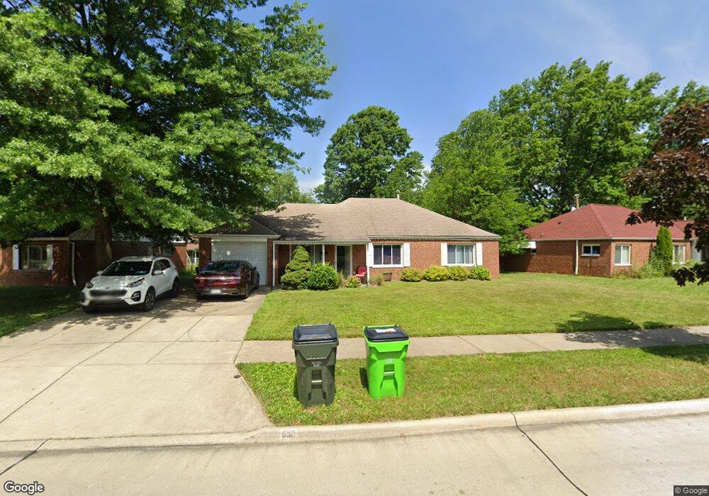
690 Walnut Dr Euclid, OH 44132
Estimated Value: $185,000 - $217,000
About This Home
This home is located at 690 Walnut Dr, Euclid, OH 44132 and is currently estimated at $197,403, approximately $111 per square foot. 690 Walnut Dr is a home located in Cuyahoga County with nearby schools including Shoreview Elementary School, Euclid High School, and Mater Dei Academy.
Ownership History
We collect this data history from publicly available records. To have your information removed, we recommend requesting removal directly through your county’s website.
Purchase Details
Home Financials for this Owner
Home Financials are based on the most recent Mortgage that was taken out on this home.Purchase Details
Purchase Details
Home Financials for this Owner
Home Financials are based on the most recent Mortgage that was taken out on this home.Purchase Details
Home Financials for this Owner
Home Financials are based on the most recent Mortgage that was taken out on this home.Purchase Details
Purchase Details
Home Values in the Area
Average Home Value in this Area
Purchase History
We collect this data history from publicly available records. To have your information removed, we recommend requesting removal directly through your county’s website.
| Date | Buyer | Sale Price | Title Company |
|---|---|---|---|
| $119,000 | Phoenix Title | ||
| $74,667 | Ohio Title Corp | ||
| $118,700 | Blvd Title | ||
| $114,900 | -- | ||
| $62,000 | -- | ||
| -- | -- |
Mortgage History
We collect this data history from publicly available records. To have your information removed, we recommend requesting removal directly through your county’s website.
| Date | Status | Borrower | Loan Amount |
|---|---|---|---|
| Open | $95,200 | ||
| Previous Owner | $94,960 | ||
| Previous Owner | $60,000 |
Tax History
We collect this data history from publicly available records. To have your information removed, we recommend requesting removal directly through your county’s website.
| Year | Tax Paid | Tax Assessment Tax Assessment Total Assessment is a certain percentage of the fair market value that is determined by local assessors to be the total taxable value of land and additions on the property. | Land | Improvement |
|---|---|---|---|---|
| 2025 | $4,042 | $60,130 | $10,640 | $49,490 |
| 2024 | $4,179 | $60,130 | $10,640 | $49,490 |
| 2023 | $4,053 | $46,620 | $9,380 | $37,240 |
| 2022 | $3,962 | $46,620 | $9,380 | $37,240 |
| 2021 | $4,417 | $46,620 | $9,380 | $37,240 |
| 2020 | $3,702 | $35,320 | $7,110 | $28,210 |
| 2019 | $3,339 | $100,900 | $20,300 | $80,600 |
| 2018 | $3,339 | $35,320 | $7,110 | $28,210 |
| 2017 | $3,582 | $31,330 | $5,710 | $25,620 |
| 2016 | $3,590 | $31,330 | $5,710 | $25,620 |
| 2015 | $3,271 | $31,330 | $5,710 | $25,620 |
| 2014 | $3,271 | $31,330 | $5,710 | $25,620 |
Map
- 670 Walnut Dr
- 28956 Weber Ave
- 29023 Weber Ave
- 29108 Fuller Ave
- 29107 Fuller Ave
- 754 Hemlock Dr
- 27030 Farringdon Ave
- 26890 Drakefield Ave
- 27182 Oriole Ave
- 26831 Shoreview Ave
- 29234 Grand Blvd
- 610 E 266th St
- 29468 Woodway Dr
- 26530 Shoreview Ave
- 420 E 271st St
- 26361 Elinore Ave
- 26200 Parklane Dr
- 746 N Elmwood Ave
- 411 E 264th St
- 28815 Alton Rd
- 679 Walnut Dr
- 677 Walnut Dr
- 683 Walnut Dr
- 28949 Homewood Dr
- 671 Walnut Dr
- 28948 Homewood Dr
- 687 Walnut Dr
- 680 Walnut Dr
- 28953 Homewood Dr
- 676 Walnut Dr
- 686 Walnut Dr
- 28952 Weber Ave
- 667 Walnut Dr
- 28950 Homewood Dr
- 691 Walnut Dr
- 28955 Homewood Dr
- 666 Walnut Dr
- 28952 Homewood Dr
- 28959 Homewood Dr
- 687 Birch Ave
Ask me questions while you tour the home.