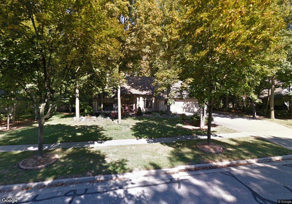
692 Maple Crest Dr Frankenmuth, MI 48734
Estimated Value: $501,794 - $538,000
Studio
1
Bath
2,312
Sq Ft
$226/Sq Ft
Est. Value
About This Home
This home is located at 692 Maple Crest Dr, Frankenmuth, MI 48734 and is currently estimated at $523,199, approximately $226 per square foot. 692 Maple Crest Dr is a home located in Saginaw County with nearby schools including List Elementary, E.F. Rittmueller Middle School, and Frankenmuth High School.
Ownership History
Date
Name
Owned For
Owner Type
Purchase Details
Closed on
May 2, 2024
Sold by
Dwan Jerome P and Dwan Patricia O
Bought by
Dwan Jerome P and Dwan Patricia O
Current Estimated Value
Purchase Details
Closed on
Sep 10, 2012
Sold by
Dwan Jerome P
Bought by
Dwan Jerome P and Dwan Patricia O
Purchase Details
Closed on
Dec 17, 2003
Home Financials for this Owner
Home Financials are based on the most recent Mortgage that was taken out on this home.
Original Mortgage
$268,000
Interest Rate
5.77%
Mortgage Type
Purchase Money Mortgage
Create a Home Valuation Report for This Property
The Home Valuation Report is an in-depth analysis detailing your home's value as well as a comparison with similar homes in the area
Home Values in the Area
Average Home Value in this Area
Purchase History
| Date | Buyer | Sale Price | Title Company |
|---|---|---|---|
| Dwan Jerome P | -- | None Listed On Document | |
| Dwan Jerome P | -- | -- | |
| -- | $335,000 | -- | |
| Liv Jerome P | -- | -- | |
| Dwan Jerome P | $335,000 | -- |
Source: Public Records
Mortgage History
| Date | Status | Borrower | Loan Amount |
|---|---|---|---|
| Previous Owner | Dwan Jerome P | $268,000 | |
| Closed | Dwan Jerome P | $30,000 |
Source: Public Records
Tax History
| Year | Tax Paid | Tax Assessment Tax Assessment Total Assessment is a certain percentage of the fair market value that is determined by local assessors to be the total taxable value of land and additions on the property. | Land | Improvement |
|---|---|---|---|---|
| 2025 | $3,539 | $259,400 | $0 | $0 |
| 2024 | $3,433 | $222,700 | $0 | $0 |
| 2023 | $4,001 | $213,200 | $0 | $0 |
| 2022 | $5,278 | $209,400 | $0 | $0 |
| 2021 | $4,869 | $168,300 | $0 | $0 |
| 2020 | $4,772 | $151,100 | $0 | $0 |
| 2019 | $4,569 | $144,200 | $0 | $0 |
| 2018 | $3,096 | $126,500 | $0 | $0 |
| 2017 | $4,267 | $128,400 | $0 | $0 |
| 2016 | $4,213 | $128,500 | $0 | $0 |
| 2014 | -- | $132,000 | $0 | $102,000 |
| 2013 | -- | $137,300 | $0 | $0 |
Source: Public Records
Map
Nearby Homes
- 456 Groveland Dr
- 249 Churchgrove Rd
- 53 Pine Grove Dr
- 4140 S Gera Rd
- 1 Sunburst Ct
- 405 Nickless St
- 655 Eastgate Dr
- 6 Wilshire Dr Unit A6
- 686 Willow Ln
- 235 Cherry St
- 10 Harlan Ct
- 1 Harlan Ct
- 425 Harvest Ln
- 000 W Tuscola St
- 936 Flora Ct
- 12400 S Gera Rd
- 12091 E Tuscola Rd
- 140 W Jefferson St
- 192 Queen's Creek Dr
- 11420 E Curtis Rd
- 700 Maple Crest Dr
- 684 Maple Crest Dr
- 695 Maple Crest Dr
- 685 Maple Crest Dr
- 685 Maple Crest Dr
- 718 Maple Crest Dr
- 711 Maple Crest Dr
- 10680 Roedel Rd
- 678 Maple Crest Dr
- 675 Maple Crest Dr
- 10640 Roedel Rd
- 10640 Roedel Rd
- 10700 Roedel Rd
- 731 Maple Crest Dr
- 668 Maple Crest Dr
- 694 Wren Rd
- 700 Wren Rd
- 718 Wren Rd
- 690 Wren Rd
- 741 Maple Crest Dr
Your Personal Tour Guide
Ask me questions while you tour the home.