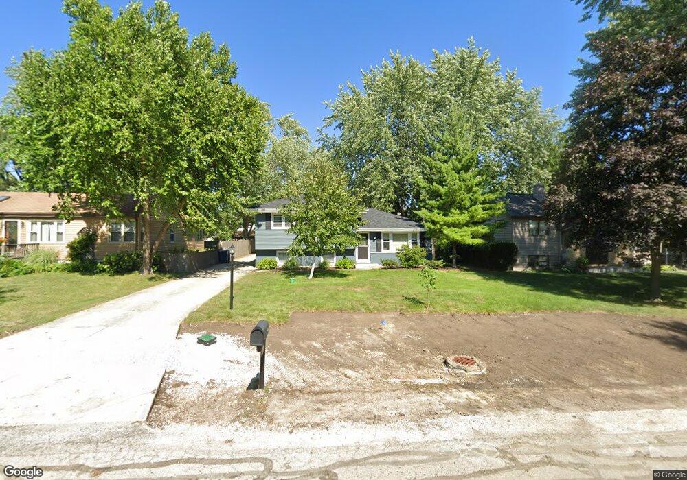
6925 High Rd Darien, IL 60561
Estimated Value: $327,000 - $396,000
Studio
1
Bath
1,044
Sq Ft
$345/Sq Ft
Est. Value
About This Home
This home is located at 6925 High Rd, Darien, IL 60561 and is currently estimated at $360,169, approximately $344 per square foot. 6925 High Rd is a home located in DuPage County with nearby schools including Mark Delay School, Lace Elementary School, and Eisenhower Jr High School.
Ownership History
Date
Name
Owned For
Owner Type
Purchase Details
Closed on
Nov 30, 1998
Sold by
Maday David Benedict and Smith Dawn Therese
Bought by
Kasper John F
Current Estimated Value
Home Financials for this Owner
Home Financials are based on the most recent Mortgage that was taken out on this home.
Original Mortgage
$140,000
Outstanding Balance
$31,856
Interest Rate
6.8%
Estimated Equity
$328,313
Create a Home Valuation Report for This Property
The Home Valuation Report is an in-depth analysis detailing your home's value as well as a comparison with similar homes in the area
Home Values in the Area
Average Home Value in this Area
Purchase History
We collect this data history from publicly available records. To have your information removed, we recommend requesting removal directly through your county’s website.
| Date | Buyer | Sale Price | Title Company |
|---|---|---|---|
| Kasper John F | $175,500 | Intercounty Title |
Source: Public Records
Mortgage History
We collect this data history from publicly available records. To have your information removed, we recommend requesting removal directly through your county’s website.
| Date | Status | Borrower | Loan Amount |
|---|---|---|---|
| Open | Kasper John F | $140,000 |
Source: Public Records
Tax History
| Year | Tax Paid | Tax Assessment Tax Assessment Total Assessment is a certain percentage of the fair market value that is determined by local assessors to be the total taxable value of land and additions on the property. | Land | Improvement |
|---|---|---|---|---|
| 2024 | $6,177 | $103,874 | $40,695 | $63,179 |
| 2023 | $5,938 | $95,490 | $37,410 | $58,080 |
| 2022 | $5,623 | $90,000 | $35,260 | $54,740 |
| 2021 | $5,409 | $88,980 | $34,860 | $54,120 |
| 2020 | $5,334 | $87,220 | $34,170 | $53,050 |
| 2019 | $5,152 | $83,690 | $32,790 | $50,900 |
| 2018 | $4,727 | $77,860 | $32,630 | $45,230 |
| 2017 | $4,610 | $74,920 | $31,400 | $43,520 |
| 2016 | $4,484 | $71,500 | $29,970 | $41,530 |
| 2015 | $4,413 | $67,270 | $28,200 | $39,070 |
| 2014 | $4,286 | $64,660 | $27,420 | $37,240 |
| 2013 | $4,088 | $62,770 | $27,290 | $35,480 |
Source: Public Records
Map
Nearby Homes
- 221 69th St
- 6740 Illinois 83
- 7113 Clarendon Hills Rd
- 321 Janet Ave
- 430 71st St
- 301 Lake Hinsdale Dr Unit 404
- 5828 Clarendon Hills Rd
- 538 Maple Ln
- 701 Lake Hinsdale Dr Unit 412
- 526 72nd St
- 740 67th Place
- 601 Lake Hinsdale Dr Unit 301
- 7235 Willow Way Ln Unit B
- 7210 S Adams St Unit D
- 7230 S Adams St Unit D
- 717 Maplewood Ct Unit B
- 748 73rd Ct
- 6503 Clarendon Hills Rd
- 58 Portwine Rd
- 6443 Clarendon Hills Rd Unit 305A
- 6929 High Rd
- 6937 High Rd
- 6921 High Rd
- 6918 Eleanor Place
- 6922 Eleanor Place
- 6914 Eleanor Place
- 7001 High Rd
- 6926 Eleanor Place
- 6910 Eleanor Place
- 6917 High Rd
- 6926 High Rd
- 202 Peony Place
- 6930 Eleanor Place
- 7005 High Rd
- 201 Peony Place
- 6922 High Rd
- 6906 Eleanor Place
- 6913 High Rd
- 6934 Eleanor Place
- 6918 High Rd
Your Personal Tour Guide
Ask me questions while you tour the home.