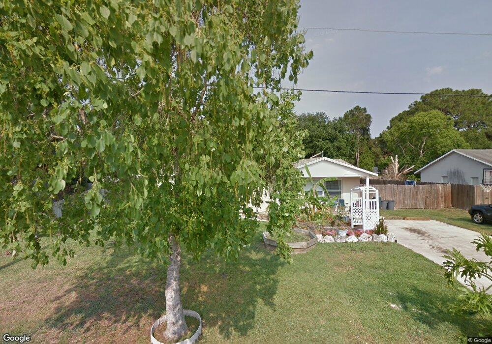
6934 Boston Rd Cocoa, FL 32927
Port Saint John AreaEstimated Value: $250,461 - $289,000
About This Home
This home is located at 6934 Boston Rd, Cocoa, FL 32927 and is currently estimated at $268,865, approximately $224 per square foot. 6934 Boston Rd is a home located in Brevard County with nearby schools including Atlantis Elementary School, Space Coast Junior/Senior High School, and Sculptor Charter School.
Ownership History
We collect this data history from publicly available records. To have your information removed, we recommend requesting removal directly through your county’s website.
Purchase Details
Purchase Details
Purchase Details
Home Values in the Area
Average Home Value in this Area
Purchase History
We collect this data history from publicly available records. To have your information removed, we recommend requesting removal directly through your county’s website.
| Date | Buyer | Sale Price | Title Company |
|---|---|---|---|
| $59,900 | -- | ||
| $54,400 | -- | ||
| -- | -- |
Tax History
We collect this data history from publicly available records. To have your information removed, we recommend requesting removal directly through your county’s website.
| Year | Tax Paid | Tax Assessment Tax Assessment Total Assessment is a certain percentage of the fair market value that is determined by local assessors to be the total taxable value of land and additions on the property. | Land | Improvement |
|---|---|---|---|---|
| 2025 | $964 | $64,840 | ||
| 2024 | $945 | $63,020 | ||
| 2023 | $945 | $61,190 | $0 | $0 |
| 2022 | $899 | $59,410 | $0 | $0 |
| 2021 | $899 | $57,680 | $0 | $0 |
| 2020 | $854 | $56,890 | $0 | $0 |
| 2019 | $801 | $55,620 | $0 | $0 |
| 2018 | $801 | $54,590 | $0 | $0 |
| 2017 | $801 | $53,470 | $0 | $0 |
| 2016 | $806 | $52,380 | $18,000 | $34,380 |
| 2015 | $810 | $52,020 | $15,000 | $37,020 |
| 2014 | $815 | $51,610 | $11,000 | $40,610 |
Map
- 4390 Everglades St
- 6830 Bright Ave
- 4370 Everglades St
- 7065 Bright Ave
- 6800 Ackerman Ave
- 6905 Bentley Rd
- 4230 Lee Hall Place
- 4235 Lee Hall Place
- 4680 Greenhill St
- 7210 Barbara Rd
- 7256 Bright Ave
- 7230 Barbara Rd
- 4355 Delespine Rd
- 4845 Hawley Rd
- 4715 Greenhill St
- 6825 Anecia Ave
- 4335 Olympic Dr
- 6515 Greenwood Ave
- 4360 Feather St
- 4991 Falcon Blvd
- 6942 Boston Rd
- 6926 Boston Rd
- 6925 Caliph Ave
- 6915 Caliph Ave
- 6950 Boston Rd
- 6935 Caliph Ave
- 6918 Boston Rd
- 6941 Boston Rd
- 6933 Boston Rd
- 6949 Boston Rd
- 6925 Boston Rd
- 6945 Caliph Ave
- 4570 Everglades St
- 6965 Boston
- 4550 Everglades St
- 4590 Everglades St
- 6950 Briggs Ave
- 6920 Caliph Ave
- 6940 Briggs Ave
- 6910 Caliph Ave
Ask me questions while you tour the home.