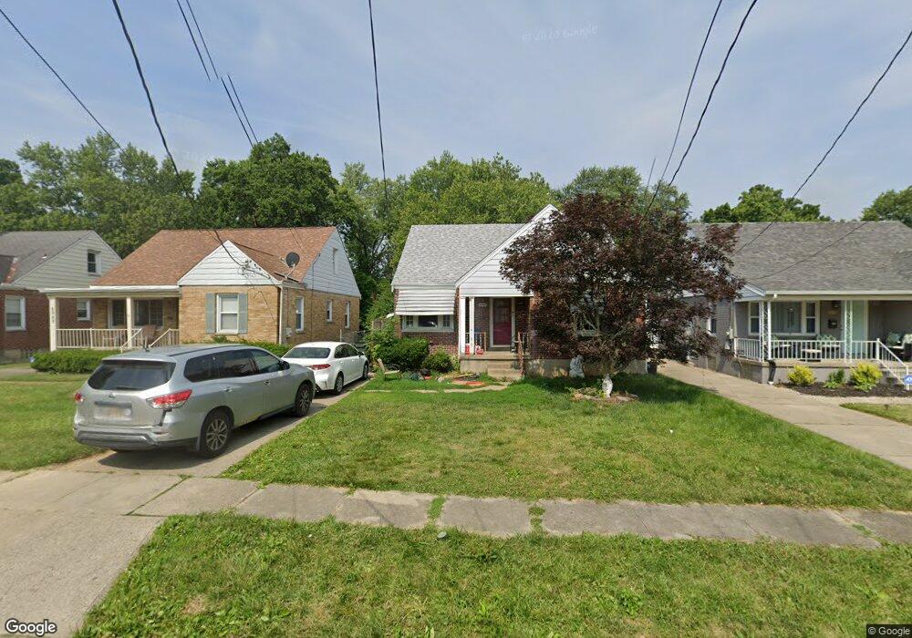
6947 Lois Dr Cincinnati, OH 45239
North College Hill AreaEstimated Value: $170,000 - $225,000
About This Home
This home is located at 6947 Lois Dr, Cincinnati, OH 45239 and is currently estimated at $193,706, approximately $142 per square foot. 6947 Lois Dr is a home located in Hamilton County with nearby schools including North College Hill Elementary School, North College Hill Middle School, and North College Hill High School.
Ownership History
We collect this data history from publicly available records. To have your information removed, we recommend requesting removal directly through your county’s website.
Purchase Details
Home Financials for this Owner
Home Financials are based on the most recent Mortgage that was taken out on this home.Purchase Details
Home Financials for this Owner
Home Financials are based on the most recent Mortgage that was taken out on this home.Purchase Details
Home Financials for this Owner
Home Financials are based on the most recent Mortgage that was taken out on this home.Purchase Details
Home Financials for this Owner
Home Financials are based on the most recent Mortgage that was taken out on this home.Purchase Details
Home Financials for this Owner
Home Financials are based on the most recent Mortgage that was taken out on this home.Home Values in the Area
Average Home Value in this Area
Purchase History
We collect this data history from publicly available records. To have your information removed, we recommend requesting removal directly through your county’s website.
| Date | Buyer | Sale Price | Title Company |
|---|---|---|---|
| $39,000 | Attorney | ||
| $64,000 | None Available | ||
| $119,500 | Direct Title Resource Llc | ||
| $114,000 | Springdale Title Agency Inc | ||
| $83,000 | First Title Agency Inc |
Mortgage History
We collect this data history from publicly available records. To have your information removed, we recommend requesting removal directly through your county’s website.
| Date | Status | Borrower | Loan Amount |
|---|---|---|---|
| Open | $50,000 | ||
| Closed | $33,150 | ||
| Previous Owner | $119,000 | ||
| Previous Owner | $112,238 | ||
| Previous Owner | $82,311 |
Tax History
We collect this data history from publicly available records. To have your information removed, we recommend requesting removal directly through your county’s website.
| Year | Tax Paid | Tax Assessment Tax Assessment Total Assessment is a certain percentage of the fair market value that is determined by local assessors to be the total taxable value of land and additions on the property. | Land | Improvement |
|---|---|---|---|---|
| 2025 | $2,232 | $41,955 | $7,077 | $34,878 |
| 2023 | $2,213 | $41,955 | $7,077 | $34,878 |
| 2022 | $2,176 | $29,530 | $5,793 | $23,737 |
| 2021 | $2,168 | $29,530 | $5,793 | $23,737 |
| 2020 | $1,867 | $29,530 | $5,793 | $23,737 |
| 2019 | $1,841 | $25,904 | $5,082 | $20,822 |
| 2018 | $1,840 | $25,904 | $5,082 | $20,822 |
| 2017 | $1,765 | $25,904 | $5,082 | $20,822 |
| 2016 | $834 | $12,832 | $7,333 | $5,499 |
| 2015 | $823 | $12,832 | $7,333 | $5,499 |
| 2014 | $821 | $12,832 | $7,333 | $5,499 |
| 2013 | $847 | $13,651 | $7,802 | $5,849 |
Map
- 6924 Gloria Dr
- 7025 Mulberry St
- 6943 Rob Vern Dr
- 6961 La Boiteaux Ave
- 6961 La Boiteaux Ave
- 1933 Shollenberger Ave
- 1903 Acorn Dr
- 1906 Acorn Dr
- 12126 Pin Oak Dr
- 6823 Betts Ave
- 1725 Norcol Ln
- 1720 Marilyn Ln
- 1975 S Lynndale Ave
- 2026 Sundale Ave
- 6915 Mearl Ave
- 1712 Norcol Ln
- 1711 Flora Ave
- 1814 Goodman Ave
- 1820 de Armand Ave
- 1832 Dallas Ave
Ask me questions while you tour the home.