695 River Rd Otsego, MI 49078
Estimated Value: $363,000 - $402,000
3
Beds
2
Baths
1,852
Sq Ft
$205/Sq Ft
Est. Value
About This Home
This home is located at 695 River Rd, Otsego, MI 49078 and is currently estimated at $379,618, approximately $204 per square foot. 695 River Rd is a home located in Allegan County with nearby schools including Otsego High School, Otsego Christian Academy, and St. Margaret School.
Ownership History
Date
Name
Owned For
Owner Type
Purchase Details
Closed on
May 23, 2022
Sold by
Foster Sandra M
Bought by
Foster Sandra M
Current Estimated Value
Purchase Details
Closed on
Jan 11, 2011
Sold by
Foster James A and Foster Sandra M
Bought by
Foster James A and Foster Sandra M
Purchase Details
Closed on
May 24, 2000
Sold by
Tyler Larry and Tyler Mary
Bought by
Foster James A and Foster Sandra M
Create a Home Valuation Report for This Property
The Home Valuation Report is an in-depth analysis detailing your home's value as well as a comparison with similar homes in the area
Home Values in the Area
Average Home Value in this Area
Purchase History
| Date | Buyer | Sale Price | Title Company |
|---|---|---|---|
| Foster Sandra M | -- | None Listed On Document | |
| Foster James A | -- | None Listed On Document | |
| Foster James | -- | None Listed On Document | |
| Foster James A | -- | None Available | |
| Foster James A | $200,000 | -- |
Source: Public Records
Tax History
| Year | Tax Paid | Tax Assessment Tax Assessment Total Assessment is a certain percentage of the fair market value that is determined by local assessors to be the total taxable value of land and additions on the property. | Land | Improvement |
|---|---|---|---|---|
| 2025 | $3,775 | $200,400 | $11,900 | $188,500 |
| 2024 | $3,183 | $175,500 | $11,900 | $163,600 |
| 2023 | $3,240 | $147,100 | $11,300 | $135,800 |
| 2022 | $3,183 | $136,600 | $11,600 | $125,000 |
| 2021 | $3,012 | $127,300 | $8,100 | $119,200 |
| 2020 | $2,968 | $109,400 | $7,300 | $102,100 |
| 2019 | $1,158 | $51,800 | $7,200 | $44,600 |
| 2018 | $1,133 | $51,100 | $7,600 | $43,500 |
| 2017 | $0 | $54,900 | $5,800 | $49,100 |
| 2016 | $0 | $51,200 | $5,800 | $45,400 |
| 2015 | -- | $51,200 | $5,800 | $45,400 |
| 2014 | $2,277 | $43,700 | $5,800 | $37,900 |
| 2013 | $2,277 | $33,800 | $6,100 | $27,700 |
Source: Public Records
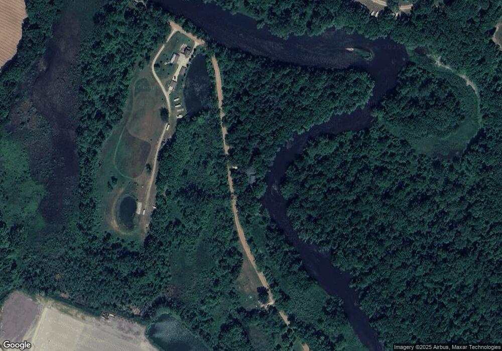
Map
Nearby Homes
- 2057 108th Ave
- 932 Lincoln Rd
- 2435 108th Ave
- 602 Lincoln Rd
- 1794 Ariel Dr Unit 11
- 206 S Grant St
- 232 23rd St
- 516 Catherine St
- 0 Briarwood St Unit 25002251
- 361 W Allegan St
- 466 27th St
- 301 Helen Ave
- 241 Helen Ave
- 229 W Orleans St
- 1135 18th St
- 508 S Farmer St
- 1121 26th St
- 1431 Michigan 89
- 2112 101st Ave
- 324 S Fair St
- 668 River Rd
- 656 River Rd
- 0 River Rd Unit 66014011183
- 0 River Rd Unit 66011060065
- 0 River Rd Unit 66011060018
- 7 River Rd
- 9 River Rd
- 3 River Rd
- 2 River Rd
- 0 River Rd Unit M14011183
- 34 River Rd
- 0 River Rd Unit 11060065
- 0 River Rd Unit APP 2 3259451
- 0 River Rd Unit APP 2
- 5 River Rd
- 636 River Rd
- 2088 Fairlane Ct
- 2071 Fairlane Ct
- 2065 Fairlane Ct
- 2082 Fairlane Ct
Your Personal Tour Guide
Ask me questions while you tour the home.