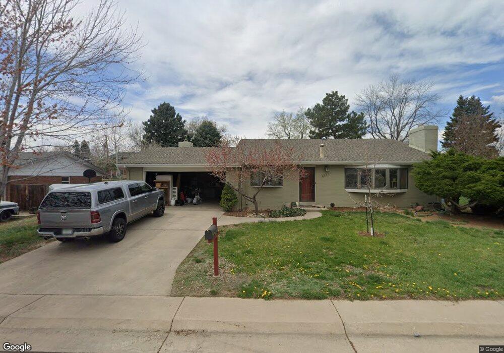
6967 Carr Ct Arvada, CO 80004
Scenic Heights NeighborhoodEstimated Value: $610,000 - $697,000
About This Home
This home is located at 6967 Carr Ct, Arvada, CO 80004 and is currently estimated at $650,107, approximately $425 per square foot. 6967 Carr Ct is a home located in Jefferson County with nearby schools including Secrest Elementary School, North Arvada Middle School, and Arvada High School.
Ownership History
We collect this data history from publicly available records. To have your information removed, we recommend requesting removal directly through your county’s website.
Purchase Details
Home Financials for this Owner
Home Financials are based on the most recent Mortgage that was taken out on this home.Purchase Details
Home Financials for this Owner
Home Financials are based on the most recent Mortgage that was taken out on this home.Home Values in the Area
Average Home Value in this Area
Purchase History
We collect this data history from publicly available records. To have your information removed, we recommend requesting removal directly through your county’s website.
| Date | Buyer | Sale Price | Title Company |
|---|---|---|---|
| $255,000 | -- | ||
| -- | Land Title |
Mortgage History
We collect this data history from publicly available records. To have your information removed, we recommend requesting removal directly through your county’s website.
| Date | Status | Borrower | Loan Amount |
|---|---|---|---|
| Open | $242,250 | ||
| Previous Owner | $172,000 |
Tax History
We collect this data history from publicly available records. To have your information removed, we recommend requesting removal directly through your county’s website.
| Year | Tax Paid | Tax Assessment Tax Assessment Total Assessment is a certain percentage of the fair market value that is determined by local assessors to be the total taxable value of land and additions on the property. | Land | Improvement |
|---|---|---|---|---|
| 2025 | $3,860 | $37,434 | $14,847 | $22,587 |
| 2024 | $3,395 | $35,006 | $18,591 | $16,415 |
| 2023 | $3,395 | $35,006 | $18,591 | $16,415 |
| 2022 | $2,944 | $30,066 | $14,423 | $15,643 |
| 2021 | $2,993 | $30,931 | $14,838 | $16,093 |
| 2020 | $2,549 | $26,417 | $11,601 | $14,816 |
| 2019 | $2,515 | $26,417 | $11,601 | $14,816 |
| 2018 | $2,425 | $24,764 | $8,863 | $15,901 |
| 2017 | $2,220 | $24,764 | $8,863 | $15,901 |
| 2016 | $2,013 | $21,160 | $6,092 | $15,068 |
| 2015 | $1,883 | $21,160 | $6,092 | $15,068 |
| 2014 | $1,883 | $18,602 | $5,158 | $13,444 |
Map
- 6958 Brentwood Ct
- 8118 W 69th Way
- 6919 Estes Dr
- 8714 W 67th Place
- 8300 W 72nd Place
- 8320 W 66th Ave
- 6795 Garrison St
- 6575 Estes St
- 6832 Garland St
- 6500 Brentwood St
- 7555 W 69th Place
- 8928 W 65th Ave
- 6969 Hoyt Ct
- 6500 Garrison St
- 9130 W 65th Ave
- 8477 W 74th Place
- 6490 Garland St
- 6453 Zephyr St
- 8395 W 63rd Ave
- 7232 W 67th Place
Ask me questions while you tour the home.