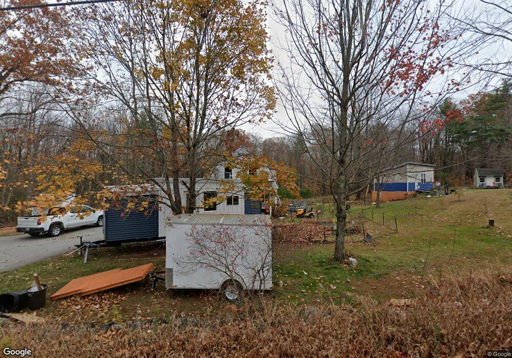
697 Cape Rd Limington, ME 04049
Estimated Value: $358,000 - $380,000
3
Beds
1
Bath
1,344
Sq Ft
$273/Sq Ft
Est. Value
About This Home
This home is located at 697 Cape Rd, Limington, ME 04049 and is currently estimated at $366,355, approximately $272 per square foot. 697 Cape Rd is a home located in York County with nearby schools including Bonny Eagle High School.
Ownership History
Date
Name
Owned For
Owner Type
Purchase Details
Closed on
Jun 3, 2022
Sold by
Plourde Katharine A
Bought by
Plourde Murray A
Current Estimated Value
Home Financials for this Owner
Home Financials are based on the most recent Mortgage that was taken out on this home.
Original Mortgage
$131,313
Outstanding Balance
$123,849
Interest Rate
5.11%
Mortgage Type
Purchase Money Mortgage
Estimated Equity
$242,506
Purchase Details
Closed on
Jun 28, 2010
Sold by
Freedom Mortgage Corp and Mers
Bought by
Federal National Mortgage Association
Home Financials for this Owner
Home Financials are based on the most recent Mortgage that was taken out on this home.
Original Mortgage
$100,000
Interest Rate
4.98%
Mortgage Type
Purchase Money Mortgage
Purchase Details
Closed on
Oct 6, 2009
Sold by
Freedom Mortgage Corp
Bought by
Federal National Mortgage Association
Create a Home Valuation Report for This Property
The Home Valuation Report is an in-depth analysis detailing your home's value as well as a comparison with similar homes in the area
Home Values in the Area
Average Home Value in this Area
Purchase History
| Date | Buyer | Sale Price | Title Company |
|---|---|---|---|
| Plourde Murray A | $130,000 | None Available | |
| Federal National Mortgage Association | -- | -- | |
| Federal National Mortgage Association | -- | -- |
Source: Public Records
Mortgage History
| Date | Status | Borrower | Loan Amount |
|---|---|---|---|
| Open | Plourde Murray A | $131,313 | |
| Previous Owner | Federal National Mortgage Association | $100,000 |
Source: Public Records
Tax History
| Year | Tax Paid | Tax Assessment Tax Assessment Total Assessment is a certain percentage of the fair market value that is determined by local assessors to be the total taxable value of land and additions on the property. | Land | Improvement |
|---|---|---|---|---|
| 2025 | $3,454 | $308,400 | $102,000 | $206,400 |
| 2024 | $3,463 | $308,400 | $102,000 | $206,400 |
| 2023 | $3,155 | $308,400 | $102,000 | $206,400 |
| 2022 | $2,525 | $171,200 | $68,000 | $103,200 |
| 2021 | $2,260 | $171,200 | $68,000 | $103,200 |
| 2020 | $2,011 | $163,470 | $68,000 | $95,470 |
| 2019 | $2,011 | $163,470 | $68,000 | $95,470 |
| 2017 | $1,929 | $163,470 | $68,000 | $95,470 |
| 2016 | $1,839 | $163,470 | $68,000 | $95,470 |
| 2015 | $1,782 | $163,470 | $68,000 | $95,470 |
| 2014 | $1,782 | $163,470 | $68,000 | $95,470 |
| 2013 | $1,716 | $163,470 | $68,000 | $95,470 |
Source: Public Records
Map
Nearby Homes
- 530 Cape Rd
- 8 & 40 Durgin Farm Rd
- 8 Durgin Farm Rd
- 40 Durgin Farm Rd
- 277 River Rd
- 395 River Rd
- 1 Roosevelt Trail
- 311 Milt Brown Rd
- 53 Cape Rd
- 26 Old Country Way
- Lot 23 Stony Brook Dr
- 448 Sokokis Ave
- Lot 7 Prokey Dr
- Lot 12 Prokey Dr
- 60 Edge Hill Rd
- 30 Summit Dr
- 192 Ossipee Trail
- 175 Deer Crossing Rd
- 59 Crescent Dr
- 35 Kennedy Dr
Your Personal Tour Guide
Ask me questions while you tour the home.