6970 Clinton Rd Upper Darby, PA 19082
Estimated Value: $133,000 - $162,000
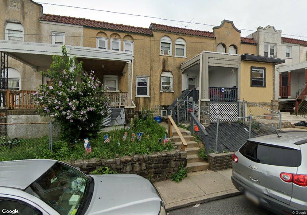
About This Home
This home is located at 6970 Clinton Rd, Upper Darby, PA 19082 and is currently estimated at $147,379, approximately $127 per square foot. 6970 Clinton Rd is a home located in Delaware County with nearby schools including Upper Darby Kdg Center, Upper Darby High School, and Vision Academy Charter School.
Ownership History
We collect this data history from publicly available records. To have your information removed, we recommend requesting removal directly through your county’s website.
Purchase Details
Purchase Details
Home Financials for this Owner
Home Financials are based on the most recent Mortgage that was taken out on this home.Purchase Details
Home Financials for this Owner
Home Financials are based on the most recent Mortgage that was taken out on this home.Home Values in the Area
Average Home Value in this Area
Purchase History
We collect this data history from publicly available records. To have your information removed, we recommend requesting removal directly through your county’s website.
| Date | Buyer | Sale Price | Title Company |
|---|---|---|---|
| $50,000 | None Available | ||
| $51,000 | -- | ||
| $30,000 | -- |
Mortgage History
We collect this data history from publicly available records. To have your information removed, we recommend requesting removal directly through your county’s website.
| Date | Status | Borrower | Loan Amount |
|---|---|---|---|
| Previous Owner | $40,800 | ||
| Previous Owner | $27,000 |
Tax History
We collect this data history from publicly available records. To have your information removed, we recommend requesting removal directly through your county’s website.
| Year | Tax Paid | Tax Assessment Tax Assessment Total Assessment is a certain percentage of the fair market value that is determined by local assessors to be the total taxable value of land and additions on the property. | Land | Improvement |
|---|---|---|---|---|
| 2026 | $2,922 | $65,790 | $13,560 | $52,230 |
| 2025 | $2,782 | $65,790 | $13,560 | $52,230 |
| 2024 | $2,782 | $65,790 | $13,560 | $52,230 |
| 2023 | $2,756 | $65,790 | $13,560 | $52,230 |
| 2022 | $2,682 | $65,790 | $13,560 | $52,230 |
| 2021 | $3,616 | $65,790 | $13,560 | $52,230 |
| 2020 | $2,587 | $40,000 | $12,330 | $27,670 |
| 2019 | $2,542 | $40,000 | $12,330 | $27,670 |
| 2018 | $2,513 | $40,000 | $0 | $0 |
| 2017 | $2,447 | $40,000 | $0 | $0 |
| 2016 | $220 | $40,000 | $0 | $0 |
| 2015 | $224 | $40,000 | $0 | $0 |
| 2014 | $220 | $40,000 | $0 | $0 |
Map
- 6997 Guilford Rd
- 7121 Radbourne Rd
- 585 Snowden Rd
- 7108 Clover Ln
- 7153 Radbourne Rd
- 7046 Clover Ln
- 7023 Clover Ln
- 535 Wiltshire Rd
- 246 Wiltshire Rd
- 526 S 69th St
- 7160 Clover Ln
- 7000 Greenwood Ave
- 613 Copley Rd
- 501 Millbank Rd
- 510 Millbank Rd
- 7123 Seaford Rd
- 6845 Clover Ln
- 608 Briarcliff Rd
- 519 Littlecroft Rd
- 7143 Guilford Rd
- 6982 Aberdeen Rd
- 6986 Aberdeen Rd
- 6960 Aberdeen Rd
- 6978 Aberdeen Rd
- 6980 Aberdeen Rd
- 6988 Aberdeen Rd
- 6976 Aberdeen Rd
- 6990 Aberdeen Rd
- 6974 Aberdeen Rd
- 6981 Clinton Rd
- 6983 Clinton Rd
- 6977 Clinton Rd
- 6979 Clinton Rd
- 6985 Clinton Rd
- 6992 Aberdeen Rd
- 6987 Clinton Rd
- 6972 Aberdeen Rd
- 6975 Clinton Rd
- 6989 Clinton Rd
- 6973 Clinton Rd
Ask me questions while you tour the home.