698 W Drummond Dr Bourbonnais, IL 60914
Estimated Value: $166,000 - $192,000
About This Home
This home is located at 698 W Drummond Dr, Bourbonnais, IL 60914 and is currently estimated at $179,806, approximately $178 per square foot. 698 W Drummond Dr is a home located in Kankakee County with nearby schools including Alan B. Shepard Elementary School, Liberty Intermediate School, and Bourbonnais Upper Grade Center.
Ownership History
We collect this data history from publicly available records. To have your information removed, we recommend requesting removal directly through your county’s website.
Purchase Details
Home Financials for this Owner
Home Financials are based on the most recent Mortgage that was taken out on this home.Home Values in the Area
Average Home Value in this Area
Purchase History
We collect this data history from publicly available records. To have your information removed, we recommend requesting removal directly through your county’s website.
| Date | Buyer | Sale Price | Title Company |
|---|---|---|---|
| $150,000 | Homestar Title |
Mortgage History
We collect this data history from publicly available records. To have your information removed, we recommend requesting removal directly through your county’s website.
| Date | Status | Borrower | Loan Amount |
|---|---|---|---|
| Open | $145,500 |
Tax History
We collect this data history from publicly available records. To have your information removed, we recommend requesting removal directly through your county’s website.
| Year | Tax Paid | Tax Assessment Tax Assessment Total Assessment is a certain percentage of the fair market value that is determined by local assessors to be the total taxable value of land and additions on the property. | Land | Improvement |
|---|---|---|---|---|
| 2025 | $3,571 | $49,792 | $6,998 | $42,794 |
| 2024 | $3,571 | $42,973 | $6,602 | $36,371 |
| 2023 | $3,286 | $39,790 | $6,113 | $33,677 |
| 2022 | $3,220 | $37,407 | $5,892 | $31,515 |
| 2021 | $3,117 | $35,980 | $5,762 | $30,218 |
| 2020 | $3,018 | $34,160 | $5,608 | $28,552 |
| 2019 | $2,719 | $30,442 | $5,445 | $24,997 |
| 2018 | $2,562 | $28,599 | $5,365 | $23,234 |
| 2017 | $2,457 | $27,241 | $5,234 | $22,007 |
| 2016 | $2,378 | $26,414 | $5,157 | $21,257 |
| 2015 | $2,293 | $25,151 | $5,106 | $20,045 |
| 2014 | $2,632 | $30,053 | $5,106 | $24,947 |
| 2013 | -- | $30,422 | $5,106 | $25,316 |
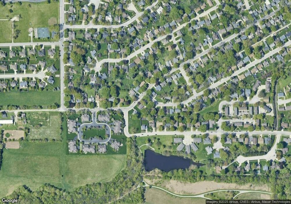
Map
- 754 River Place Dr
- 671 Bisaillon Ave
- 248 Fox Trail Dr
- 778 Woodstock Ln
- 212 Valley Ave
- 2008 Indian Trail
- 1268 Deer Path
- 1905 Indian Trail
- 460 Dennis Ave
- 440 S Cryer Ave
- 2 Oxford Place
- 901 W North St
- 372 N Blaine Ave
- 1785 Indian Trail
- 184 S Forest Ave
- 357 Windermere Way
- 272 S Forest Ave
- 183 N Cleveland Ave
- 1402 Indian Trail
- 1420 Indian Trail
- 686 W River St
- 683 Coyne St
- 688 W Drummond Dr
- 709 W River St
- 752 River Place Dr
- 754 River Place Dr Unit E-3
- 675 Coyne St
- 680 W Drummond Dr
- 677 W River St
- 756 River Place Dr
- 666 W River St
- 748 River Place Dr
- 660 W Drummond Dr
- 725 W River St
- 665 W Drummond Dr
- 669 W River St
- 648 W Drummond Dr
- 659 Coyne St
- 744 River Place Dr
- 702 River Place Dr
Ask me questions while you tour the home.