6993 Degood Rd Ostrander, OH 43061
Scioto NeighborhoodEstimated Value: $362,233 - $452,000
About This Home
This home is located at 6993 Degood Rd, Ostrander, OH 43061 and is currently estimated at $392,808, approximately $201 per square foot. 6993 Degood Rd is a home located in Delaware County with nearby schools including Buckeye Valley High School.
Ownership History
We collect this data history from publicly available records. To have your information removed, we recommend requesting removal directly through your county’s website.
Purchase Details
Home Financials for this Owner
Home Financials are based on the most recent Mortgage that was taken out on this home.Purchase Details
Purchase Details
Home Financials for this Owner
Home Financials are based on the most recent Mortgage that was taken out on this home.Home Values in the Area
Average Home Value in this Area
Purchase History
We collect this data history from publicly available records. To have your information removed, we recommend requesting removal directly through your county’s website.
| Date | Buyer | Sale Price | Title Company |
|---|---|---|---|
| $165,000 | Lawyers Title Agency | ||
| -- | -- | ||
| $103,000 | -- |
Mortgage History
We collect this data history from publicly available records. To have your information removed, we recommend requesting removal directly through your county’s website.
| Date | Status | Borrower | Loan Amount |
|---|---|---|---|
| Open | $148,500 | ||
| Previous Owner | $75,000 |
Tax History
We collect this data history from publicly available records. To have your information removed, we recommend requesting removal directly through your county’s website.
| Year | Tax Paid | Tax Assessment Tax Assessment Total Assessment is a certain percentage of the fair market value that is determined by local assessors to be the total taxable value of land and additions on the property. | Land | Improvement |
|---|---|---|---|---|
| 2025 | $2,772 | $82,290 | $13,900 | $68,390 |
| 2024 | $2,722 | $82,290 | $13,900 | $68,390 |
| 2023 | $2,722 | $82,290 | $13,900 | $68,390 |
| 2022 | $2,167 | $58,350 | $10,220 | $48,130 |
| 2021 | $2,108 | $58,350 | $10,220 | $48,130 |
| 2020 | $2,120 | $58,350 | $10,220 | $48,130 |
| 2019 | $2,007 | $50,370 | $8,510 | $41,860 |
| 2018 | $2,044 | $50,370 | $8,510 | $41,860 |
| 2017 | $1,924 | $48,760 | $7,700 | $41,060 |
| 2016 | $1,860 | $48,760 | $7,700 | $41,060 |
| 2015 | $1,963 | $48,760 | $7,700 | $41,060 |
| 2014 | $1,844 | $48,760 | $7,700 | $41,060 |
| 2013 | $1,844 | $46,800 | $7,700 | $39,100 |
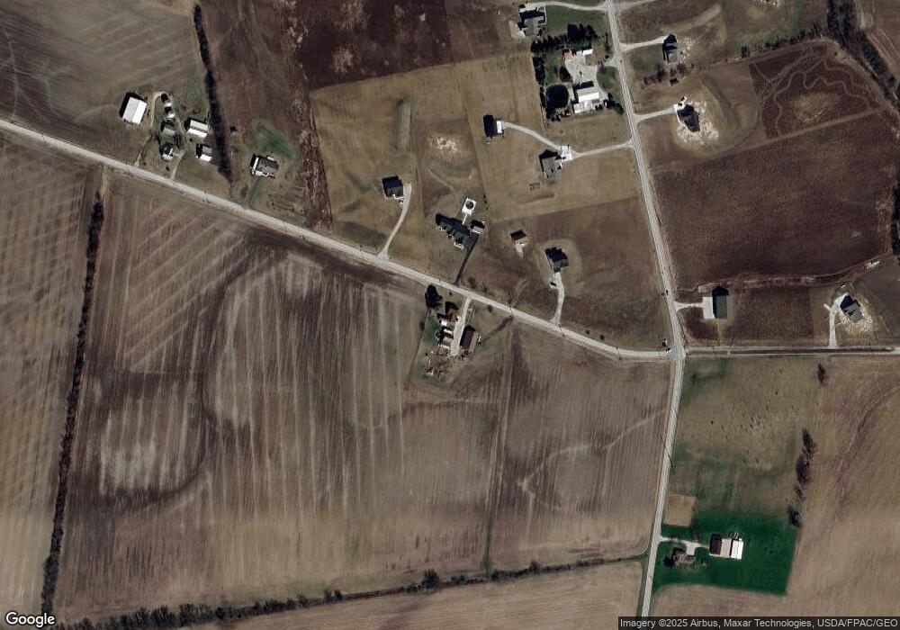
Map
- 561 Brindle Rd
- 6105 Houseman Rd
- 0 Carr Rd Unit 225016840
- 1181 Ostrander Rd
- 1078 State Route 257 S
- 5025 Warrensburg Rd
- 0 Burnt Pond Rd Unit Tract 2
- 1131 State Route 257 S
- 534 Brayshaw Dr
- 715 Tyler Rd
- 112 Highview Ct
- 3480 Ostrander Rd
- 325 Long Trail
- 0 Delaware County Line Rd
- 0 Mink Street Rd Unit 226007139
- 303 Ben Curtis Dr
- 1817 Lawrence Rd
- 9639 Stults Farm Dr
- 3700 Burnt Pond Rd
- 0 E High St Unit Tract 1 225034753
- 6998 Degood Rd
- 7040 Degood Rd
- 6862 Degood Rd
- 6920 Degood Rd
- 944 Brindle Rd
- 0 Degood Rd Unit 9 9917116
- 0 Degood Rd Unit 14 9807177
- 0 Degood Rd Unit 15 9807174
- 0 Degood Rd Unit 10 9807181
- 0 Degood Rd Unit 7 9807162
- 0 Degood Rd Unit 9 9807180
- 0 Degood Rd Unit 8 9807165
- 0 Degood Rd Unit 12 9807170
- 0 Degood Rd Unit 13 9807172
- 0 Degood Rd Unit 11 9807166
- 0 Degood Rd Unit 2014397
- 0 Degood Rd Unit 2238178
- 0 Degood Rd Unit 221034055
- 0 Degood Rd Unit 221034054
- 0 Degood Rd Unit 221034053
Ask me questions while you tour the home.