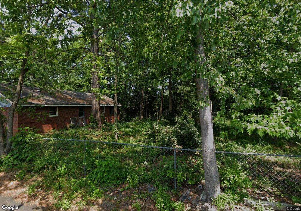
7 Arleen St Toccoa, GA 30577
Estimated Value: $179,000 - $232,000
About This Home
This home is located at 7 Arleen St, Toccoa, GA 30577 and is currently estimated at $205,409, approximately $199 per square foot. 7 Arleen St is a home with nearby schools including Stephens County High School.
Ownership History
We collect this data history from publicly available records. To have your information removed, we recommend requesting removal directly through your county’s website.
Purchase Details
Home Financials for this Owner
Home Financials are based on the most recent Mortgage that was taken out on this home.Purchase Details
Home Financials for this Owner
Home Financials are based on the most recent Mortgage that was taken out on this home.Purchase History
We collect this data history from publicly available records. To have your information removed, we recommend requesting removal directly through your county’s website.
| Date | Buyer | Sale Price | Title Company |
|---|---|---|---|
| $185,000 | -- | ||
| $85,000 | -- |
Mortgage History
We collect this data history from publicly available records. To have your information removed, we recommend requesting removal directly through your county’s website.
| Date | Status | Borrower | Loan Amount |
|---|---|---|---|
| Open | $138,750 | ||
| Previous Owner | $80,000 |
Tax History
We collect this data history from publicly available records. To have your information removed, we recommend requesting removal directly through your county’s website.
| Year | Tax Paid | Tax Assessment Tax Assessment Total Assessment is a certain percentage of the fair market value that is determined by local assessors to be the total taxable value of land and additions on the property. | Land | Improvement |
|---|---|---|---|---|
| 2025 | $2,268 | $64,998 | $1,662 | $63,336 |
| 2024 | $1,480 | $41,504 | $1,662 | $39,842 |
| 2023 | $1,358 | $38,384 | $1,662 | $36,722 |
| 2022 | $781 | $26,242 | $1,648 | $24,594 |
| 2021 | $755 | $24,158 | $1,648 | $22,510 |
| 2020 | $897 | $23,876 | $1,648 | $22,228 |
| 2019 | $900 | $23,876 | $1,648 | $22,228 |
| 2018 | $0 | $23,876 | $1,648 | $22,228 |
| 2017 | $0 | $23,876 | $1,648 | $22,228 |
| 2016 | $0 | $23,876 | $1,648 | $22,228 |
| 2015 | -- | $23,666 | $1,648 | $22,018 |
| 2014 | -- | $23,088 | $1,648 | $21,440 |
| 2013 | -- | $23,088 | $1,648 | $21,440 |
Map
- 202 S Sage St
- 481 W Currahee St
- 44 Bell St
- 157 Taylor St
- 320 S Pond St
- 98 Wood St
- 514 S Broad St
- 109 Vernon Rd
- 109 Schaefer Ct
- 574 S Sage St
- 478 S Pond St
- 203 Remsdale St
- 239 E Doyle St
- 500 S Pond St
- 91 Remsdale St
- 150 Elberton St
- 100 Forest Ave
- 181 Forest Ave
- 153 Prather Bridge Rd
- 22 Green Hill Place
- 218 W Franklin St
- 28 Arleen St
- 113 W Franklin St
- W W Franklin St
- 0 W Franklin and S Broad St
- 46 Arleen St
- 57 Arleen St
- 56 Arleen St
- 85 S Tallulah St
- 113 E Franklin St
- 179 W Currahee St
- S S Tallulah St
- 114 S Broad St
- 107 S Tallulah St
- 62 W Whitman St
- 86 S Tallulah St
- 64 S Tallulah St
- 0 Georgia 106
- 0 Lt 58 Riverwalk On Toccoa Unit LOT 58 299837
- N Georgia 184
Ask me questions while you tour the home.