7 Arrowhead Ridge Rd Freeport, ME 04032
Freeport AreaEstimated Value: $949,000 - $1,303,000
About This Home
This home is located at 7 Arrowhead Ridge Rd, Freeport, ME 04032 and is currently estimated at $1,116,492, approximately $450 per square foot. 7 Arrowhead Ridge Rd is a home located in Cumberland County with nearby schools including Morse Street School, Mast Landing School, and Freeport Middle School.
Ownership History
We collect this data history from publicly available records. To have your information removed, we recommend requesting removal directly through your county’s website.
Purchase Details
Purchase Details
Home Values in the Area
Average Home Value in this Area
Purchase History
We collect this data history from publicly available records. To have your information removed, we recommend requesting removal directly through your county’s website.
| Date | Buyer | Sale Price | Title Company |
|---|---|---|---|
| -- | -- | ||
| -- | -- |
Mortgage History
We collect this data history from publicly available records. To have your information removed, we recommend requesting removal directly through your county’s website.
| Date | Status | Borrower | Loan Amount |
|---|---|---|---|
| Closed | $250,000 | ||
| Closed | $50,000 | ||
| Closed | $18,000 | ||
| Closed | $384,000 |
Tax History
We collect this data history from publicly available records. To have your information removed, we recommend requesting removal directly through your county’s website.
| Year | Tax Paid | Tax Assessment Tax Assessment Total Assessment is a certain percentage of the fair market value that is determined by local assessors to be the total taxable value of land and additions on the property. | Land | Improvement |
|---|---|---|---|---|
| 2025 | $8,764 | $632,800 | $181,400 | $451,400 |
| 2024 | $8,333 | $624,200 | $172,800 | $451,400 |
| 2023 | $7,479 | $543,900 | $157,000 | $386,900 |
| 2022 | $7,206 | $527,900 | $141,000 | $386,900 |
| 2021 | $7,047 | $527,900 | $141,000 | $386,900 |
| 2020 | $6,895 | $492,500 | $130,500 | $362,000 |
| 2019 | $6,629 | $463,600 | $123,100 | $340,500 |
| 2018 | $6,520 | $433,200 | $118,100 | $315,100 |
| 2017 | $6,219 | $416,000 | $115,400 | $300,600 |
| 2016 | $6,094 | $385,700 | $106,800 | $278,900 |
| 2015 | $6,088 | $362,400 | $98,000 | $264,400 |
| 2014 | $5,726 | $362,400 | $98,000 | $264,400 |
| 2013 | $5,668 | $357,600 | $97,300 | $260,300 |
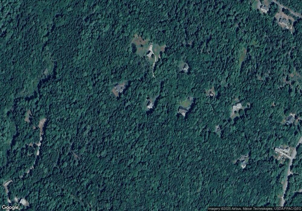
Map
- 10 Arrowhead Ridge Rd
- 38 Kings Timber Way
- 10 Cranberry Ridge Rd
- 6 Newfield Rd
- 19_8_1B Flying Point Rd
- 4 Piebald Point Ridge
- 19_8_1A Flying Point Rd
- 91 Shore Dr
- 245 Lower Flying Point Rd
- 86 Maquoit Dr
- 70 Maquoit Dr
- 83 Central Ave
- 10 & 0 Chickadee Ln
- 37 Webb Field Rd
- Lot #079 Eastern Shore Rd
- 28 Cortland Rd
- 0 Mere Point Rd
- 109 Pleasant Hill Rd
- 14 Merganser Way
- 56 Bow St
- 9 Arrowhead Ridge Rd
- 8 Arrowhead Ridge Rd
- 6 Arrowhead Ridge Rd
- 3 Arrowhead Ridge Rd
- 4 Arrowhead Ridge Rd
- 1 Arrowhead Ridge Rd
- 173 Flying Point Rd
- 175 Flying Point Rd
- 51 Surry Ln
- 39 Surry Ln
- 25 Surry Ln
- 38 Kings Timber Way
- 81 Surry Ln
- 50 Osprey Cove Rd
- 163 Flying Point Rd
- 157 Flying Point Rd
- 66 Surry Ln
- 58 Osprey Cove Rd
- 58 Osprey Cove Ln
- 72 Surry Ln
Ask me questions while you tour the home.