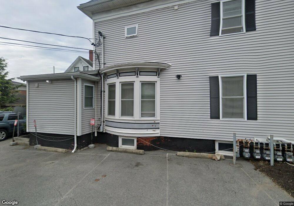
7 Broad St Unit 11 Lynn, MA 01902
Diamond District NeighborhoodEstimated Value: $2,360,022
About This Home
This home is located at 7 Broad St Unit 11, Lynn, MA 01902 and is currently estimated at $2,360,022, approximately $2,360 per square foot. 7 Broad St Unit 11 is a home located in Essex County with nearby schools including E.J. Harrington School, William R. Fallon School, and Marshall Middle School.
Ownership History
We collect this data history from publicly available records. To have your information removed, we recommend requesting removal directly through your county’s website.
Purchase Details
Home Financials for this Owner
Home Financials are based on the most recent Mortgage that was taken out on this home.Home Values in the Area
Average Home Value in this Area
Purchase History
We collect this data history from publicly available records. To have your information removed, we recommend requesting removal directly through your county’s website.
| Date | Buyer | Sale Price | Title Company |
|---|---|---|---|
| $1,500,000 | -- |
Mortgage History
We collect this data history from publicly available records. To have your information removed, we recommend requesting removal directly through your county’s website.
| Date | Status | Borrower | Loan Amount |
|---|---|---|---|
| Open | $1,050,000 | ||
| Previous Owner | $242,000 | ||
| Previous Owner | $310,000 |
Tax History
We collect this data history from publicly available records. To have your information removed, we recommend requesting removal directly through your county’s website.
| Year | Tax Paid | Tax Assessment Tax Assessment Total Assessment is a certain percentage of the fair market value that is determined by local assessors to be the total taxable value of land and additions on the property. | Land | Improvement |
|---|---|---|---|---|
| 2025 | -- | $1,982,900 | $285,700 | $1,697,200 |
| 2024 | -- | $1,938,200 | $271,400 | $1,666,800 |
| 2023 | $0 | $1,599,600 | $244,200 | $1,355,400 |
| 2022 | $0 | $1,367,900 | $213,400 | $1,154,500 |
| 2021 | $0 | $1,351,600 | $213,400 | $1,138,200 |
| 2020 | $0 | $1,242,700 | $205,800 | $1,036,900 |
| 2019 | $0 | $1,008,500 | $175,100 | $833,400 |
| 2018 | $0 | $862,800 | $160,000 | $702,800 |
| 2017 | $0 | $838,200 | $160,000 | $678,200 |
| 2016 | -- | $723,500 | $153,900 | $569,600 |
| 2015 | -- | $605,700 | $153,900 | $451,800 |
Map
- 13 Portland St Unit 4
- 8 Chestnut St
- 28 Baltimore St Unit 4
- 44 Estes St
- 20 Nahant Place Unit 307
- 54 Nahant St Unit 54R
- 24 Cherry St
- 8 Spinney Path
- 87 Broad St Unit 3
- 13 Nahant St Unit 2C
- 13 Nahant St Unit 2B
- 13 Nahant St Unit 4B
- 15 Grosvenor Park
- 77 Green St
- 77-79 Chestnut St
- 285 Lynn Shore Dr Unit 402
- 285 Lynn Shore Dr Unit 203
- 285 Lynn Shore Dr Unit 305
- 285 Lynn Shore Dr Unit 101
- 285 Lynn Shore Dr Unit 308
- 7 Broad St
- 12 Portland St Unit 1B
- 12 Portland St Unit 38
- 12 Portland St Unit 37
- 12 Portland St Unit 36
- 12 Portland St Unit 35
- 12 Portland St Unit 34
- 12 Portland St Unit 33
- 12 Portland St Unit 32
- 12 Portland St Unit 31
- 12 Portland St Unit 28
- 12 Portland St Unit 27
- 12 Portland St Unit 26
- 12 Portland St Unit 25
- 12 Portland St Unit 24
- 12 Portland St Unit 23
- 12 Portland St Unit 22
- 12 Portland St Unit 21
- 12 Portland St Unit 8
- 12 Portland St Unit 7
Ask me questions while you tour the home.