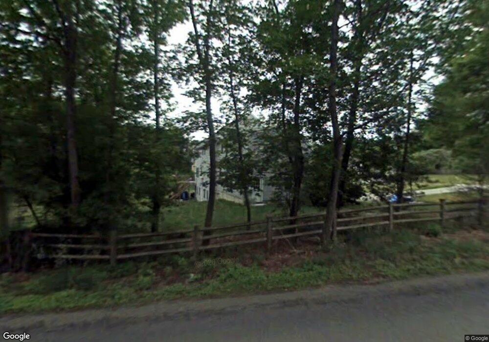
7 Cheri Way Scituate, MA 02066
Estimated Value: $1,334,859 - $1,779,000
4
Beds
3
Baths
3,436
Sq Ft
$455/Sq Ft
Est. Value
About This Home
This home is located at 7 Cheri Way, Scituate, MA 02066 and is currently estimated at $1,563,465, approximately $455 per square foot. 7 Cheri Way is a home located in Plymouth County with nearby schools including Hatherly Elementary School, Lester J. Gates Middle School, and Scituate High School.
Ownership History
Date
Name
Owned For
Owner Type
Purchase Details
Closed on
May 21, 1999
Sold by
Scialabba Enterprise
Bought by
Duffey Joseph P and Hayes-Duffey Catherine
Current Estimated Value
Home Financials for this Owner
Home Financials are based on the most recent Mortgage that was taken out on this home.
Original Mortgage
$345,500
Interest Rate
6.88%
Mortgage Type
Purchase Money Mortgage
Purchase Details
Closed on
Dec 11, 1997
Sold by
Arkell John R
Bought by
Bjorklund J Stephen and Winchester Mark K
Create a Home Valuation Report for This Property
The Home Valuation Report is an in-depth analysis detailing your home's value as well as a comparison with similar homes in the area
Home Values in the Area
Average Home Value in this Area
Purchase History
We collect this data history from publicly available records. To have your information removed, we recommend requesting removal directly through your county’s website.
| Date | Buyer | Sale Price | Title Company |
|---|---|---|---|
| Duffey Joseph P | $465,000 | -- | |
| Bjorklund J Stephen | $53,000 | -- |
Source: Public Records
Mortgage History
We collect this data history from publicly available records. To have your information removed, we recommend requesting removal directly through your county’s website.
| Date | Status | Borrower | Loan Amount |
|---|---|---|---|
| Open | Bjorklund J Stephen | $258,000 | |
| Closed | Bjorklund J Stephen | $345,500 | |
| Closed | Bjorklund J Stephen | $73,000 |
Source: Public Records
Tax History
| Year | Tax Paid | Tax Assessment Tax Assessment Total Assessment is a certain percentage of the fair market value that is determined by local assessors to be the total taxable value of land and additions on the property. | Land | Improvement |
|---|---|---|---|---|
| 2025 | $11,372 | $1,138,300 | $380,400 | $757,900 |
| 2024 | $11,282 | $1,089,000 | $345,800 | $743,200 |
| 2023 | $11,259 | $1,011,600 | $314,500 | $697,100 |
| 2022 | $10,856 | $860,200 | $275,900 | $584,300 |
| 2021 | $10,491 | $787,000 | $262,800 | $524,200 |
| 2020 | $10,841 | $803,000 | $297,200 | $505,800 |
| 2019 | $10,640 | $774,400 | $291,400 | $483,000 |
| 2018 | $10,463 | $750,000 | $300,700 | $449,300 |
| 2017 | $10,327 | $732,900 | $300,700 | $432,200 |
| 2016 | $10,194 | $720,900 | $288,700 | $432,200 |
| 2015 | $9,444 | $720,900 | $288,700 | $432,200 |
Source: Public Records
Map
Nearby Homes
- 29 Aaron River Rd
- 561 Beechwood St
- 453 Clapp Rd
- 453 - 455 Clapp Rd
- 0 Bates Ln (Lot E Kevin's Way) Unit 73419598
- 27 Ox Pasture Ln
- 59 First Parish Rd
- 341 Lincoln St
- 45 Hemlock Way
- 35 Hawthorne Ln
- 17 Alexander Place
- 38 Booth Hill Rd
- 799 Country Way
- 270 Lincoln St
- 817 Country Way
- 47 Tanglewood Dr
- 392 S Main St
- 701 Country Way
- 10 Heritage Ln
- 684 Country Way
Your Personal Tour Guide
Ask me questions while you tour the home.