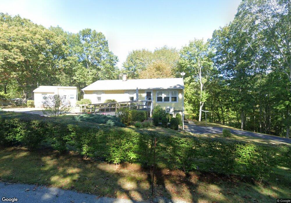
7 Cove Rd Preston, CT 06365
Estimated Value: $302,299 - $372,000
Studio
2
Baths
--
Sq Ft
39,204
Sq Ft Lot
About This Home
This home is located at 7 Cove Rd, Preston, CT 06365 and is currently estimated at $340,825. 7 Cove Rd is a home located in New London County with nearby schools including Integrated Day Charter School and St. Bernard School.
Ownership History
Date
Name
Owned For
Owner Type
Purchase Details
Closed on
Mar 12, 2024
Sold by
Starke Eileen C
Bought by
Starke Roger A
Current Estimated Value
Purchase Details
Closed on
Mar 25, 2014
Sold by
Starke Roger A and Starke Eileen C
Bought by
Starke Ft and Starke
Purchase Details
Closed on
Sep 30, 1961
Bought by
Starke Roger A and Starke Eileen C
Create a Home Valuation Report for This Property
The Home Valuation Report is an in-depth analysis detailing your home's value as well as a comparison with similar homes in the area
Home Values in the Area
Average Home Value in this Area
Purchase History
| Date | Buyer | Sale Price | Title Company |
|---|---|---|---|
| Starke Roger A | -- | None Available | |
| Starke Roger A | -- | None Available | |
| Starke Roger A | -- | None Available | |
| Starke Ft | -- | -- | |
| Starke Roger A | -- | -- | |
| Starke Ft | -- | -- |
Source: Public Records
Tax History
| Year | Tax Paid | Tax Assessment Tax Assessment Total Assessment is a certain percentage of the fair market value that is determined by local assessors to be the total taxable value of land and additions on the property. | Land | Improvement |
|---|---|---|---|---|
| 2025 | $4,027 | $160,370 | $48,510 | $111,860 |
| 2024 | $3,748 | $160,370 | $48,510 | $111,860 |
| 2023 | $3,680 | $160,370 | $48,510 | $111,860 |
| 2022 | $3,226 | $115,700 | $42,100 | $73,600 |
| 2021 | $3,117 | $115,700 | $42,100 | $73,600 |
| 2020 | $3,112 | $115,700 | $42,100 | $73,600 |
| 2019 | $3,058 | $115,700 | $42,100 | $73,600 |
| 2018 | $3,012 | $115,700 | $42,100 | $73,600 |
| 2017 | $2,933 | $122,200 | $42,100 | $80,100 |
| 2016 | $2,902 | $122,200 | $42,100 | $80,100 |
| 2015 | $2,811 | $122,200 | $42,100 | $80,100 |
| 2014 | $2,828 | $122,200 | $42,100 | $80,100 |
Source: Public Records
Map
Nearby Homes
- 3 Holdsworth Rd
- 43 Drawbridge Rd
- 4 N Glenwoods Rd
- 36 Bittersweet Dr
- 1918 Route 12
- 16 Marlene Dr
- 51 Dydo Dr
- 27 Linda Ave
- 104 Route 2a
- 23 Avery Hill Rd
- 0 Clarks Falls Unit 24089817
- 61 Fort Shantok Rd
- 9 Oakridge Dr
- 31 Woodland Dr
- 36 Route 2a
- 183 Whalehead Rd
- 7 Halls Mill Rd
- 547 Old Laurel Hill Rd
- 165 Massapeag Rd
- 1637 Connecticut 12
Your Personal Tour Guide
Ask me questions while you tour the home.