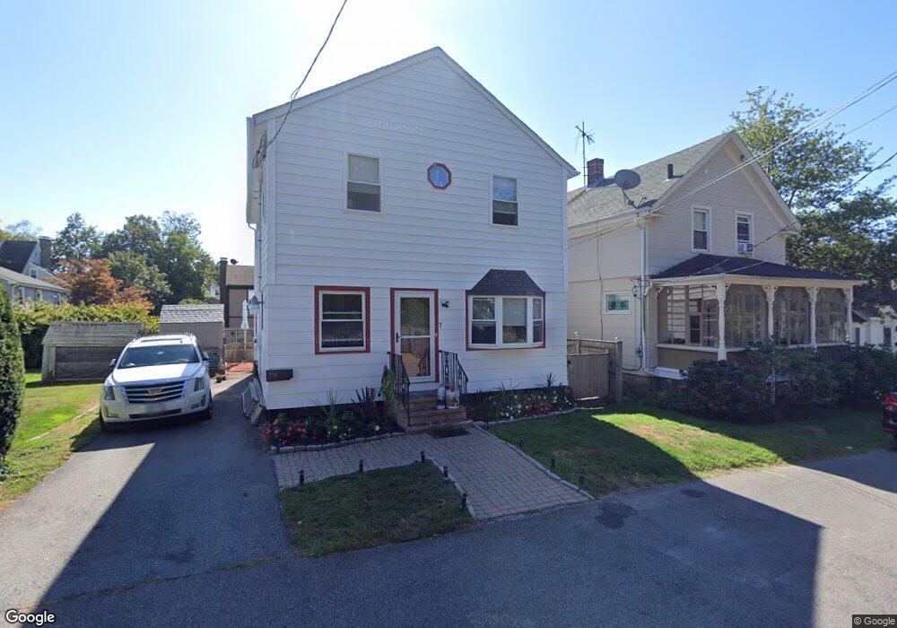
7 Cummings Rd Newport, RI 02840
North End Residential NeighborhoodEstimated Value: $647,474 - $796,000
2
Beds
1
Bath
1,632
Sq Ft
$444/Sq Ft
Est. Value
About This Home
This home is located at 7 Cummings Rd, Newport, RI 02840 and is currently estimated at $724,119, approximately $443 per square foot. 7 Cummings Rd is a home located in Newport County with nearby schools including Rogers High School, St Michael's Country Day School, and All Saints STEAM Academy.
Ownership History
Date
Name
Owned For
Owner Type
Purchase Details
Closed on
Jan 24, 1983
Bought by
Tasso Arthur G and Tasso Lavenia A
Current Estimated Value
Create a Home Valuation Report for This Property
The Home Valuation Report is an in-depth analysis detailing your home's value as well as a comparison with similar homes in the area
Home Values in the Area
Average Home Value in this Area
Purchase History
We collect this data history from publicly available records. To have your information removed, we recommend requesting removal directly through your county’s website.
| Date | Buyer | Sale Price | Title Company |
|---|---|---|---|
| Tasso Arthur G | -- | -- |
Source: Public Records
Mortgage History
We collect this data history from publicly available records. To have your information removed, we recommend requesting removal directly through your county’s website.
| Date | Status | Borrower | Loan Amount |
|---|---|---|---|
| Open | Tasso Arthur G | $120,000 | |
| Closed | Tasso Arthur G | $75,000 | |
| Closed | Tasso Arthur G | $25,000 |
Source: Public Records
Tax History
| Year | Tax Paid | Tax Assessment Tax Assessment Total Assessment is a certain percentage of the fair market value that is determined by local assessors to be the total taxable value of land and additions on the property. | Land | Improvement |
|---|---|---|---|---|
| 2025 | $3,846 | $535,600 | $203,400 | $332,200 |
| 2024 | $3,733 | $535,600 | $203,400 | $332,200 |
| 2023 | $3,599 | $362,800 | $143,800 | $219,000 |
| 2022 | $3,487 | $362,800 | $143,800 | $219,000 |
| 2021 | $3,385 | $362,800 | $143,800 | $219,000 |
| 2020 | $3,200 | $311,300 | $128,000 | $183,300 |
| 2019 | $3,200 | $311,300 | $128,000 | $183,300 |
| 2018 | $3,110 | $311,300 | $128,000 | $183,300 |
| 2017 | $2,965 | $264,500 | $74,700 | $189,800 |
| 2016 | $2,891 | $264,500 | $74,700 | $189,800 |
| 2015 | $2,822 | $264,500 | $74,700 | $189,800 |
| 2014 | $3,332 | $276,300 | $66,900 | $209,400 |
Source: Public Records
Map
Nearby Homes
- 16 Cummings Rd
- 18 Cummings Rd
- 19 Greene Ln
- 419 Broadway Unit 5
- 409 Broadway
- 20 Summer St
- 0 Ledyard St
- 315 Broadway Unit 2
- 16 Dartmouth St
- 19 Vernon Ave
- 61 Gibbs Ave
- 57 Gould St
- 21 Clinton Ave
- 3 Vicksburg Place
- 149 W Main Rd
- 66 Girard Ave Unit 311
- 66 Girard Ave Unit 114
- 4 Clinton Ave
- 1 Shangri-La Ln
- 51 Warner St
Your Personal Tour Guide
Ask me questions while you tour the home.