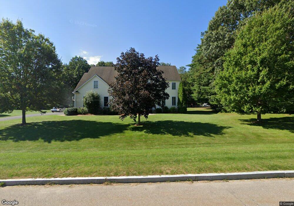
7 Gibbons Ln Wrentham, MA 02093
Estimated Value: $1,154,884 - $1,417,000
4
Beds
3
Baths
3,700
Sq Ft
$353/Sq Ft
Est. Value
About This Home
This home is located at 7 Gibbons Ln, Wrentham, MA 02093 and is currently estimated at $1,307,721, approximately $353 per square foot. 7 Gibbons Ln is a home located in Norfolk County with nearby schools including Delaney Elementary School and Charles E Roderick.
Ownership History
Date
Name
Owned For
Owner Type
Purchase Details
Closed on
Dec 27, 2007
Sold by
Bowmar Estates Llc
Bought by
Wood Daniel J and Wood Lisa M
Current Estimated Value
Home Financials for this Owner
Home Financials are based on the most recent Mortgage that was taken out on this home.
Original Mortgage
$350,000
Outstanding Balance
$220,188
Interest Rate
6.27%
Mortgage Type
Purchase Money Mortgage
Estimated Equity
$1,087,533
Create a Home Valuation Report for This Property
The Home Valuation Report is an in-depth analysis detailing your home's value as well as a comparison with similar homes in the area
Purchase History
| Date | Buyer | Sale Price | Title Company |
|---|---|---|---|
| Wood Daniel J | $710,000 | -- |
Source: Public Records
Mortgage History
| Date | Status | Borrower | Loan Amount |
|---|---|---|---|
| Open | Wood Daniel J | $350,000 |
Source: Public Records
Tax History
| Year | Tax Paid | Tax Assessment Tax Assessment Total Assessment is a certain percentage of the fair market value that is determined by local assessors to be the total taxable value of land and additions on the property. | Land | Improvement |
|---|---|---|---|---|
| 2025 | $12,171 | $1,050,100 | $338,100 | $712,000 |
| 2024 | $11,570 | $964,200 | $338,100 | $626,100 |
| 2023 | $11,434 | $906,000 | $307,400 | $598,600 |
| 2022 | $10,678 | $781,100 | $279,300 | $501,800 |
| 2021 | $10,420 | $740,600 | $279,300 | $461,300 |
| 2020 | $10,696 | $750,600 | $229,700 | $520,900 |
| 2019 | $10,262 | $726,800 | $229,700 | $497,100 |
| 2018 | $10,108 | $709,800 | $229,700 | $480,100 |
| 2017 | $10,019 | $703,100 | $225,300 | $477,800 |
| 2016 | $9,892 | $692,700 | $218,800 | $473,900 |
| 2015 | $10,017 | $668,700 | $210,300 | $458,400 |
| 2014 | $9,918 | $647,800 | $202,300 | $445,500 |
Source: Public Records
Map
Nearby Homes
- 3 Earle Stewart Ln
- 2 Earle Stewart Ln
- 215 South St
- 10 Nature View Dr
- 15 Nature View Dr
- 54 Elysium St
- 165 Wampum St
- 1204 South St
- 1222 South St
- 40 Alderbrook Ct
- 35 Fairbanks Dr
- 10 Sycamore Rd
- 6 Woodchester Rd
- 19 Chestnut St Lot 2
- 19 Chestnut St Lot 3
- 1 Chestnut St
- 0 Fall Ln
- 3 Oak View Terrace Unit 3
- 4 Weber Farm Rd Unit 4
- 8 Weber Farm Rd Unit 8
Your Personal Tour Guide
Ask me questions while you tour the home.