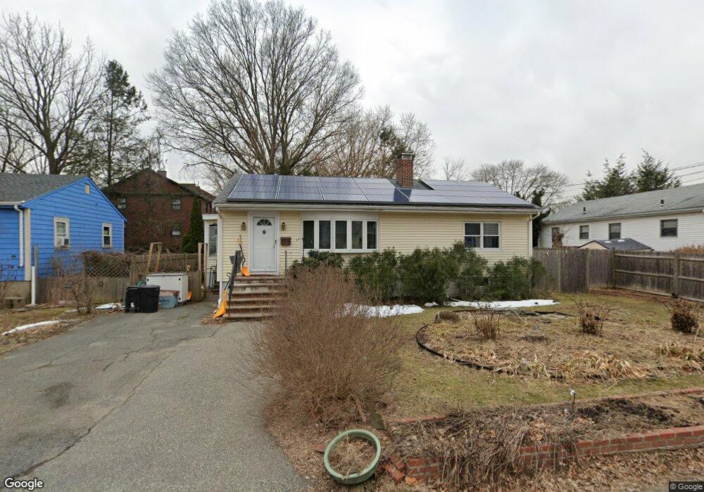
7 Gordon Rd Arlington, MA 02474
East Arlington NeighborhoodEstimated Value: $889,000 - $1,666,000
About This Home
This home is located at 7 Gordon Rd, Arlington, MA 02474 and is currently estimated at $1,196,611, approximately $767 per square foot. 7 Gordon Rd is a home located in Middlesex County with nearby schools including Thompson School, Ottoson Middle School, and Arlington High School.
Ownership History
We collect this data history from publicly available records. To have your information removed, we recommend requesting removal directly through your county’s website.
Purchase Details
Home Financials for this Owner
Home Financials are based on the most recent Mortgage that was taken out on this home.Purchase Details
Purchase Details
Home Values in the Area
Average Home Value in this Area
Purchase History
We collect this data history from publicly available records. To have your information removed, we recommend requesting removal directly through your county’s website.
| Date | Buyer | Sale Price | Title Company |
|---|---|---|---|
| $445,000 | -- | ||
| $445,000 | -- | ||
| $445,000 | -- | ||
| $392,500 | -- | ||
| $392,500 | -- | ||
| $179,000 | -- | ||
| $179,000 | -- |
Mortgage History
We collect this data history from publicly available records. To have your information removed, we recommend requesting removal directly through your county’s website.
| Date | Status | Borrower | Loan Amount |
|---|---|---|---|
| Open | $356,000 | ||
| Closed | $356,000 | ||
| Previous Owner | $171,000 |
Tax History
We collect this data history from publicly available records. To have your information removed, we recommend requesting removal directly through your county’s website.
| Year | Tax Paid | Tax Assessment Tax Assessment Total Assessment is a certain percentage of the fair market value that is determined by local assessors to be the total taxable value of land and additions on the property. | Land | Improvement |
|---|---|---|---|---|
| 2025 | $7,904 | $733,900 | $480,200 | $253,700 |
| 2024 | $7,287 | $688,100 | $456,200 | $231,900 |
| 2023 | $7,041 | $628,100 | $408,200 | $219,900 |
| 2022 | $6,619 | $579,600 | $384,200 | $195,400 |
| 2021 | $6,496 | $572,800 | $384,200 | $188,600 |
| 2020 | $6,335 | $572,800 | $384,200 | $188,600 |
| 2019 | $5,835 | $518,200 | $348,100 | $170,100 |
| 2018 | $6,067 | $500,200 | $330,100 | $170,100 |
| 2017 | $5,755 | $458,200 | $288,100 | $170,100 |
| 2016 | $5,327 | $416,200 | $246,100 | $170,100 |
| 2015 | $5,385 | $397,400 | $228,100 | $169,300 |
Map
- 142-144 Mystic Valley Pkwy
- 8 Fordham St Unit 1
- 19 Ernest Rd
- 122 Sharon St Unit 203
- 325B Alewife Brook Pkwy Unit B
- 325A Alewife Brook Pkwy Unit A
- 52 Sterling St
- 59A High St Unit A
- 23 Irvington Rd Unit 2
- 89 Cleveland St Unit 89
- 11 Sterling St
- 19 High St Unit 2
- 150 North St Unit 150
- 29 Fairfield St
- 75 Tufts St
- 44 Jerome St
- 54 Marathon St Unit 1
- 31 Sharon St
- 87 Palmer St Unit 87
- 61 North St Unit 1
- 121 N Union St
- 127 N Union St
- 134 N Union St
- 134 N Union St Unit 1
- 130 N Union St
- 115 N Union St
- 11 Gordon Rd
- 111 N Union St
- 138 N Union St
- 138 N Union St Unit 2
- 131 N Union St
- 76 Decatur St
- 7 Wheaton Rd
- 78 Decatur St
- 78 Decatur St Unit 3
- 78 Decatur St
- 70 Decatur St
- 90 Decatur St
- 109 N Union St
- 66 Decatur St
Ask me questions while you tour the home.