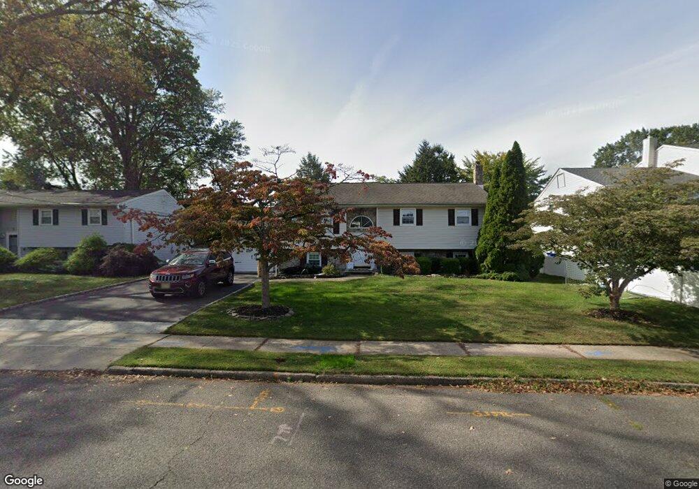
7 Locust Ave Middlesex, NJ 08846
Middlesex AreaEstimated Value: $644,817 - $719,000
About This Home
This home is located at 7 Locust Ave, Middlesex, NJ 08846 and is currently estimated at $673,954, approximately $293 per square foot. 7 Locust Ave is a home located in Middlesex County with nearby schools including Middlesex High School and Our Lady of Mount Virgin School.
Ownership History
We collect this data history from publicly available records. To have your information removed, we recommend requesting removal directly through your county’s website.
Purchase Details
Home Financials for this Owner
Home Financials are based on the most recent Mortgage that was taken out on this home.Purchase Details
Home Values in the Area
Average Home Value in this Area
Purchase History
We collect this data history from publicly available records. To have your information removed, we recommend requesting removal directly through your county’s website.
| Date | Buyer | Sale Price | Title Company |
|---|---|---|---|
| $465,000 | East Coast Title Agency | ||
| $95,100 | -- |
Mortgage History
We collect this data history from publicly available records. To have your information removed, we recommend requesting removal directly through your county’s website.
| Date | Status | Borrower | Loan Amount |
|---|---|---|---|
| Open | $435,000 |
Tax History
We collect this data history from publicly available records. To have your information removed, we recommend requesting removal directly through your county’s website.
| Year | Tax Paid | Tax Assessment Tax Assessment Total Assessment is a certain percentage of the fair market value that is determined by local assessors to be the total taxable value of land and additions on the property. | Land | Improvement |
|---|---|---|---|---|
| 2026 | $11,770 | $555,200 | $153,800 | $401,400 |
| 2025 | $11,767 | $555,200 | $153,800 | $401,400 |
| 2024 | $11,202 | $508,500 | $153,800 | $354,700 |
| 2023 | $11,202 | $508,500 | $153,800 | $354,700 |
| 2022 | $10,415 | $105,300 | $35,600 | $69,700 |
| 2021 | $7,555 | $105,300 | $35,600 | $69,700 |
| 2020 | $9,921 | $105,300 | $35,600 | $69,700 |
| 2019 | $9,653 | $105,300 | $35,600 | $69,700 |
| 2018 | $9,360 | $105,300 | $35,600 | $69,700 |
| 2017 | $9,102 | $105,300 | $35,600 | $69,700 |
| 2016 | $8,802 | $105,300 | $35,600 | $69,700 |
| 2015 | $8,616 | $105,300 | $35,600 | $69,700 |
| 2014 | $8,451 | $105,300 | $35,600 | $69,700 |
Map
- 77 Greenbrook Rd
- 36 Louis Ave
- 21 Louis Ave
- 31 Starlit Dr
- 18 Starlit Dr
- 49 Louis Ave
- 21 Starlit Dr
- 319 Edgeworth St
- 167 Barbara Place
- 31 Shearn Dr
- 154 Mulberry Ln
- 108 Howard Ave
- 8 Juniper Pointe Trail
- 8 Juniper Pointe Trail
- 917 Mountain Ave
- 146 Giles Ave
- 1028 Robin Ct
- 203 Harris Ave
- 8 Hooker Ave
- 8 Pierrepont Ave
Ask me questions while you tour the home.