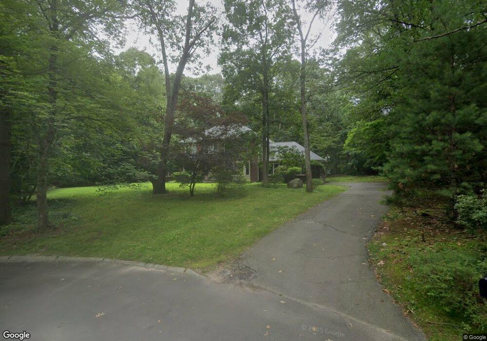
7 Lothrup Way Sharon, MA 02067
Estimated Value: $1,016,000 - $1,368,000
4
Beds
3
Baths
2,688
Sq Ft
$435/Sq Ft
Est. Value
About This Home
This home is located at 7 Lothrup Way, Sharon, MA 02067 and is currently estimated at $1,169,925, approximately $435 per square foot. 7 Lothrup Way is a home located in Norfolk County with nearby schools including Cottage Street Elementary School, Sharon Middle School, and Sharon High School.
Ownership History
Date
Name
Owned For
Owner Type
Purchase Details
Closed on
Jun 14, 2019
Sold by
Danbar Rt
Bought by
Kriegel Ruth
Current Estimated Value
Purchase Details
Closed on
Jul 15, 1996
Sold by
Eaves Ralph W and Eaves Karen E
Bought by
Danbar Rt
Purchase Details
Closed on
Aug 24, 1990
Sold by
Lovett Tr Curtis
Bought by
Eaves Ralph W
Home Financials for this Owner
Home Financials are based on the most recent Mortgage that was taken out on this home.
Original Mortgage
$308,000
Interest Rate
10.01%
Mortgage Type
Purchase Money Mortgage
Create a Home Valuation Report for This Property
The Home Valuation Report is an in-depth analysis detailing your home's value as well as a comparison with similar homes in the area
Home Values in the Area
Average Home Value in this Area
Purchase History
| Date | Buyer | Sale Price | Title Company |
|---|---|---|---|
| Kriegel Ruth | -- | -- | |
| Danbar Rt | $360,000 | -- | |
| Eaves Ralph W | $399,900 | -- |
Source: Public Records
Mortgage History
| Date | Status | Borrower | Loan Amount |
|---|---|---|---|
| Previous Owner | Eaves Ralph W | $301,800 | |
| Previous Owner | Eaves Ralph W | $308,000 |
Source: Public Records
Tax History
| Year | Tax Paid | Tax Assessment Tax Assessment Total Assessment is a certain percentage of the fair market value that is determined by local assessors to be the total taxable value of land and additions on the property. | Land | Improvement |
|---|---|---|---|---|
| 2025 | $17,137 | $980,400 | $505,600 | $474,800 |
| 2024 | $16,434 | $934,800 | $463,900 | $470,900 |
| 2023 | $15,684 | $843,700 | $433,600 | $410,100 |
| 2022 | $14,868 | $752,800 | $361,300 | $391,500 |
| 2021 | $14,736 | $721,300 | $341,000 | $380,300 |
| 2020 | $14,222 | $748,500 | $368,200 | $380,300 |
| 2019 | $14,635 | $754,000 | $352,500 | $401,500 |
| 2018 | $14,467 | $746,900 | $345,400 | $401,500 |
| 2017 | $14,211 | $724,300 | $322,800 | $401,500 |
| 2016 | $14,630 | $727,500 | $322,800 | $404,700 |
| 2015 | $13,674 | $673,600 | $285,900 | $387,700 |
| 2014 | $12,667 | $616,400 | $259,900 | $356,500 |
Source: Public Records
Map
Nearby Homes
- 11 Robs Ln
- 133 Ames St
- 15 Paul Revere Rd
- 11 Wilshire Dr
- 63 Highland St
- 58 Ames St
- 42 Glendale Rd
- 61 Lincoln Rd
- 22 Ames Ct
- 31 Spring Ln
- 29 Station St
- 48 Spring Ln
- 136 N Main St
- 3 Trowel Shop Pond Rd Unit 3
- 20 Trowel Shop Pond Rd Unit 24
- 16 Trowel Shop Pond Rd Unit 16
- 8 Trowel Shop Pond Rd Unit 8
- 2 Trowel Shop Pond Rd Unit 2
- 12 Trowel Shop Pond Rd Unit 12
- 24 Trowel Shop Pond Rd Unit 24
- 5 Lothrup Way
- 15 Knife Shop Ln
- 12 Knife Shop Ln
- 8 Lothrup Way
- 6 Lothrup Way
- 43 Deborah Sampson St
- 35 Deborah Sampson St
- 200 East St
- 4 Lothrup Way
- 29 Deborah Sampson St
- 170 East St
- 194 East St
- 196 East St
- 25 Deborah Sampson St
- 51 Deborah Sampson St
- 11 Knife Shop Ln
- 182 East St
- 8 Knife Shop Ln
- 21 Deborah Sampson St
- 16 Manns Hill Crescent
Your Personal Tour Guide
Ask me questions while you tour the home.