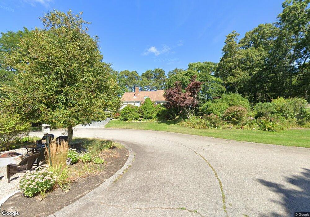
7 Mcelway Rd Harwich, MA 02645
Northwest Harwich NeighborhoodEstimated Value: $952,000 - $1,113,000
3
Beds
2
Baths
1,201
Sq Ft
$844/Sq Ft
Est. Value
About This Home
This home is located at 7 Mcelway Rd, Harwich, MA 02645 and is currently estimated at $1,013,194, approximately $843 per square foot. 7 Mcelway Rd is a home located in Barnstable County with nearby schools including Harwich Elementary School, Chatham Elementary School, and Monomoy Regional Middle School.
Ownership History
Date
Name
Owned For
Owner Type
Purchase Details
Closed on
Jun 25, 2004
Sold by
Barthelmeus Jay D and Barthelmeus Karen E
Bought by
Roache Joseph P and Roache Marilyn
Current Estimated Value
Home Financials for this Owner
Home Financials are based on the most recent Mortgage that was taken out on this home.
Original Mortgage
$340,000
Outstanding Balance
$166,097
Interest Rate
6.32%
Mortgage Type
Purchase Money Mortgage
Estimated Equity
$847,097
Purchase Details
Closed on
Jun 18, 1991
Sold by
Boy Everett W
Bought by
Barthelmeus Jay D and Barthelmeus Karen E
Create a Home Valuation Report for This Property
The Home Valuation Report is an in-depth analysis detailing your home's value as well as a comparison with similar homes in the area
Home Values in the Area
Average Home Value in this Area
Purchase History
| Date | Buyer | Sale Price | Title Company |
|---|---|---|---|
| Roache Joseph P | $499,000 | -- | |
| Barthelmeus Jay D | $150,000 | -- |
Source: Public Records
Mortgage History
| Date | Status | Borrower | Loan Amount |
|---|---|---|---|
| Open | Roache Joseph P | $340,000 | |
| Previous Owner | Barthelmeus Jay D | $350,000 | |
| Previous Owner | Barthelmeus Jay D | $88,000 | |
| Previous Owner | Barthelmeus Jay D | $80,000 |
Source: Public Records
Tax History
| Year | Tax Paid | Tax Assessment Tax Assessment Total Assessment is a certain percentage of the fair market value that is determined by local assessors to be the total taxable value of land and additions on the property. | Land | Improvement |
|---|---|---|---|---|
| 2025 | $5,458 | $923,500 | $463,800 | $459,700 |
| 2024 | $5,141 | $852,500 | $437,500 | $415,000 |
| 2023 | $4,983 | $750,500 | $397,700 | $352,800 |
| 2022 | $4,211 | $519,200 | $247,100 | $272,100 |
| 2021 | $3,443 | $400,400 | $161,700 | $238,700 |
| 2020 | $3,445 | $394,600 | $159,900 | $234,700 |
| 2019 | $3,230 | $372,600 | $153,700 | $218,900 |
| 2018 | $3,284 | $362,300 | $139,700 | $222,600 |
| 2017 | $2,957 | $329,600 | $121,100 | $208,500 |
| 2016 | $2,908 | $320,600 | $121,100 | $199,500 |
| 2015 | $2,802 | $312,400 | $118,700 | $193,700 |
| 2014 | $2,608 | $297,400 | $121,200 | $176,200 |
Source: Public Records
Map
Nearby Homes
- 359 Great Western Rd
- 18 Old Campground
- 13 Allen St
- 26 Ryder Rd
- 4 Chloe's Path
- 2 Englewood Dr Unit A5
- 2 Englewood Dr Unit A5
- 13 Pepper Ln
- 20 Harold St
- 22 Harold St
- 9 Bentley Rd
- 10 Notre Dame Ave
- 1 Bentley Rd
- 7 Bentley Rd
- 14 Harold St Unit 14E
- 14 Harold St Unit 6F
- 14 Harold St Unit 14E
- 5 Bentley Rd
- 3 Bentley Rd
- 33 Old Colony Rd
Your Personal Tour Guide
Ask me questions while you tour the home.