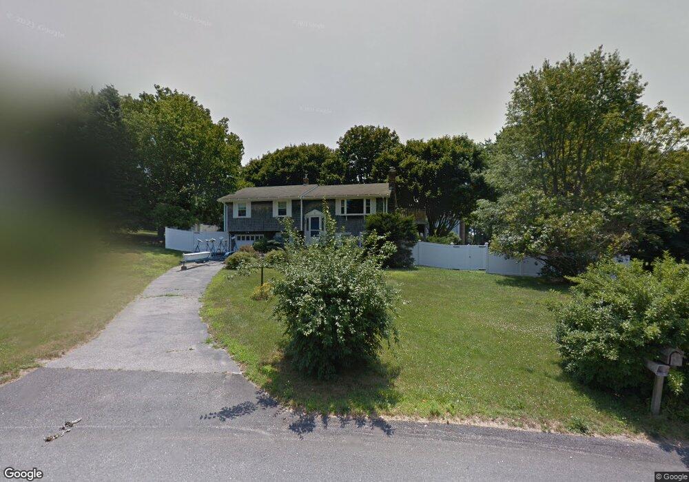
7 Osage Dr Middletown, RI 02842
Estimated Value: $662,000 - $804,000
About This Home
This home is located at 7 Osage Dr, Middletown, RI 02842 and is currently estimated at $732,897, approximately $351 per square foot. 7 Osage Dr is a home located in Newport County with nearby schools including Middletown High School, All Saints STEAM Academy, and The Pennfield School.
Ownership History
We collect this data history from publicly available records. To have your information removed, we recommend requesting removal directly through your county’s website.
Purchase Details
Home Financials for this Owner
Home Financials are based on the most recent Mortgage that was taken out on this home.Purchase Details
Purchase Details
Home Values in the Area
Average Home Value in this Area
Purchase History
We collect this data history from publicly available records. To have your information removed, we recommend requesting removal directly through your county’s website.
| Date | Buyer | Sale Price | Title Company |
|---|---|---|---|
| $402,000 | -- | ||
| $316,000 | -- | ||
| $165,000 | -- |
Mortgage History
We collect this data history from publicly available records. To have your information removed, we recommend requesting removal directly through your county’s website.
| Date | Status | Borrower | Loan Amount |
|---|---|---|---|
| Open | $225,000 | ||
| Closed | $25,000 | ||
| Closed | $321,600 |
Tax History
We collect this data history from publicly available records. To have your information removed, we recommend requesting removal directly through your county’s website.
| Year | Tax Paid | Tax Assessment Tax Assessment Total Assessment is a certain percentage of the fair market value that is determined by local assessors to be the total taxable value of land and additions on the property. | Land | Improvement |
|---|---|---|---|---|
| 2025 | $6,813 | $577,900 | $379,400 | $198,500 |
| 2024 | $6,507 | $577,900 | $379,400 | $198,500 |
| 2023 | $5,400 | $428,900 | $276,700 | $152,200 |
| 2022 | $5,155 | $428,900 | $276,700 | $152,200 |
| 2021 | $5,155 | $428,900 | $276,700 | $152,200 |
| 2020 | $5,024 | $365,100 | $212,900 | $152,200 |
| 2018 | $5,020 | $365,100 | $212,900 | $152,200 |
| 2016 | $4,993 | $323,800 | $193,500 | $130,300 |
| 2015 | $4,870 | $323,800 | $193,500 | $130,300 |
| 2014 | $4,897 | $304,700 | $176,000 | $128,700 |
| 2013 | $4,787 | $304,700 | $176,000 | $128,700 |
Map
- 23 Algonquin Dr
- 37 Squantum Dr
- 32 J h Dwyer Dr
- 1505 Fairway Dr
- 20 Namquid Dr
- 49 Harvest Rd
- 10 J h Dwyer Dr
- 1609 W Main Rd
- 6 J h Dwyer Dr
- 20 Samson Ln
- 188 Greene Ln
- 136 Corporate Place
- 14 Barton Ln
- 15 Casey Dr
- 314 Chases Ln Unit D
- 314 Chases Ln Unit C
- 43 Bluegrass Dr
- 32 James Francis Terrace
- 0 Revolution Way
- 206 Revolution Way
Ask me questions while you tour the home.