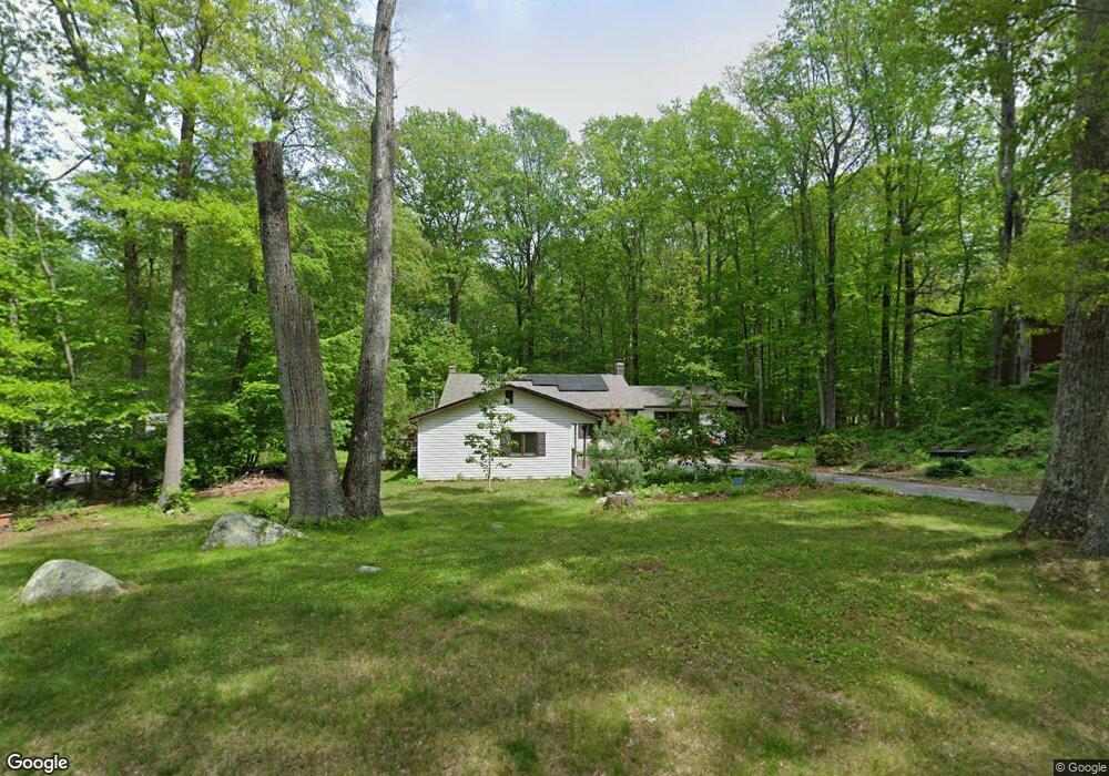
7 Osprey Dr Gales Ferry, CT 06335
Estimated Value: $495,893 - $555,000
5
Beds
4
Baths
2,090
Sq Ft
$248/Sq Ft
Est. Value
About This Home
This home is located at 7 Osprey Dr, Gales Ferry, CT 06335 and is currently estimated at $517,473, approximately $247 per square foot. 7 Osprey Dr is a home located in New London County with nearby schools including Ledyard Middle School, Ledyard High School, and Academy Of St Therese.
Ownership History
Date
Name
Owned For
Owner Type
Purchase Details
Closed on
Mar 9, 2000
Sold by
Droppleman David A and Droppleman Patricia I
Bought by
Koerting Claudia P
Current Estimated Value
Purchase Details
Closed on
Jun 29, 1994
Sold by
Currier Richard D and Currier Joan
Bought by
Droppleman David A and Droppleman Patricia
Create a Home Valuation Report for This Property
The Home Valuation Report is an in-depth analysis detailing your home's value as well as a comparison with similar homes in the area
Home Values in the Area
Average Home Value in this Area
Purchase History
| Date | Buyer | Sale Price | Title Company |
|---|---|---|---|
| Koerting Claudia P | $180,000 | -- | |
| Droppleman David A | $152,000 | -- |
Source: Public Records
Mortgage History
| Date | Status | Borrower | Loan Amount |
|---|---|---|---|
| Open | Droppleman David A | $59,500 | |
| Open | Droppleman David A | $137,000 | |
| Closed | Droppleman David A | $25,000 |
Source: Public Records
Tax History
| Year | Tax Paid | Tax Assessment Tax Assessment Total Assessment is a certain percentage of the fair market value that is determined by local assessors to be the total taxable value of land and additions on the property. | Land | Improvement |
|---|---|---|---|---|
| 2025 | $7,233 | $194,740 | $52,920 | $141,820 |
| 2024 | $6,857 | $194,740 | $52,920 | $141,820 |
| 2023 | $6,730 | $194,740 | $52,920 | $141,820 |
| 2022 | $6,586 | $194,740 | $52,920 | $141,820 |
| 2021 | $6,543 | $194,740 | $52,920 | $141,820 |
| 2020 | $6,541 | $187,040 | $55,370 | $131,670 |
| 2019 | $6,558 | $187,040 | $55,370 | $131,670 |
| 2018 | $6,414 | $187,040 | $55,370 | $131,670 |
| 2017 | $6,086 | $187,040 | $55,370 | $131,670 |
| 2016 | $5,967 | $187,040 | $55,370 | $131,670 |
| 2015 | $5,686 | $187,040 | $55,370 | $131,670 |
| 2014 | $5,852 | $195,720 | $55,370 | $140,350 |
Source: Public Records
Map
Nearby Homes
- 932 Long Cove Rd Unit LOT 4
- 1010 Long Cove Rd Unit LOT 17
- 25 Marty's Way
- 1513 Connecticut 12
- 82 Christy Hill Rd
- 18 Marty's Way
- 17 Patricia Ct
- 1581 Route 12
- 4 Amber Cir
- 1661 Center Groton Rd
- 59 Kings Hwy Unit 5
- 125 Murphys Dr Unit 125
- 0 Briar Hill Rd Unit 24148389
- 14 Anderson Dr
- 1866 Center Groton Rd
- 183 Whalehead Rd
- 31 Pegasus Dr
- 1637 Connecticut 12
- 1459 Gold Star Hwy
- 322 Virgo Dr
Your Personal Tour Guide
Ask me questions while you tour the home.