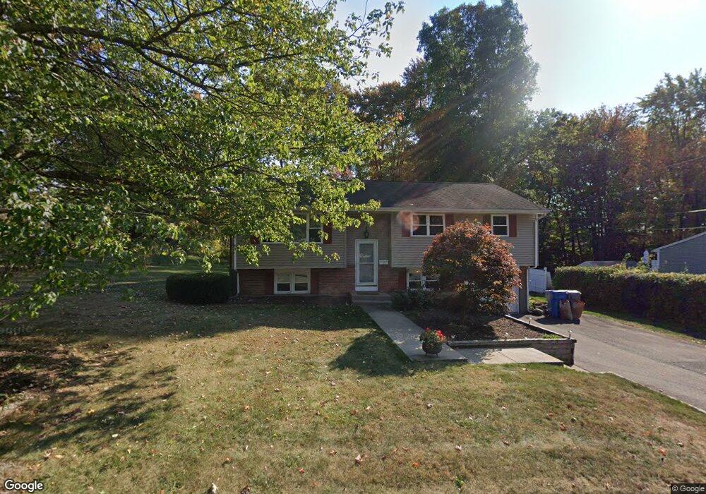
7 Osullivan Dr Bristol, CT 06010
Forestville NeighborhoodEstimated Value: $278,000 - $362,600
About This Home
This home is located at 7 Osullivan Dr, Bristol, CT 06010 and is currently estimated at $324,150, approximately $286 per square foot. 7 Osullivan Dr is a home located in Hartford County with nearby schools including Northeast Middle School, Bristol Eastern High School, and St Matthew School.
Ownership History
We collect this data history from publicly available records. To have your information removed, we recommend requesting removal directly through your county’s website.
Purchase Details
Home Values in the Area
Average Home Value in this Area
Purchase History
We collect this data history from publicly available records. To have your information removed, we recommend requesting removal directly through your county’s website.
| Date | Buyer | Sale Price | Title Company |
|---|---|---|---|
| $75,000 | -- |
Mortgage History
We collect this data history from publicly available records. To have your information removed, we recommend requesting removal directly through your county’s website.
| Date | Status | Borrower | Loan Amount |
|---|---|---|---|
| Open | $136,000 | ||
| Closed | $136,000 | ||
| Closed | $170,200 | ||
| Closed | $142,500 | ||
| Closed | $127,500 | ||
| Closed | $19,917 |
Tax History
We collect this data history from publicly available records. To have your information removed, we recommend requesting removal directly through your county’s website.
| Year | Tax Paid | Tax Assessment Tax Assessment Total Assessment is a certain percentage of the fair market value that is determined by local assessors to be the total taxable value of land and additions on the property. | Land | Improvement |
|---|---|---|---|---|
| 2025 | $5,781 | $171,290 | $39,690 | $131,600 |
| 2024 | $5,458 | $171,360 | $39,690 | $131,670 |
| 2023 | $5,201 | $171,360 | $39,690 | $131,670 |
| 2022 | $4,776 | $124,530 | $32,200 | $92,330 |
| 2021 | $4,776 | $124,530 | $32,200 | $92,330 |
| 2020 | $4,776 | $124,530 | $32,200 | $92,330 |
| 2019 | $4,738 | $124,530 | $32,200 | $92,330 |
| 2018 | $4,593 | $124,530 | $32,200 | $92,330 |
| 2017 | $4,270 | $118,510 | $40,040 | $78,470 |
| 2016 | $4,270 | $118,510 | $40,040 | $78,470 |
| 2015 | $4,102 | $118,510 | $40,040 | $78,470 |
| 2014 | $4,102 | $118,510 | $40,040 | $78,470 |
Map
- 108 Glenwood Dr
- 28 Beechwood Rd
- 31 Beechwood Rd
- 230 Westwoods Terrace
- 30 Sheila Ct Unit 25
- 127 Songbird Ln Unit 127
- 111 Songbird Ln
- 1469 Farmington Ave Unit 46
- 1325 Farmington Ave Unit 7
- 5 Farmington Chase Crescent
- 6 Saw Mill Ln Unit 6
- 513 Stafford Ave
- 87 Farmington Chase Crescent Unit 87
- 9 Westchester Dr
- 379 Washington St
- 7 Bradley St Unit 19
- 36 Jacqueline Dr
- 27 Matilda Dr
- 42 Morningside Dr W
- 428 Washington St
Ask me questions while you tour the home.