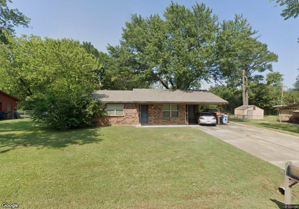
7 Pamela Ln Conway, AR 72032
East Conway NeighborhoodEstimated Value: $166,000 - $193,000
Studio
2
Baths
1,266
Sq Ft
$140/Sq Ft
Est. Value
About This Home
This home is located at 7 Pamela Ln, Conway, AR 72032 and is currently estimated at $177,873, approximately $140 per square foot. 7 Pamela Ln is a home located in Faulkner County with nearby schools including Theodore Jones Elementary School, Conway Junior High School, and Conway High School.
Ownership History
Date
Name
Owned For
Owner Type
Purchase Details
Closed on
Nov 7, 2025
Sold by
Bowman Clayton A
Bought by
Malott Stephen and Malott Cris
Current Estimated Value
Purchase Details
Closed on
May 6, 2005
Bought by
Bowman
Home Financials for this Owner
Home Financials are based on the most recent Mortgage that was taken out on this home.
Original Mortgage
$64,950
Interest Rate
5.75%
Mortgage Type
Adjustable Rate Mortgage/ARM
Purchase Details
Closed on
May 4, 2005
Sold by
Sims James Ryan and Sims Kenna
Bought by
Bowman Clayton A
Home Financials for this Owner
Home Financials are based on the most recent Mortgage that was taken out on this home.
Original Mortgage
$64,950
Interest Rate
5.75%
Mortgage Type
Adjustable Rate Mortgage/ARM
Purchase Details
Closed on
May 27, 1999
Bought by
Morris
Create a Home Valuation Report for This Property
The Home Valuation Report is an in-depth analysis detailing your home's value as well as a comparison with similar homes in the area
Home Values in the Area
Average Home Value in this Area
Purchase History
| Date | Buyer | Sale Price | Title Company |
|---|---|---|---|
| Malott Stephen | $15,000 | Faulkner County Title Company | |
| Bowman | $65,000 | -- | |
| Bowman Clayton A | $65,000 | Conway Title Service | |
| Bowman | $65,000 | -- | |
| Morris | -- | -- | |
| Sims | -- | -- |
Source: Public Records
Mortgage History
| Date | Status | Borrower | Loan Amount |
|---|---|---|---|
| Previous Owner | Bowman Clayton A | $64,950 |
Source: Public Records
Tax History
| Year | Tax Paid | Tax Assessment Tax Assessment Total Assessment is a certain percentage of the fair market value that is determined by local assessors to be the total taxable value of land and additions on the property. | Land | Improvement |
|---|---|---|---|---|
| 2025 | $1,193 | $30,800 | $3,600 | $27,200 |
| 2024 | $1,139 | $30,800 | $3,600 | $27,200 |
| 2023 | $1,085 | $21,440 | $3,600 | $17,840 |
| 2022 | $663 | $21,440 | $3,600 | $17,840 |
| 2021 | $616 | $21,440 | $3,600 | $17,840 |
| 2020 | $569 | $18,660 | $3,600 | $15,060 |
| 2019 | $569 | $18,660 | $3,600 | $15,060 |
| 2018 | $594 | $18,660 | $3,600 | $15,060 |
| 2017 | $594 | $18,660 | $3,600 | $15,060 |
| 2016 | $594 | $18,660 | $3,600 | $15,060 |
| 2015 | $998 | $19,730 | $3,600 | $16,130 |
| 2014 | $648 | $19,730 | $3,600 | $16,130 |
Source: Public Records
Map
Nearby Homes
- 2510 E Oak St
- 2515 E Oak St
- 00 Museum Rd
- 1510 Freyaldenhoven Ln
- 2485 E Oak St
- 00 Fourth Ave
- 1200 Andrews Dr
- 723 3rd Ave
- 1225 Bird Song Dr
- 575 5th Ave
- 2.2 Acres Amity Rd
- 440 Bernard Dr
- 325 Hereford St
- 405 Angus St
- 2020 Mary Alice Dr
- 000 E German Ln
- 2080 Mary Alice Dr
- 2275 Victory Ln
- 508 Ingram St
- 1315 Factory St
Your Personal Tour Guide
Ask me questions while you tour the home.