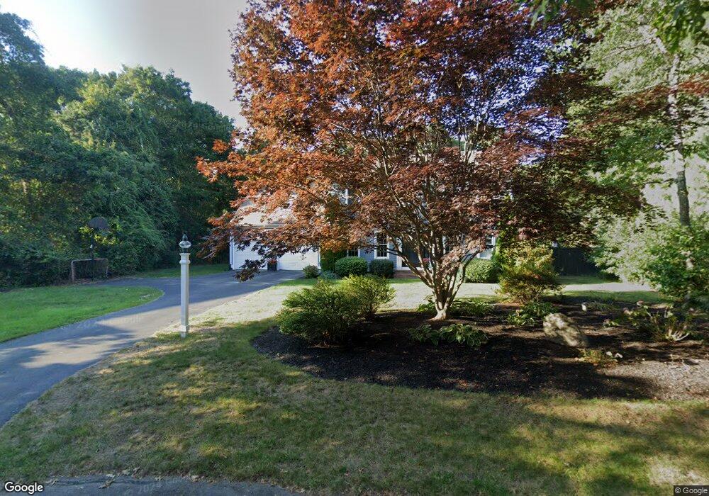
7 Pine Tree Cir Sandwich, MA 02563
Estimated Value: $788,000 - $953,000
About This Home
This home is located at 7 Pine Tree Cir, Sandwich, MA 02563 and is currently estimated at $841,440, approximately $349 per square foot. 7 Pine Tree Cir is a home located in Barnstable County with nearby schools including Sandwich Middle High School and Sandwich Montessori School.
Ownership History
We collect this data history from publicly available records. To have your information removed, we recommend requesting removal directly through your county’s website.
Purchase Details
Purchase Details
Purchase Details
Purchase History
We collect this data history from publicly available records. To have your information removed, we recommend requesting removal directly through your county’s website.
| Date | Buyer | Sale Price | Title Company |
|---|---|---|---|
| -- | -- | ||
| $202,153 | -- | ||
| $45,000 | -- |
Mortgage History
We collect this data history from publicly available records. To have your information removed, we recommend requesting removal directly through your county’s website.
| Date | Status | Borrower | Loan Amount |
|---|---|---|---|
| Previous Owner | $290,500 | ||
| Previous Owner | $75,000 |
Tax History
We collect this data history from publicly available records. To have your information removed, we recommend requesting removal directly through your county’s website.
| Year | Tax Paid | Tax Assessment Tax Assessment Total Assessment is a certain percentage of the fair market value that is determined by local assessors to be the total taxable value of land and additions on the property. | Land | Improvement |
|---|---|---|---|---|
| 2025 | $7,725 | $730,800 | $164,600 | $566,200 |
| 2024 | $7,642 | $707,600 | $147,000 | $560,600 |
| 2023 | $7,483 | $650,700 | $133,700 | $517,000 |
| 2022 | $6,951 | $528,200 | $119,300 | $408,900 |
| 2021 | $6,616 | $480,500 | $114,700 | $365,800 |
| 2020 | $6,711 | $469,000 | $118,000 | $351,000 |
| 2019 | $6,357 | $443,900 | $115,800 | $328,100 |
| 2018 | $6,010 | $420,600 | $111,800 | $308,800 |
| 2017 | $5,909 | $395,800 | $108,200 | $287,600 |
| 2016 | $5,664 | $391,400 | $107,100 | $284,300 |
| 2015 | $5,563 | $375,400 | $96,500 | $278,900 |
Map
- 2 Fairway Cir
- 4 Gimme Cir Unit Lot1
- 107 Reflection Dr
- 4 Tamarack Ln
- 24 Moon Compass Ln
- 25 Moon Compass Ln
- 3 Glenwood Ln
- 114 Long Pond Rd
- 296 Meiggs Backus Rd
- 4 Bourne Hay Rd
- 10 Open Space Dr
- 3 Ground Cover Ln
- 36 Sconset Cir
- 10 Wintergreen Ln
- 4 Ryder Cir
- 1 Katies Way
- 23 Asa Meiggs Rd
- 42 Hamblins Hayway
- 168 White Moss Dr
- 45 Eastview Terrace
- 5 Pine Tree Cir
- 8 Pine Tree Cir
- 6 Fairway Cir
- 6 Pine Tree Cir
- 3 Pine Tree Cir
- 10 Inkberry Cir
- 8 Fairway Cir
- 4 Pine Tree Cir
- 4 Fairway Cir
- 8 Greenview Cir
- 8 Inkberry Cir
- 10 Greenview Cir
- 7 Inkberry Cir
- 1 Pine Tree Cir
- 45 Holly Ridge Dr
- 9 Bunker Cir
- 7 Bunker Cir
- 9 Fairway Cir
- 47 Holly Ridge Dr
- 6 Greenview Cir
Ask me questions while you tour the home.