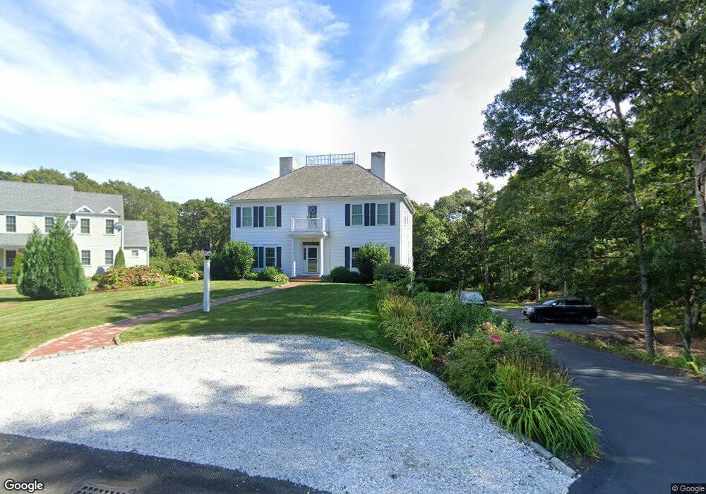
7 Red Cedar Cir Dennis, MA 02638
Dennis Village NeighborhoodEstimated Value: $1,400,000 - $1,564,000
4
Beds
5
Baths
3,950
Sq Ft
$378/Sq Ft
Est. Value
About This Home
This home is located at 7 Red Cedar Cir, Dennis, MA 02638 and is currently estimated at $1,492,032, approximately $377 per square foot. 7 Red Cedar Cir is a home located in Barnstable County with nearby schools including Dennis-Yarmouth Regional High School.
Ownership History
Date
Name
Owned For
Owner Type
Purchase Details
Closed on
Mar 22, 2013
Sold by
Deluga Paula M
Bought by
Kudarauskas
Current Estimated Value
Purchase Details
Closed on
May 16, 1996
Sold by
Vandel Corp
Bought by
Deluga Chester J and Deluga Paula M
Home Financials for this Owner
Home Financials are based on the most recent Mortgage that was taken out on this home.
Original Mortgage
$75,000
Interest Rate
7.77%
Mortgage Type
Purchase Money Mortgage
Create a Home Valuation Report for This Property
The Home Valuation Report is an in-depth analysis detailing your home's value as well as a comparison with similar homes in the area
Home Values in the Area
Average Home Value in this Area
Purchase History
| Date | Buyer | Sale Price | Title Company |
|---|---|---|---|
| Kudarauskas | $625,000 | -- | |
| Kudarauskas | $625,000 | -- | |
| Deluga Chester J | $18,000 | -- | |
| Deluga Chester J | $18,000 | -- |
Source: Public Records
Mortgage History
| Date | Status | Borrower | Loan Amount |
|---|---|---|---|
| Previous Owner | Deluga Chester J | $50,000 | |
| Previous Owner | Deluga Chester J | $75,000 | |
| Closed | Kudarauskas | $0 |
Source: Public Records
Tax History
| Year | Tax Paid | Tax Assessment Tax Assessment Total Assessment is a certain percentage of the fair market value that is determined by local assessors to be the total taxable value of land and additions on the property. | Land | Improvement |
|---|---|---|---|---|
| 2025 | $5,033 | $1,162,400 | $144,500 | $1,017,900 |
| 2024 | $5,373 | $1,224,000 | $139,000 | $1,085,000 |
| 2023 | $5,197 | $1,112,900 | $126,300 | $986,600 |
| 2022 | $4,791 | $855,600 | $113,800 | $741,800 |
| 2021 | $4,506 | $747,300 | $111,600 | $635,700 |
| 2020 | $4,432 | $726,500 | $148,800 | $577,700 |
| 2019 | $4,603 | $746,000 | $182,300 | $563,700 |
| 2018 | $4,252 | $670,600 | $173,600 | $497,000 |
| 2017 | $4,195 | $682,100 | $185,100 | $497,000 |
| 2016 | $4,049 | $620,100 | $196,700 | $423,400 |
| 2015 | $3,836 | $599,400 | $177,000 | $422,400 |
| 2014 | $4,121 | $649,000 | $177,000 | $472,000 |
Source: Public Records
Map
Nearby Homes
- 39 Whittier Dr
- 26 S West Dr
- 268 Main St
- 59 Main St Unit 19-2
- 59 Route 6a Unit 29-4
- 14 S Yarmouth Rd
- 568 Route 6a
- 59 Massachusetts 6a Unit 19-2
- 6 Thomas Ct
- 15 Signal Hill Dr
- 35 Crown Grant Dr
- 32 Captain Walsh Dr
- 930 Old Bass River Rd
- 480 Main St
- 16 Hazelwood Rd
- 10 Uncle Bills Way
- 20 Bray Farm Rd S
- 645 Main St Back Lot
- 52 Uncle Bobs Way
- 61 Terrace Hill Dr
- 8 Red Cedar Cir
- 9 Red Cedar Cir
- 3 Red Cedar Cir
- 5 Red Cedar Cir
- 6 Red Cedar Cir
- 110 Village Green
- 4 Red Cedar Cir
- 1 Red Cedar Cir
- 34 Village Green
- 35 Village Green
- 5 Match Point
- 33 Village Green
- 7 Match Point
- 83 Village Green
- 31 Village Green
- 8 Match Point
- 41 Billingsgate Rd
- 157 Whittier Dr
- 157A Whittier Dr
- 2 Match Point
Your Personal Tour Guide
Ask me questions while you tour the home.