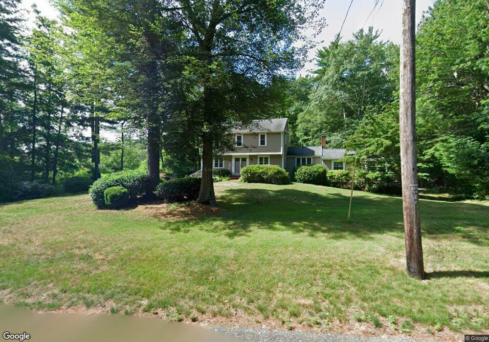
7 S River Ln E Duxbury, MA 02332
Estimated Value: $1,074,562 - $1,241,000
4
Beds
3
Baths
2,436
Sq Ft
$474/Sq Ft
Est. Value
About This Home
This home is located at 7 S River Ln E, Duxbury, MA 02332 and is currently estimated at $1,153,641, approximately $473 per square foot. 7 S River Ln E is a home located in Plymouth County with nearby schools including Chandler Elementary School, Alden School, and Duxbury Middle School.
Ownership History
Date
Name
Owned For
Owner Type
Purchase Details
Closed on
Mar 26, 2007
Sold by
Antons Ilze K
Bought by
Bownes Kevin J and Bownes Nancy J
Current Estimated Value
Home Financials for this Owner
Home Financials are based on the most recent Mortgage that was taken out on this home.
Original Mortgage
$385,000
Interest Rate
6.33%
Mortgage Type
Purchase Money Mortgage
Purchase Details
Closed on
Jun 23, 2003
Sold by
Quinlan Nt and Sichko Samuel C
Bought by
Antons Ilze K
Create a Home Valuation Report for This Property
The Home Valuation Report is an in-depth analysis detailing your home's value as well as a comparison with similar homes in the area
Home Values in the Area
Average Home Value in this Area
Purchase History
| Date | Buyer | Sale Price | Title Company |
|---|---|---|---|
| Bownes Kevin J | $585,000 | -- | |
| Antons Ilze K | $560,000 | -- |
Source: Public Records
Mortgage History
| Date | Status | Borrower | Loan Amount |
|---|---|---|---|
| Open | Antons Ilze K | $383,000 | |
| Closed | Antons Ilze K | $383,000 | |
| Closed | Antons Ilze K | $385,000 |
Source: Public Records
Tax History
| Year | Tax Paid | Tax Assessment Tax Assessment Total Assessment is a certain percentage of the fair market value that is determined by local assessors to be the total taxable value of land and additions on the property. | Land | Improvement |
|---|---|---|---|---|
| 2025 | $9,196 | $906,900 | $497,500 | $409,400 |
| 2024 | $8,775 | $872,300 | $475,500 | $396,800 |
| 2023 | $8,691 | $813,000 | $510,400 | $302,600 |
| 2022 | $7,722 | $601,400 | $324,300 | $277,100 |
| 2021 | $8,270 | $571,100 | $312,800 | $258,300 |
| 2020 | $8,064 | $550,100 | $283,600 | $266,500 |
| 2019 | $7,935 | $540,500 | $263,400 | $277,100 |
| 2018 | $7,803 | $514,700 | $248,800 | $265,900 |
| 2017 | $7,819 | $504,100 | $248,800 | $255,300 |
| 2016 | $7,675 | $493,600 | $238,300 | $255,300 |
| 2015 | $7,143 | $457,900 | $202,600 | $255,300 |
Source: Public Records
Map
Nearby Homes
- 289 Congress St
- 757 West St
- 225 Lincoln St Unit D8
- 550 West St
- 4 Fieldstone Farm Way
- 5 Snowy Owl Cir
- 33 Herring Weir Rd
- 677 Temple St
- 615 Keene St
- 225 Church St
- 3 Harlow Brook Way Unit 3
- 2 Harlow Brook Way Unit 2
- 46 Duxborough Trail
- 965 Temple St
- 66 Simmons Dr
- 152 Acorn St
- 184 King Phillips Pathe
- 412 Moraine St
- 45 Red Gold Farm Rd
- 599 Moraine St
- 14 S River Ln E
- 77 Plantation Dr
- 107 Plantation Dr
- 78 Plantation Dr
- 63 Plantation Dr
- 108 Plantation Dr
- 300 Congress St
- 117 Plantation Dr
- 118 Plantation Dr
- 298 Congress St
- 20 S River Ln W
- 54 Plantation Dr
- 33 Plantation Dr
- 129 Plantation Dr
- 35 S River Ln W
- 42 Plantation Dr
- 296 Congress St
- 140 Plantation Dr
- 40 S River Ln W
- 19 Plantation Dr
Your Personal Tour Guide
Ask me questions while you tour the home.