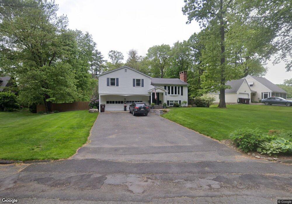
7 Surrey Ln Westfield, MA 01085
Estimated Value: $432,000 - $472,000
3
Beds
3
Baths
1,668
Sq Ft
$272/Sq Ft
Est. Value
About This Home
This home is located at 7 Surrey Ln, Westfield, MA 01085 and is currently estimated at $453,137, approximately $271 per square foot. 7 Surrey Ln is a home located in Hampden County with nearby schools including Westfield High School and Saint Mary High School.
Ownership History
Date
Name
Owned For
Owner Type
Purchase Details
Closed on
Nov 13, 2009
Sold by
Oleksak Gerald M and Oleksak Michelle A
Bought by
James Seth W and James Loretta L
Current Estimated Value
Home Financials for this Owner
Home Financials are based on the most recent Mortgage that was taken out on this home.
Original Mortgage
$242,000
Outstanding Balance
$157,855
Interest Rate
4.98%
Mortgage Type
Purchase Money Mortgage
Estimated Equity
$295,282
Purchase Details
Closed on
Sep 29, 2006
Sold by
Callow Paul L and Mcmahon Megan J
Bought by
Oleksak Gerald M and Oleksak Michelle A
Home Financials for this Owner
Home Financials are based on the most recent Mortgage that was taken out on this home.
Original Mortgage
$179,500
Interest Rate
6.52%
Mortgage Type
Purchase Money Mortgage
Purchase Details
Closed on
Jul 20, 1990
Sold by
Degidio Dennis P
Bought by
Callow Paul L
Purchase Details
Closed on
Nov 30, 1988
Sold by
Perry James D
Bought by
Degidio Dennis P
Create a Home Valuation Report for This Property
The Home Valuation Report is an in-depth analysis detailing your home's value as well as a comparison with similar homes in the area
Home Values in the Area
Average Home Value in this Area
Purchase History
| Date | Buyer | Sale Price | Title Company |
|---|---|---|---|
| James Seth W | $302,500 | -- | |
| Oleksak Gerald M | $289,500 | -- | |
| Callow Paul L | $174,000 | -- | |
| Degidio Dennis P | $177,000 | -- |
Source: Public Records
Mortgage History
| Date | Status | Borrower | Loan Amount |
|---|---|---|---|
| Open | James Seth W | $242,000 | |
| Previous Owner | Degidio Dennis P | $187,700 | |
| Previous Owner | Oleksak Gerald M | $179,500 | |
| Previous Owner | Degidio Dennis P | $116,200 | |
| Previous Owner | Degidio Dennis P | $131,200 |
Source: Public Records
Tax History
| Year | Tax Paid | Tax Assessment Tax Assessment Total Assessment is a certain percentage of the fair market value that is determined by local assessors to be the total taxable value of land and additions on the property. | Land | Improvement |
|---|---|---|---|---|
| 2025 | $5,852 | $385,500 | $132,800 | $252,700 |
| 2024 | $5,960 | $373,200 | $120,500 | $252,700 |
| 2023 | $5,746 | $338,400 | $114,800 | $223,600 |
| 2022 | $5,564 | $300,900 | $102,600 | $198,300 |
| 2021 | $5,394 | $285,700 | $96,300 | $189,400 |
| 2020 | $5,240 | $272,200 | $96,300 | $175,900 |
| 2019 | $5,140 | $261,300 | $92,100 | $169,200 |
| 2018 | $5,059 | $261,300 | $92,100 | $169,200 |
| 2017 | $4,962 | $255,500 | $93,000 | $162,500 |
| 2016 | $4,967 | $255,500 | $93,000 | $162,500 |
| 2015 | $4,900 | $264,300 | $93,000 | $171,300 |
| 2014 | $3,667 | $264,300 | $93,000 | $171,300 |
Source: Public Records
Map
Nearby Homes
- 0 Fox Hill Dr
- 324 Russell Rd Unit 204
- 324 Russell Rd Unit 109
- 42 Putnam Dr
- 26 Hayre St
- 44 Llewellyn Dr
- 145 Honey Pot Rd
- 74 S Maple St
- 70 S Maple St
- 32 Allen Ave
- 40 Hawks Cir
- 16 Squawfield Rd
- 240 Hillside Rd
- 42R Jefferson St
- 25 Tannery Rd Unit 6A
- 7 Washington St
- 2 Sugar Maple Ln
- 44 Tannery Rd
- 19 Kellogg St
- 112 Sunnyside Rd
Your Personal Tour Guide
Ask me questions while you tour the home.