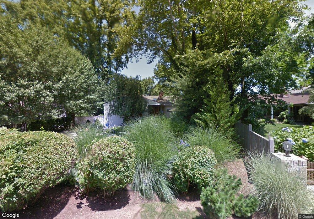
7 Top Sail Rd Norwalk, CT 06853
Rowayton NeighborhoodEstimated Value: $1,812,000 - $2,910,000
3
Beds
3
Baths
1,767
Sq Ft
$1,253/Sq Ft
Est. Value
About This Home
This home is located at 7 Top Sail Rd, Norwalk, CT 06853 and is currently estimated at $2,213,542, approximately $1,252 per square foot. 7 Top Sail Rd is a home located in Fairfield County with nearby schools including Rowayton Elementary School, Roton Middle School, and Brien Mcmahon High School.
Ownership History
Date
Name
Owned For
Owner Type
Purchase Details
Closed on
Aug 4, 1997
Sold by
Caro Elizabeth
Bought by
Potter Tia E
Current Estimated Value
Purchase Details
Closed on
Sep 27, 1994
Sold by
Zarowin Charles and Zarowin Nancy
Bought by
Caro Elizabeth
Create a Home Valuation Report for This Property
The Home Valuation Report is an in-depth analysis detailing your home's value as well as a comparison with similar homes in the area
Home Values in the Area
Average Home Value in this Area
Purchase History
| Date | Buyer | Sale Price | Title Company |
|---|---|---|---|
| Potter Tia E | $385,000 | -- | |
| Caro Elizabeth | $315,000 | -- | |
| Potter Tia E | $385,000 | -- | |
| Caro Elizabeth | $315,000 | -- |
Source: Public Records
Mortgage History
| Date | Status | Borrower | Loan Amount |
|---|---|---|---|
| Open | Caro Elizabeth | $100,000 | |
| Closed | Caro Elizabeth | $150,000 | |
| Open | Caro Elizabeth | $310,000 |
Source: Public Records
Tax History
| Year | Tax Paid | Tax Assessment Tax Assessment Total Assessment is a certain percentage of the fair market value that is determined by local assessors to be the total taxable value of land and additions on the property. | Land | Improvement |
|---|---|---|---|---|
| 2025 | $22,693 | $1,013,460 | $673,580 | $339,880 |
| 2024 | $22,344 | $1,013,460 | $673,580 | $339,880 |
| 2023 | $18,380 | $768,250 | $487,460 | $280,790 |
| 2022 | $17,620 | $768,250 | $487,460 | $280,790 |
| 2021 | $17,032 | $768,250 | $487,460 | $280,790 |
| 2020 | $17,095 | $768,250 | $487,460 | $280,790 |
| 2019 | $16,437 | $768,250 | $487,460 | $280,790 |
| 2018 | $16,056 | $663,650 | $426,480 | $237,170 |
| 2017 | $15,471 | $663,650 | $426,480 | $237,170 |
| 2016 | $15,224 | $663,650 | $426,480 | $237,170 |
| 2015 | $15,164 | $663,650 | $426,480 | $237,170 |
| 2014 | $14,882 | $663,650 | $426,480 | $237,170 |
Source: Public Records
Map
Nearby Homes
- 50 Roton Ave
- 13 Pond St
- 1 Mckinley St
- 22 Craw Ave
- 16 Juniper Rd
- 43 Rowayton Ave
- 166 Rowayton Ave Unit 2
- 26 Flicker Ln
- 7 Rowayton Ave
- 128 5 Mile River Rd
- 90 5 Mile River Rd
- 3 Bittersweet Trail
- 8 Ledge Rd
- 12 Ledge Rd
- 5 Little Brook Rd
- 10 Hunt St
- 14 5 Mile River Rd
- 7 Thomes St
- 28 Old Farm Rd
- 18 Tokeneke Trail
Your Personal Tour Guide
Ask me questions while you tour the home.