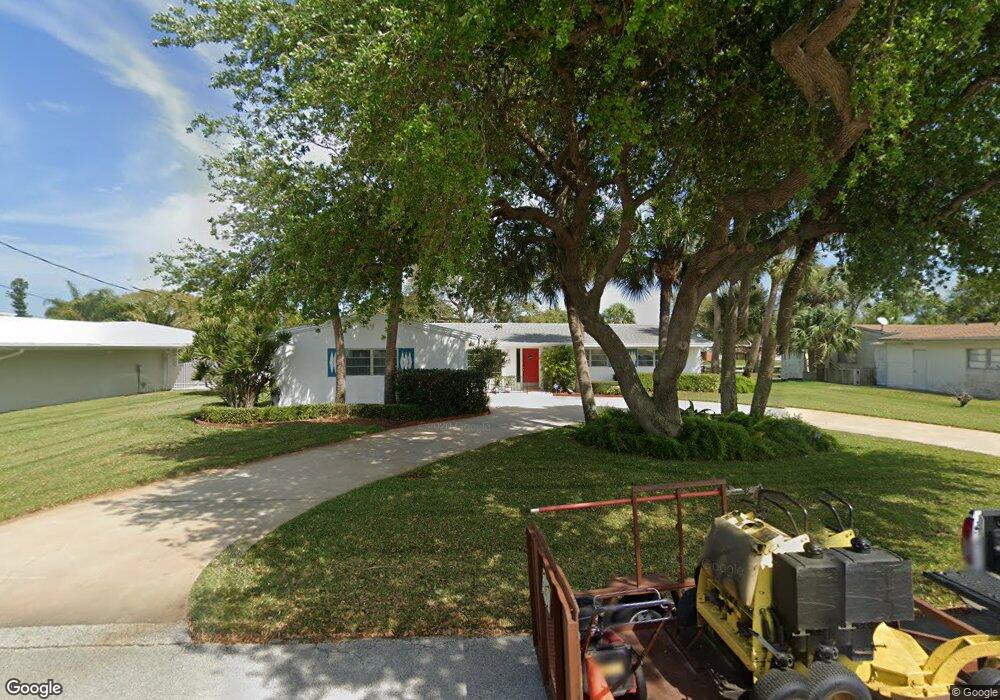
7 West Point Dr Cocoa Beach, FL 32931
Estimated Value: $964,000 - $1,984,983
4
Beds
2
Baths
3,304
Sq Ft
$465/Sq Ft
Est. Value
About This Home
This home is located at 7 West Point Dr, Cocoa Beach, FL 32931 and is currently estimated at $1,536,246, approximately $464 per square foot. 7 West Point Dr is a home located in Brevard County with nearby schools including Theodore Roosevelt Elementary School, Cocoa Beach Junior/Senior High School, and Cocoa Beach Christian School.
Ownership History
Date
Name
Owned For
Owner Type
Purchase Details
Closed on
Mar 3, 2016
Sold by
Kavanaugh Michael L
Bought by
Keller Allan Scott and Keller Cynthia Lynn
Current Estimated Value
Home Financials for this Owner
Home Financials are based on the most recent Mortgage that was taken out on this home.
Original Mortgage
$300,000
Outstanding Balance
$238,548
Interest Rate
3.79%
Estimated Equity
$1,297,698
Purchase Details
Closed on
Aug 25, 2008
Sold by
Kavanaugh Michael L and Stewart Jo Ann
Bought by
Kavanaugh Michael L and The Kavanaugh Family Trust
Purchase Details
Closed on
Feb 19, 2002
Sold by
Kavanaugh Florence H
Bought by
Kavanaugh Florence H
Create a Home Valuation Report for This Property
The Home Valuation Report is an in-depth analysis detailing your home's value as well as a comparison with similar homes in the area
Home Values in the Area
Average Home Value in this Area
Purchase History
We collect this data history from publicly available records. To have your information removed, we recommend requesting removal directly through your county’s website.
| Date | Buyer | Sale Price | Title Company |
|---|---|---|---|
| Keller Allan Scott | $449,000 | Superior Title Insurance Age | |
| Kavanaugh Michael L | -- | Attorney | |
| Kavanaugh Michael L | -- | Attorney | |
| Kavanaugh Michael L | -- | Attorney | |
| Kavanaugh Florence H | -- | -- |
Source: Public Records
Mortgage History
We collect this data history from publicly available records. To have your information removed, we recommend requesting removal directly through your county’s website.
| Date | Status | Borrower | Loan Amount |
|---|---|---|---|
| Open | Keller Allan Scott | $300,000 |
Source: Public Records
Tax History
| Year | Tax Paid | Tax Assessment Tax Assessment Total Assessment is a certain percentage of the fair market value that is determined by local assessors to be the total taxable value of land and additions on the property. | Land | Improvement |
|---|---|---|---|---|
| 2025 | $15,813 | $1,378,090 | -- | -- |
| 2024 | $15,706 | $1,339,260 | -- | -- |
| 2023 | $15,706 | $1,300,260 | $430,000 | $870,260 |
| 2022 | $4,878 | $430,000 | $0 | $0 |
| 2021 | $6,383 | $483,420 | $370,000 | $113,420 |
| 2020 | $5,848 | $425,700 | $310,000 | $115,700 |
| 2019 | $6,017 | $430,200 | $310,000 | $120,200 |
| 2018 | $6,147 | $440,250 | $295,000 | $145,250 |
| 2017 | $5,716 | $378,420 | $280,000 | $98,420 |
| 2016 | $2,741 | $230,000 | $230,000 | $0 |
| 2015 | $2,822 | $200,000 | $200,000 | $0 |
| 2014 | $2,843 | $200,000 | $200,000 | $0 |
Source: Public Records
Map
Nearby Homes
- 1790 Bayshore Dr
- 2 River Falls Dr
- 1470 Bayshore Dr
- 1364 Palmer Ct
- 1350 S Orlando Ave
- 93 W Bay Dr
- 2050 S Atlantic Ave
- 1800 S Orlando Ave Unit 1
- 1515 S Atlantic Ave Unit 404
- 1700 S Atlantic Ave Unit 207
- 1700 S Atlantic Ave Unit 104
- 1700 S Atlantic Ave Unit 103
- 1493 S Atlantic Ave Unit 21
- 1350 S Atlantic Ave
- 1299 S Orlando Ave
- 1277 S Orlando Ave Unit 4B
- 2001 Julep Dr Unit 206- 3rd Floor
- 1835 S Atlantic Ave Unit 301
- 1251 S Atlantic Ave Unit 403
- 1915 S Atlantic Ave Unit 202
- 7 W Point Dr
- 6 West Point Dr
- 8 West Point Dr
- 8 W Point Dr
- 5 West Point Dr
- 9 West Point Dr
- 29 West Point Dr
- 29 W Point Dr
- 9 W Point Dr
- 30 W Point Dr
- 28 West Point Dr
- 30 West Point Dr
- 1718 Bayshore Dr
- 1746 Bayshore Dr
- 4 W Point Dr
- 31 W Point Dr
- 27 West Point Dr
- 1712 Bay Shore Dr
- 4 West Point Dr
- 31 West Point Dr
Your Personal Tour Guide
Ask me questions while you tour the home.