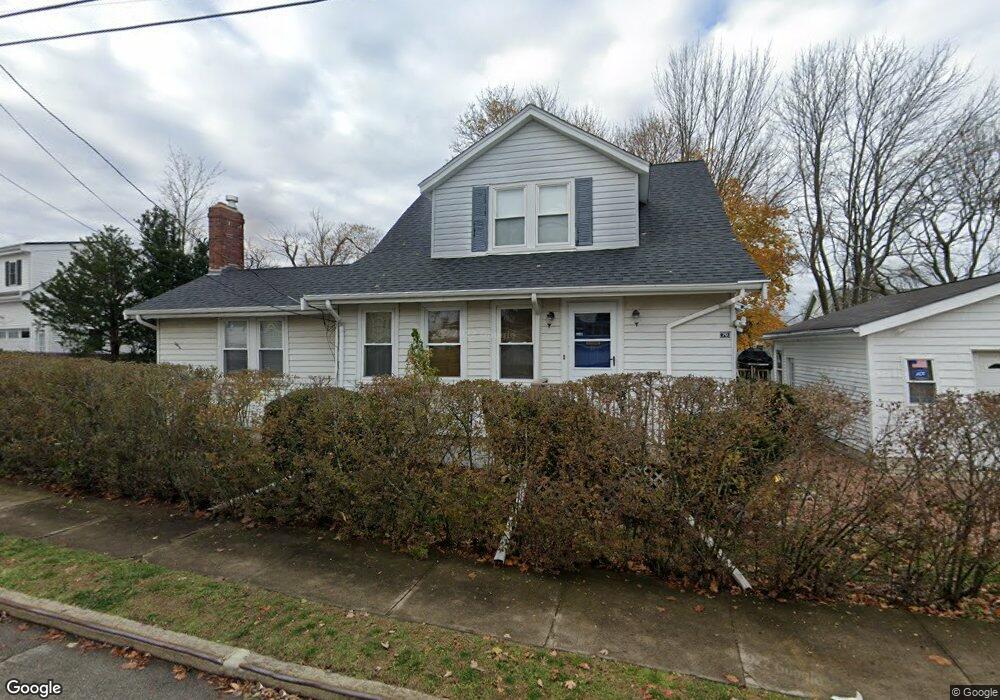
70 Arnold Rd Quincy, MA 02171
North Quincy NeighborhoodEstimated Value: $743,000 - $806,000
3
Beds
2
Baths
1,664
Sq Ft
$469/Sq Ft
Est. Value
About This Home
This home is located at 70 Arnold Rd, Quincy, MA 02171 and is currently estimated at $779,692, approximately $468 per square foot. 70 Arnold Rd is a home located in Norfolk County with nearby schools including Francis W. Parker Elementary School, Atlantic Middle School, and North Quincy High School.
Ownership History
Date
Name
Owned For
Owner Type
Purchase Details
Closed on
Nov 14, 2023
Sold by
Chaline Jean-Pierre
Bought by
Jean-Pierre Chaline T and Jean-Pierre Chaline
Current Estimated Value
Purchase Details
Closed on
Feb 17, 1994
Sold by
Chaline George R and Chaline Patricia
Bought by
Chaline Jean-Pierre and Chaline Peter
Home Financials for this Owner
Home Financials are based on the most recent Mortgage that was taken out on this home.
Original Mortgage
$85,000
Interest Rate
7.18%
Mortgage Type
Purchase Money Mortgage
Create a Home Valuation Report for This Property
The Home Valuation Report is an in-depth analysis detailing your home's value as well as a comparison with similar homes in the area
Home Values in the Area
Average Home Value in this Area
Purchase History
We collect this data history from publicly available records. To have your information removed, we recommend requesting removal directly through your county’s website.
| Date | Buyer | Sale Price | Title Company |
|---|---|---|---|
| Jean-Pierre Chaline T | -- | None Available | |
| Chaline Jean-Pierre | $125,000 | -- |
Source: Public Records
Mortgage History
We collect this data history from publicly available records. To have your information removed, we recommend requesting removal directly through your county’s website.
| Date | Status | Borrower | Loan Amount |
|---|---|---|---|
| Previous Owner | Chaline Jean-Pierre | $85,000 | |
| Previous Owner | Chaline Jean-Pierre | $10,000 |
Source: Public Records
Tax History
| Year | Tax Paid | Tax Assessment Tax Assessment Total Assessment is a certain percentage of the fair market value that is determined by local assessors to be the total taxable value of land and additions on the property. | Land | Improvement |
|---|---|---|---|---|
| 2025 | $8,485 | $735,900 | $424,100 | $311,800 |
| 2024 | $8,264 | $733,300 | $424,100 | $309,200 |
| 2023 | $7,518 | $675,500 | $385,900 | $289,600 |
| 2022 | $7,107 | $593,200 | $309,500 | $283,700 |
| 2021 | $7,079 | $583,100 | $309,500 | $273,600 |
| 2020 | $7,121 | $572,900 | $303,500 | $269,400 |
| 2019 | $6,659 | $530,600 | $292,000 | $238,600 |
| 2018 | $6,777 | $508,000 | $278,300 | $229,700 |
| 2017 | $6,700 | $472,800 | $253,300 | $219,500 |
| 2016 | $6,343 | $441,700 | $230,600 | $211,100 |
| 2015 | $5,801 | $397,300 | $209,900 | $187,400 |
| 2014 | $5,515 | $371,100 | $209,900 | $161,200 |
Source: Public Records
Map
Nearby Homes
- 27 Herbert Rd
- 46 Warwick St
- 153 Vassall St
- 677 Quincy Shore Dr Unit 408
- 69 Bromfield St
- 75 Walker St
- 20 Ellington Rd
- 851 Quincy Shore Dr
- 16 W Squantum St
- 17 Holmes St Unit 101
- 17 Holmes St Unit 1
- 113 Elm Ave
- 35 Sewall St
- 9 Chick St
- 175 Quincy Shore Dr Unit B33
- 175 Quincy Shore Dr Unit B66
- 175 Quincy Shore Dr Unit B23
- 228 Quincy Shore Dr
- 212 Quincy Shore Dr
- 156 Crabtree Rd
- 74 Arnold Rd
- 29 Herbert Rd
- 23 Herbert Rd
- 65 Arnold Rd
- 58 Arnold Rd
- 21 Herbert Rd
- 71 Arnold Rd
- 71 Arnold Rd Unit 2
- 593 Quincy Shore Dr
- 593 Quincy Shore Dr
- 593 Quincy Shore Dr Unit 2
- 595 Quincy Shore Dr Unit 2
- 61 Arnold Rd
- 75 Arnold Rd
- 585 Quincy Shore Dr
- 19 Herbert Rd
- 599 Quincy Shore Dr
- 54 Arnold Rd
- 15 Herbert Rd
- 32 Carle Rd
Your Personal Tour Guide
Ask me questions while you tour the home.