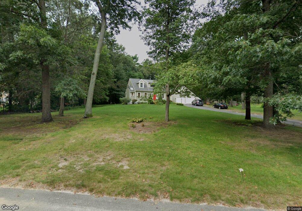
70 Birchbark Dr Hanson, MA 02341
Estimated Value: $738,000 - $951,000
About This Home
This home is located at 70 Birchbark Dr, Hanson, MA 02341 and is currently estimated at $830,138, approximately $440 per square foot. 70 Birchbark Dr is a home located in Plymouth County with nearby schools including St Bridget School.
Ownership History
We collect this data history from publicly available records. To have your information removed, we recommend requesting removal directly through your county’s website.
Purchase Details
Purchase Details
Home Values in the Area
Average Home Value in this Area
Purchase History
We collect this data history from publicly available records. To have your information removed, we recommend requesting removal directly through your county’s website.
| Date | Buyer | Sale Price | Title Company |
|---|---|---|---|
| $225,500 | -- | ||
| $217,000 | -- |
Mortgage History
We collect this data history from publicly available records. To have your information removed, we recommend requesting removal directly through your county’s website.
| Date | Status | Borrower | Loan Amount |
|---|---|---|---|
| Open | $211,400 | ||
| Closed | $275,000 | ||
| Closed | $50,000 |
Tax History
We collect this data history from publicly available records. To have your information removed, we recommend requesting removal directly through your county’s website.
| Year | Tax Paid | Tax Assessment Tax Assessment Total Assessment is a certain percentage of the fair market value that is determined by local assessors to be the total taxable value of land and additions on the property. | Land | Improvement |
|---|---|---|---|---|
| 2025 | $10,677 | $798,000 | $196,000 | $602,000 |
| 2024 | $10,469 | $782,400 | $190,300 | $592,100 |
| 2023 | $9,482 | $668,700 | $190,300 | $478,400 |
| 2022 | $9,181 | $608,400 | $173,000 | $435,400 |
| 2021 | $8,361 | $553,700 | $166,400 | $387,300 |
| 2020 | $8,247 | $540,100 | $160,700 | $379,400 |
| 2019 | $7,819 | $503,500 | $157,600 | $345,900 |
| 2018 | $7,739 | $488,900 | $151,600 | $337,300 |
| 2017 | $7,511 | $470,000 | $144,300 | $325,700 |
| 2016 | $7,613 | $460,000 | $144,300 | $315,700 |
| 2015 | $7,197 | $452,100 | $144,300 | $307,800 |
Map
- 321 Birchbark Dr
- 867 Whitman St
- 842 Whitman St
- 822 Whitman St
- 24 Bowker Ave
- 724 Whitman St
- 55 Plymouth St Unit 40L
- 55 Plymouth St Unit J35
- 214 Winter St
- Lot 5 Princeton Way
- 45 Brigham St
- 103 Standpipe Dr
- 560 South Ave
- 1 Harvard Rd
- 50 Sawmill Ln Unit 5
- 361A County Rd
- 5 Satucket Rd
- 93 Stonebridge Dr Unit 93
- 177 Pleasant St
- 289 Commercial St
- 480 Birchbark Dr
- 86 Birchbark Dr
- 83 Birchbark Dr
- 104 Birchbark Dr
- 65 Birchbark Dr
- 97 Birchbark Dr
- 451 Birchbark Dr
- 444 Birchbark Dr
- 111 Birchbark Dr
- 47 Birchbark Dr
- 14 Live Oak Way
- 120 Birchbark Dr
- 344 Birchbark Dr
- 26 Birchbark Dr
- 366 Birchbark Dr
- 31 Birchbark Dr
- 94 Forest Trail
- 400 Birchbark Dr
- 104 Forest Trail
- 127 Birchbark Dr
Ask me questions while you tour the home.