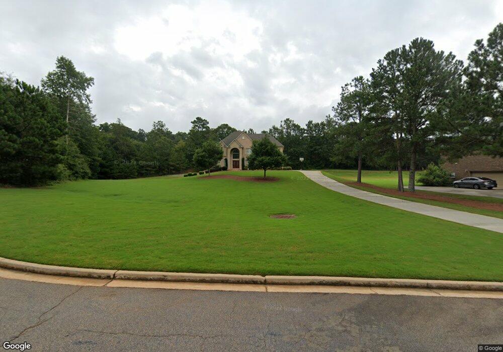
70 Cannonade Ct Covington, GA 30016
Covington AreaEstimated Value: $458,000 - $526,000
About This Home
This home is located at 70 Cannonade Ct, Covington, GA 30016 and is currently estimated at $486,214, approximately $134 per square foot. 70 Cannonade Ct is a home located in Newton County with nearby schools including Livingston Elementary School, Liberty Middle School, and Alcovy High School.
Ownership History
We collect this data history from publicly available records. To have your information removed, we recommend requesting removal directly through your county’s website.
Purchase Details
Home Values in the Area
Average Home Value in this Area
Purchase History
We collect this data history from publicly available records. To have your information removed, we recommend requesting removal directly through your county’s website.
| Date | Buyer | Sale Price | Title Company |
|---|---|---|---|
| $403,700 | -- |
Mortgage History
We collect this data history from publicly available records. To have your information removed, we recommend requesting removal directly through your county’s website.
| Date | Status | Borrower | Loan Amount |
|---|---|---|---|
| Open | $313,400 |
Tax History
We collect this data history from publicly available records. To have your information removed, we recommend requesting removal directly through your county’s website.
| Year | Tax Paid | Tax Assessment Tax Assessment Total Assessment is a certain percentage of the fair market value that is determined by local assessors to be the total taxable value of land and additions on the property. | Land | Improvement |
|---|---|---|---|---|
| 2025 | $4,678 | $185,200 | $24,800 | $160,400 |
| 2024 | $4,474 | $173,880 | $24,800 | $149,080 |
| 2023 | $4,650 | $168,800 | $12,000 | $156,800 |
| 2022 | $4,034 | $146,080 | $12,000 | $134,080 |
| 2021 | $4,391 | $142,480 | $12,000 | $130,480 |
| 2020 | $4,372 | $128,120 | $12,000 | $116,120 |
| 2019 | $4,008 | $115,520 | $11,200 | $104,320 |
| 2018 | $3,858 | $110,400 | $11,200 | $99,200 |
| 2017 | $3,626 | $103,640 | $11,200 | $92,440 |
| 2016 | $3,431 | $97,960 | $11,200 | $86,760 |
| 2015 | $3,263 | $93,080 | $11,200 | $81,880 |
| 2014 | $3,252 | $93,080 | $0 | $0 |
Map
- 65 Belmont Cir
- 10 Belmont Trail
- 50 Glen Echo Dr
- 170 Belmont Cir
- 35 Carlisle Ct
- 20 Ellis Trail
- 130 Lakefront Dr
- 115 Huntington St
- 235 Oak Hill Cir Unit 2
- 80 Emily Trace
- 165 Lakefront Dr
- 355 Oak Hill Cir Unit 2
- 2122 Breamore Dr Unit 23
- 4408 Highway NE
- 125 Oak Hill Dr
- 585 Cowan Rd
- 20 Crooked Creek Way
- 550 Cowan Rd
- 275 Branchwood Dr
- 205 Woodcrest Dr
- 80 Cannonade Ct
- 85 Cannonade Ct Unit 10
- 85 Cannonade Ct
- 60 Cannonade Ct
- 75 Cannonade Ct Unit 9
- 0 Bethany Rd
- 00 Bethany Rd
- 0 Bethany Rd Unit 7558721
- 0 Bethany Rd Unit 7437015
- 0 Bethany Rd Unit 7215532
- 0 Bethany Rd Unit 7121075
- 0 Bethany Rd Unit 8105308
- 0 Bethany Rd Unit 5248018
- 3648 Highway 81 S
- 50 Cannonade Ct Unit 4
- 55 Cannonade Ct Unit 10
- 55 Cannonade Ct
- 3730 Highway 81 S Unit 1
- 3730 Highway 81 S
- 105 Belmont Trail
Ask me questions while you tour the home.