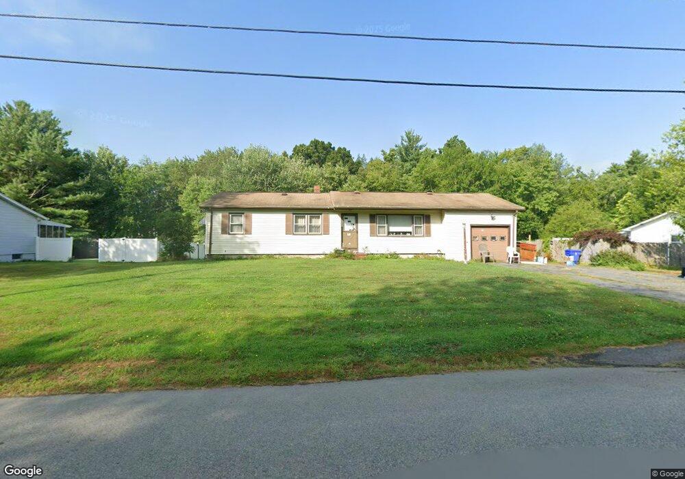
70 Disamar Rd Taunton, MA 02780
City Center NeighborhoodEstimated Value: $443,000 - $493,000
3
Beds
2
Baths
1,104
Sq Ft
$424/Sq Ft
Est. Value
About This Home
This home is located at 70 Disamar Rd, Taunton, MA 02780 and is currently estimated at $468,527, approximately $424 per square foot. 70 Disamar Rd is a home located in Bristol County with nearby schools including Elizabeth Pole School, Taunton High School, and John F. Parker Middle School.
Create a Home Valuation Report for This Property
The Home Valuation Report is an in-depth analysis detailing your home's value as well as a comparison with similar homes in the area
Home Values in the Area
Average Home Value in this Area
Tax History
We collect this data history from publicly available records. To have your information removed, we recommend requesting removal directly through your county’s website.
| Year | Tax Paid | Tax Assessment Tax Assessment Total Assessment is a certain percentage of the fair market value that is determined by local assessors to be the total taxable value of land and additions on the property. | Land | Improvement |
|---|---|---|---|---|
| 2025 | $4,175 | $381,600 | $127,300 | $254,300 |
| 2024 | $3,897 | $348,300 | $127,300 | $221,000 |
| 2023 | $3,837 | $318,400 | $127,300 | $191,100 |
| 2022 | $3,655 | $277,300 | $106,100 | $171,200 |
| 2021 | $3,591 | $252,900 | $96,400 | $156,500 |
| 2020 | $3,580 | $240,900 | $96,400 | $144,500 |
| 2019 | $3,630 | $230,300 | $96,400 | $133,900 |
| 2018 | $3,389 | $215,600 | $97,400 | $118,200 |
| 2017 | $3,261 | $207,600 | $92,300 | $115,300 |
| 2016 | $3,144 | $200,500 | $89,600 | $110,900 |
| 2015 | $3,055 | $203,500 | $91,100 | $112,400 |
| 2014 | $2,929 | $200,500 | $91,100 | $109,400 |
Source: Public Records
Map
Nearby Homes
- 110 Dean St Unit 21
- 110 Dean St Unit 44
- 110 Dean St Unit 77
- 110 Dean St Unit 104
- 215 Longmeadow Rd Unit 603
- 172 Dean St Unit 15
- 0 S Main St Unit 73443212
- 44 Dean St Unit 215
- 115 Forge River Pkwy
- 212 School St
- 152 Forgeriver
- 71 Ashland St
- 31 Wilbur St
- 87 Baylies Rd
- 11 Duffy Dr
- 23 Grant St
- 42 Fayette Place
- 41 Benefit St
- 90 School St
- 58 Summer St
Your Personal Tour Guide
Ask me questions while you tour the home.