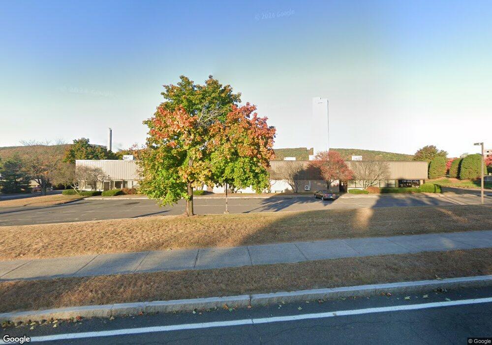
70 Enterprise Dr Unit A Bristol, CT 06010
Forestville NeighborhoodEstimated Value: $2,537,044
Studio
--
Bath
29,994
Sq Ft
$85/Sq Ft
Est. Value
About This Home
This home is located at 70 Enterprise Dr Unit A, Bristol, CT 06010 and is currently estimated at $2,537,044, approximately $84 per square foot. 70 Enterprise Dr Unit A is a home located in Hartford County with nearby schools including Bristol Central High School, Central Christian Academy, and St. Joseph School.
Ownership History
Date
Name
Owned For
Owner Type
Purchase Details
Closed on
Jan 10, 2012
Sold by
Pangus Rental Co
Bought by
Prim Pub Llc
Current Estimated Value
Create a Home Valuation Report for This Property
The Home Valuation Report is an in-depth analysis detailing your home's value as well as a comparison with similar homes in the area
Home Values in the Area
Average Home Value in this Area
Purchase History
| Date | Buyer | Sale Price | Title Company |
|---|---|---|---|
| Prim Pub Llc | $1,340,000 | -- |
Source: Public Records
Mortgage History
| Date | Status | Borrower | Loan Amount |
|---|---|---|---|
| Previous Owner | Prim Pub Llc | $1,200,000 | |
| Previous Owner | Prim Pub Llc | $1,200,000 |
Source: Public Records
Tax History
| Year | Tax Paid | Tax Assessment Tax Assessment Total Assessment is a certain percentage of the fair market value that is determined by local assessors to be the total taxable value of land and additions on the property. | Land | Improvement |
|---|---|---|---|---|
| 2025 | $40,255 | $1,192,730 | $290,360 | $902,370 |
| 2024 | $37,988 | $1,192,730 | $290,360 | $902,370 |
| 2023 | $36,199 | $1,192,730 | $290,360 | $902,370 |
| 2022 | $39,403 | $1,027,460 | $252,420 | $775,040 |
| 2021 | $39,403 | $1,027,460 | $252,420 | $775,040 |
| 2020 | $39,403 | $1,027,460 | $252,420 | $775,040 |
| 2019 | $39,095 | $1,027,460 | $252,420 | $775,040 |
| 2018 | $37,893 | $1,027,460 | $252,420 | $775,040 |
| 2017 | $36,714 | $1,018,990 | $267,190 | $751,800 |
| 2016 | $36,714 | $1,018,990 | $267,190 | $751,800 |
| 2015 | $35,267 | $1,018,990 | $267,190 | $751,800 |
| 2014 | $35,267 | $1,018,990 | $267,190 | $751,800 |
Source: Public Records
Map
Nearby Homes
- 295 Redstone Hill Rd Unit 3
- 155 Redstone Hill Rd Unit 60
- 155 Redstone Hill Rd Unit 176
- 513 Emmett St Unit 13
- 426 Emmett St Unit A
- 422 Emmett St Unit E
- 421 Emmett St Unit 2
- 370 Emmett St Unit 4-4
- 370 Emmett St Unit 5-5
- 370 Emmett St Unit 5-2
- 370 Emmett St Unit 4-3
- 370 Emmett St Unit 4-2
- 370 Emmett St Unit 3-2
- 370 Emmett St Unit 5-3
- 370 Emmett St Unit 3-4
- 370 Emmett St Unit 4-1
- 370 Emmett St Unit 5-1
- 370 Emmett St Unit 5-4
- 370 Emmett St Unit 3-3
- 536 Redstone Hill Rd Unit 24
- 111 Enterprise Dr
- 714 Middle St Unit 1A
- 714 Middle St Unit 3A
- 714 Middle St
- 136 Enterprise Dr
- 592 Middle St
- 584 Middle St
- 570 Middle St
- 106 Pine St
- 558 Middle St
- 90 Pine Brook Terrace
- 852 Middle St
- 848 Middle St
- 10-90 Pine Brook Terrace
- 2 Robinwood Rd
- 2 Robinwood Rd
- 121 Redstone Hill Rd
- 454 Middle St
- 454 Middle St
- 123 Redstone Hill Rd
Your Personal Tour Guide
Ask me questions while you tour the home.